About Marina Alta
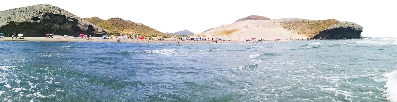
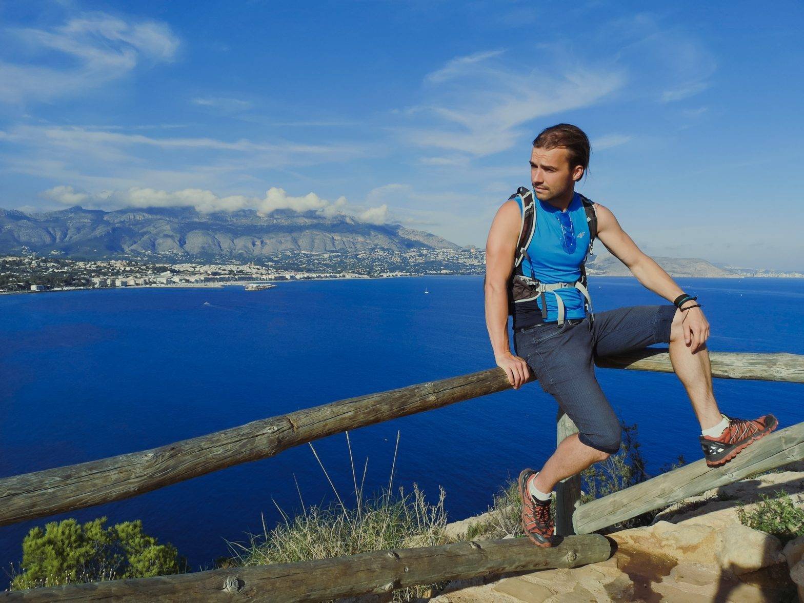
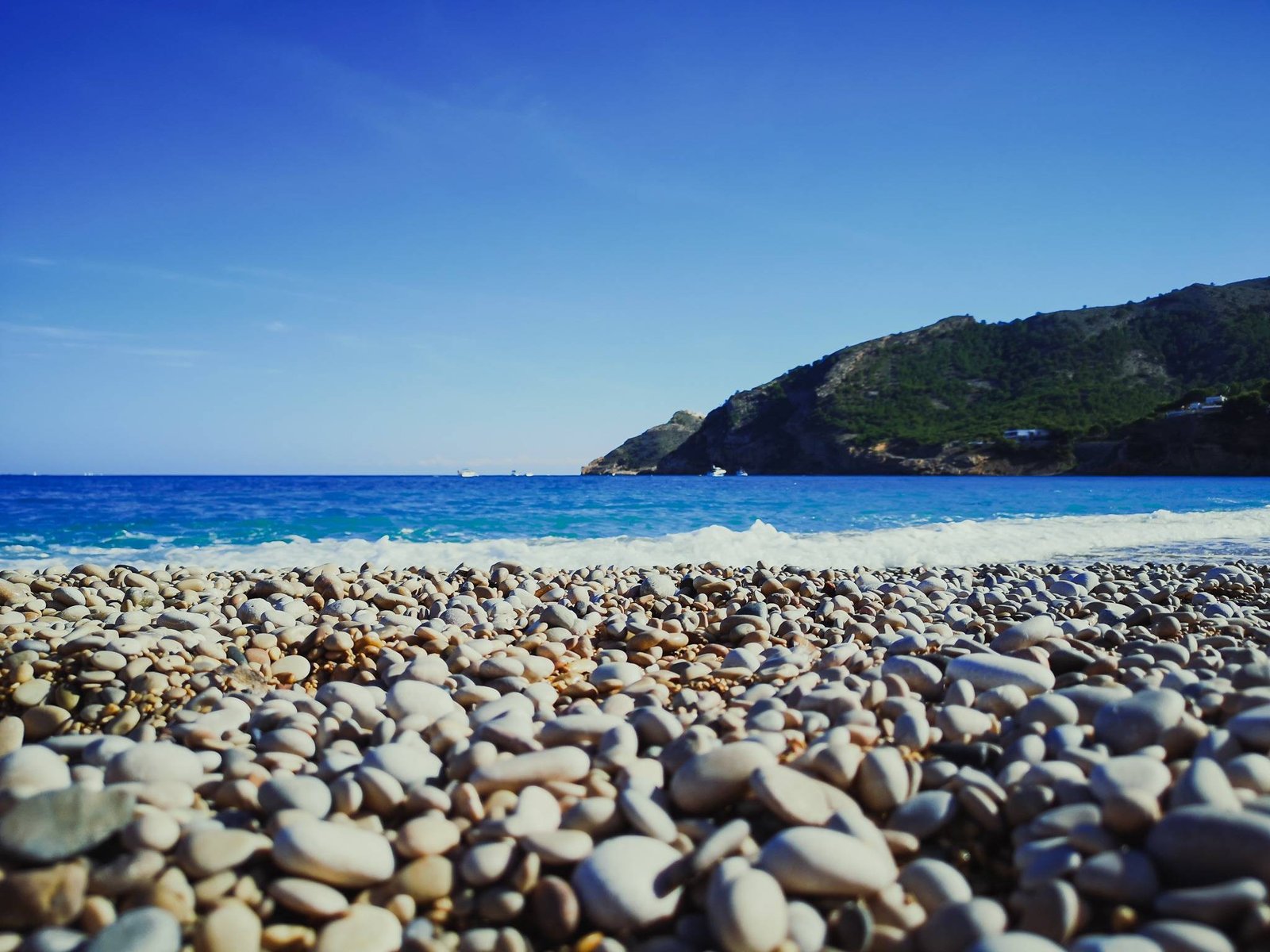
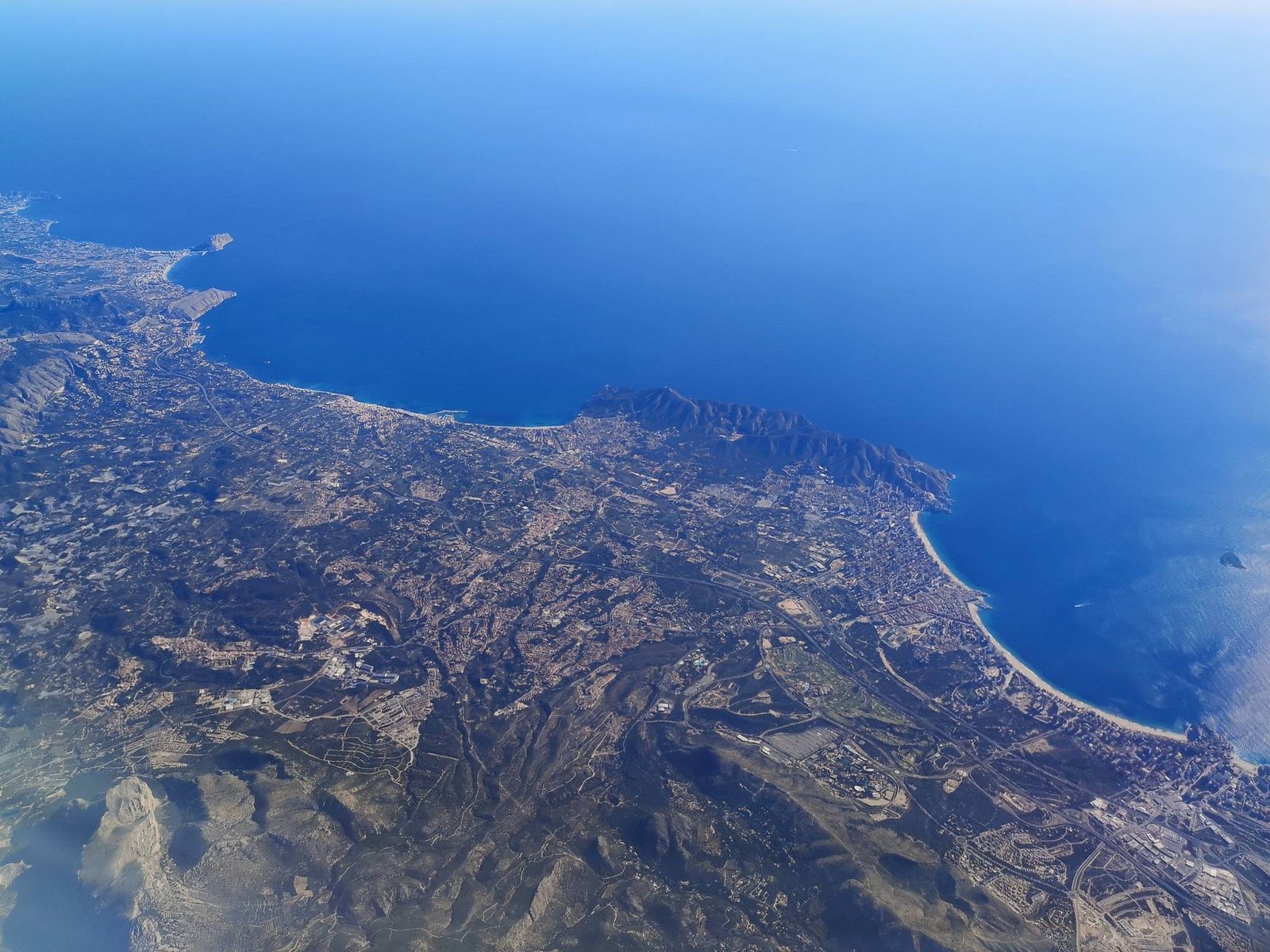
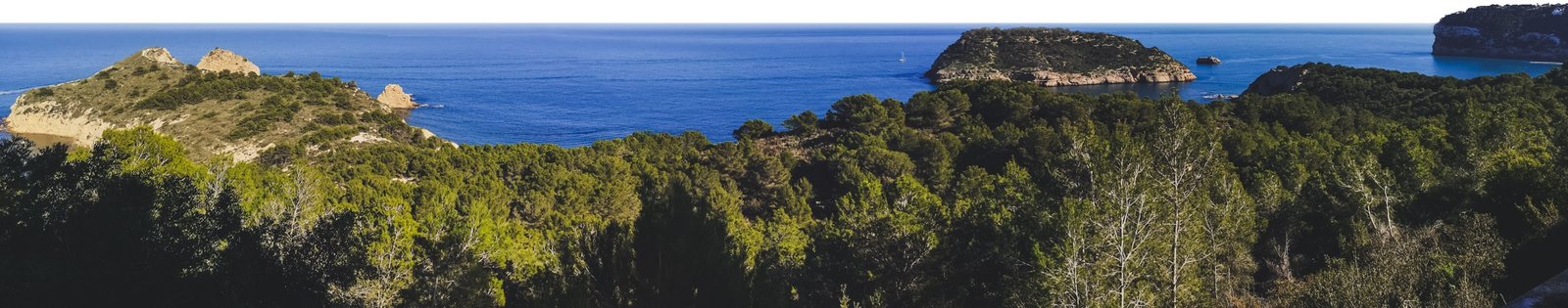
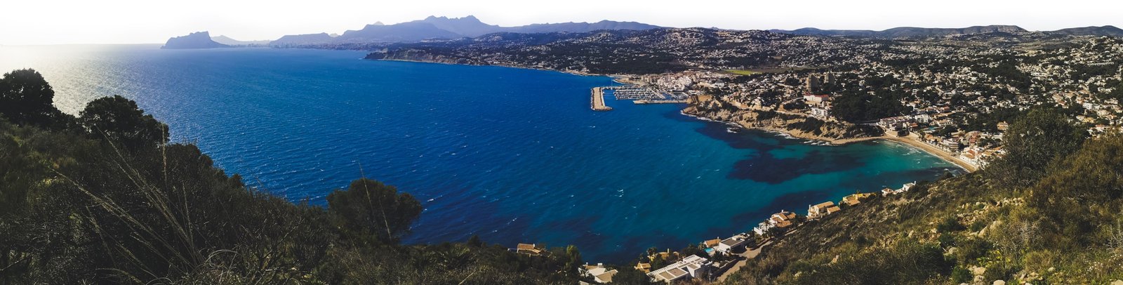
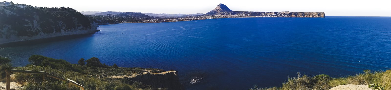
Without a doubt, Marina Alta is the most beautiful region of Costa Blanca. It wouldn’t surprise me if it was ranked right there at the top on a hypothetical factual “the most beautiful Mediterranean coastlines of mainland Europe”. There is no such list but what I’m trying to say – Marina Alta is exceptionally beautiful. You might not have heard of it but sure you have heard of Ibiza and Balearic Islands? Marina Alta is the part of Spain between the gulf of Valencia and the gulf of Alicante, which is the closest point to these iconic Spanish islands. I would argue that the cliffs and some of the beaches are just as beautiful as in the islands. One way or another, any of the best hikes in Marina Alta could be a very pleasant surprise.
Geography & Geology
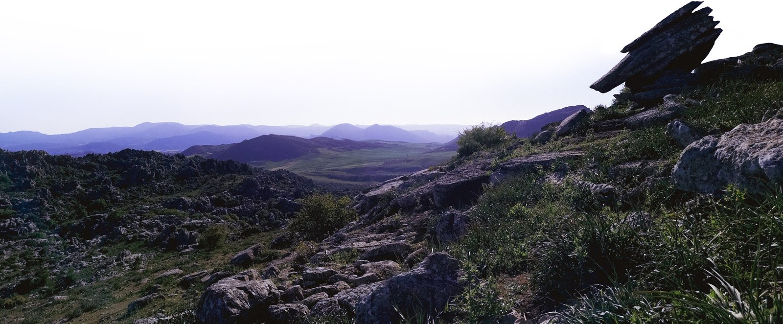
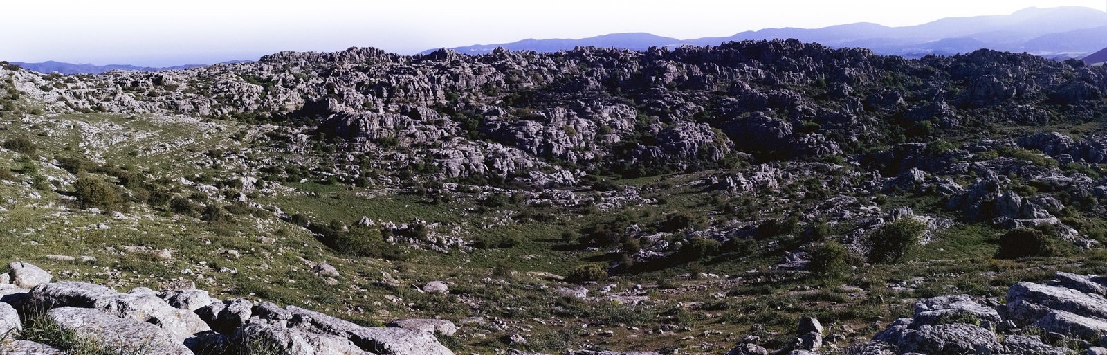
The direct translation of Marina Alta from Spanish to English is the “high port”, as an opposition to the nearby Marina Baixa, or the “low docks”, the region surrounding Benidorm. The name of Marina Alta could be easily explained by geography and geology. The region is located on the southernmost edge of mainland Spain, which has raised from the sea millions of years ago, when the Eurasian plate collided with the African one. This massive event led to the genesis of many mountains in Europe, but the closest to the point of origin are the Betic Mountains, with Marina Alta located on one end of it. The other being nothing else but famous Gibraltar and Betic Mountains dominating the scenery of the whole landscape in-between in one way or another.
As Phoenicians themselves noticed in ancient times, Betic Mountains is more or less the area between the Western Rock (Gibraltar) and the Eastern Rock (Penon de Ifach). Technically, the latter one being a part of Marina Alta but since I wrote about climbing Penon de Ifach so much, this hiking route will escape the list at least for now. Despite that, the famous Cape rock adds to the region of Marina Alta, which is simply could be called a hikers’ paradise.
Marina Alta Details
- Location: Costa Blanca
- Province: Alicante
- Coordinates: 38.7787° N, 0.0373°
- Biggest cities: Denia, Javea & Calp
- Population: 175,156 (2018)
- Area: 767.2 km2 (296.21 sq mi)
- Time zone: Central European Standard Time (GMT+1)
- Currency: Euro
- Driving side: left
- Forecast: Javea forecast
- Best time to visit: April, June, September & October
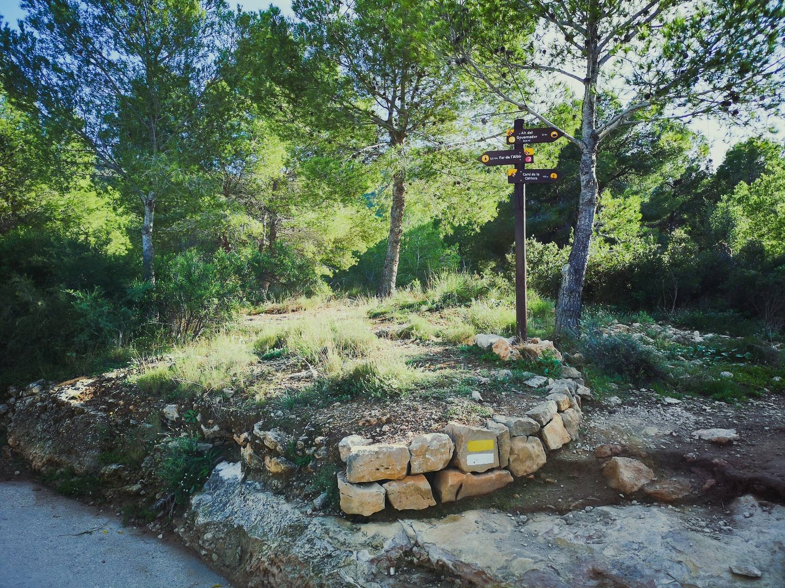
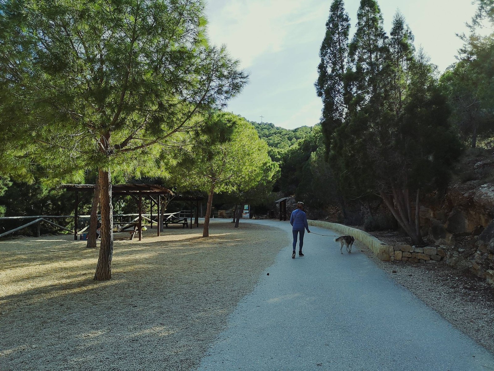
Marina Alta Hiking Map
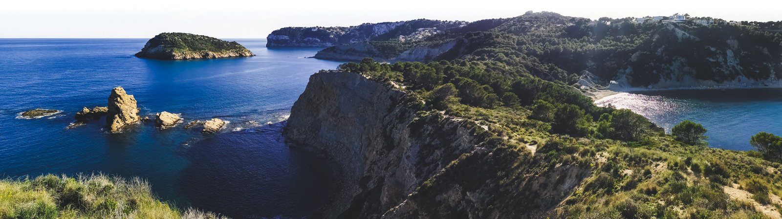
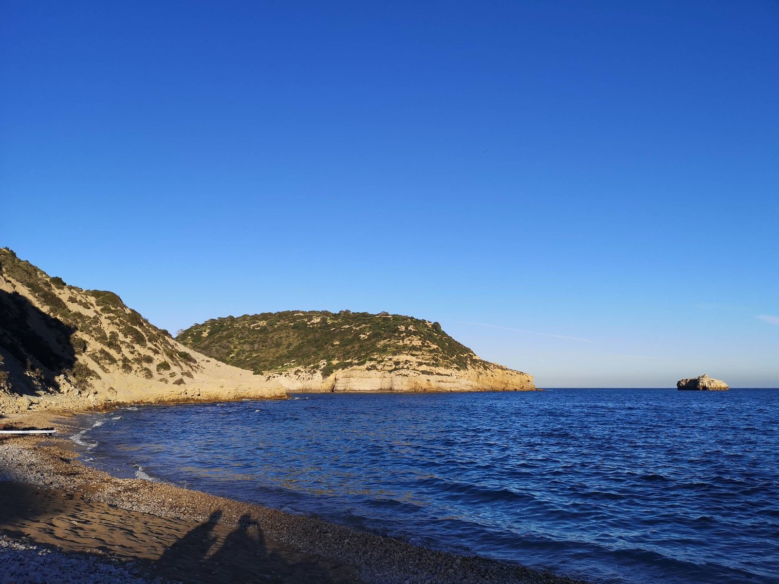
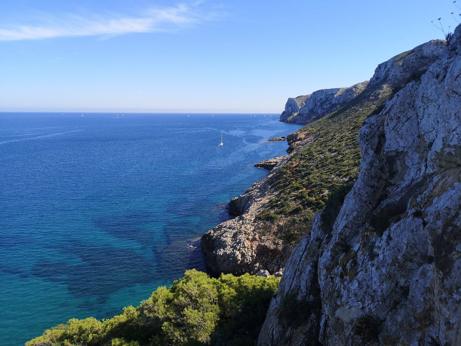
Calla del Moraig – Calla del Llebeig (Los Acantilados)
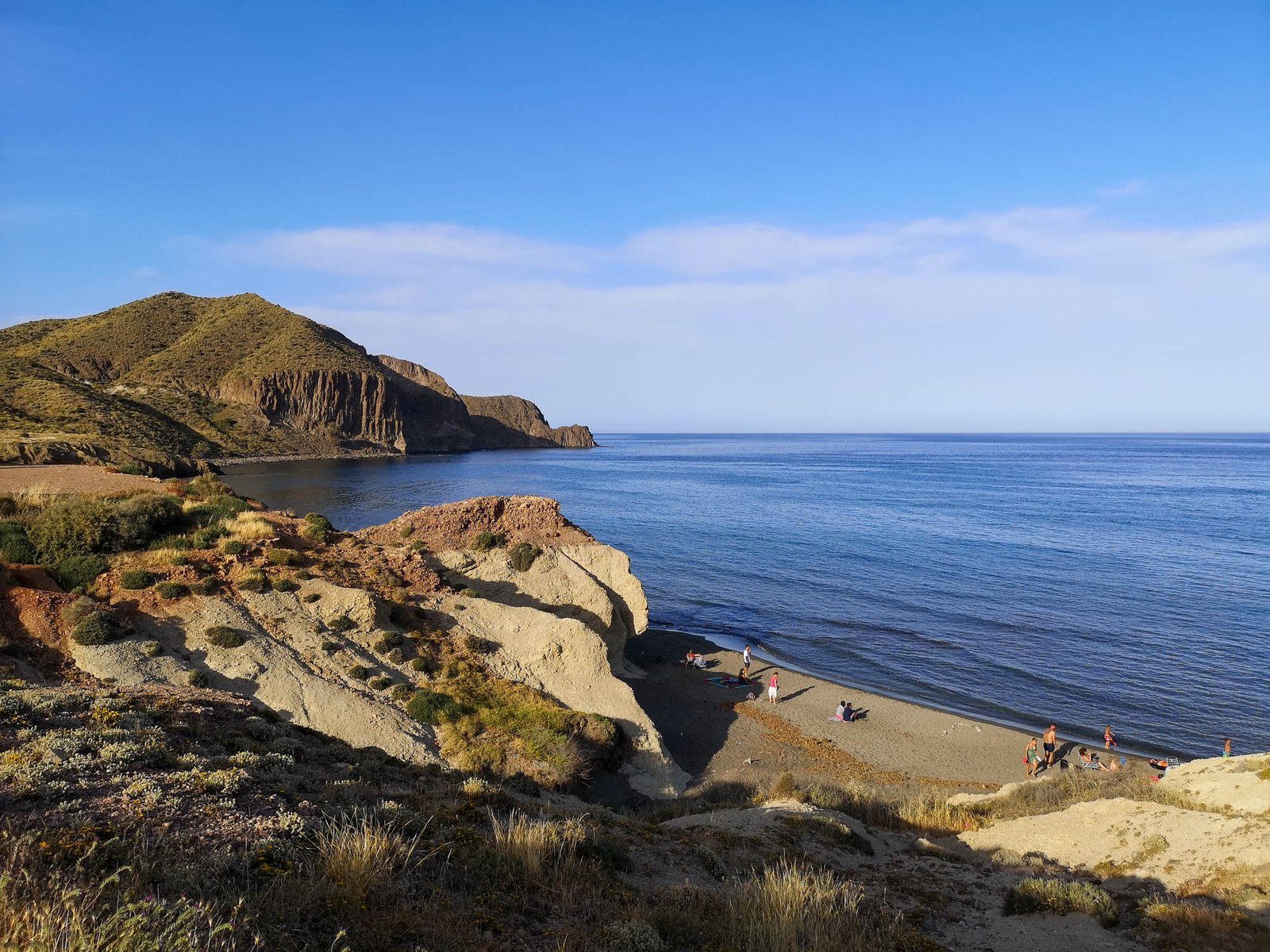
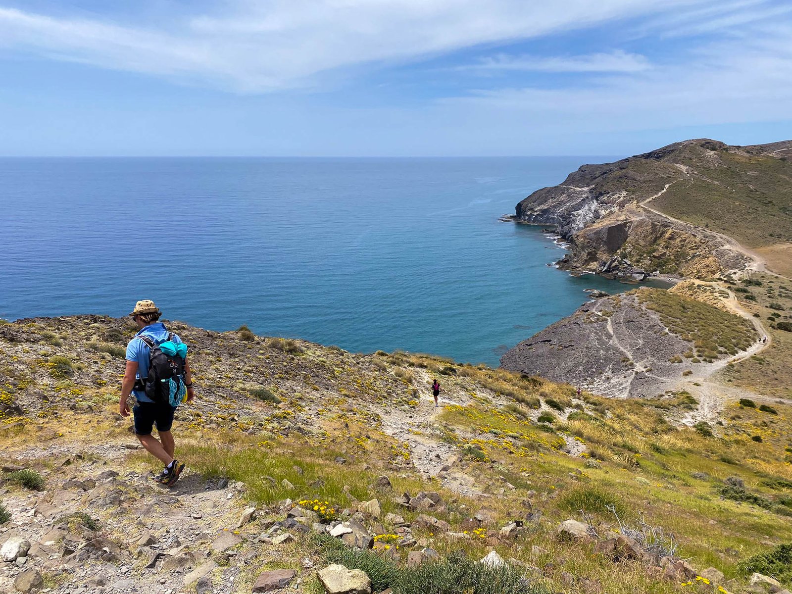
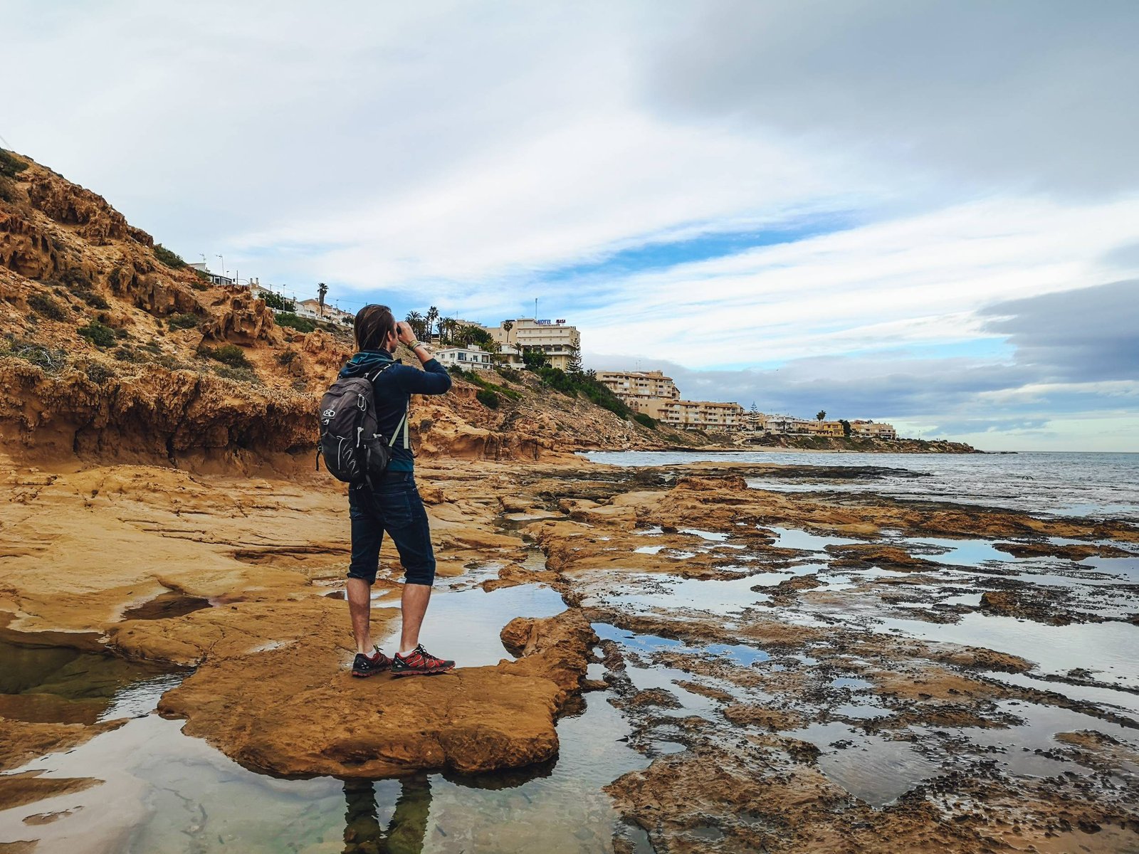
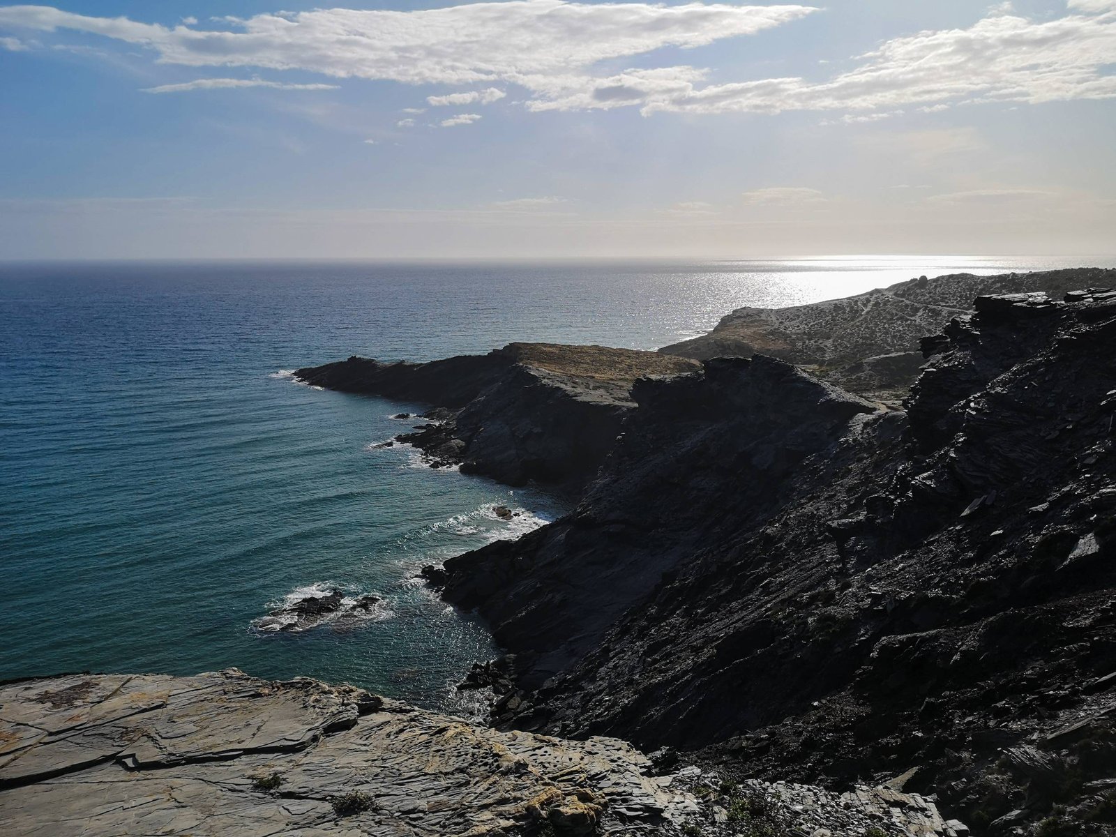
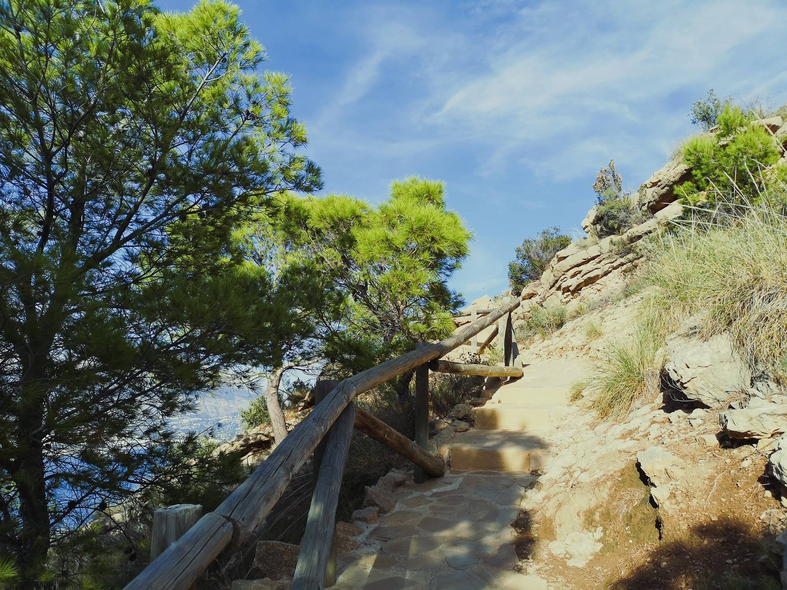
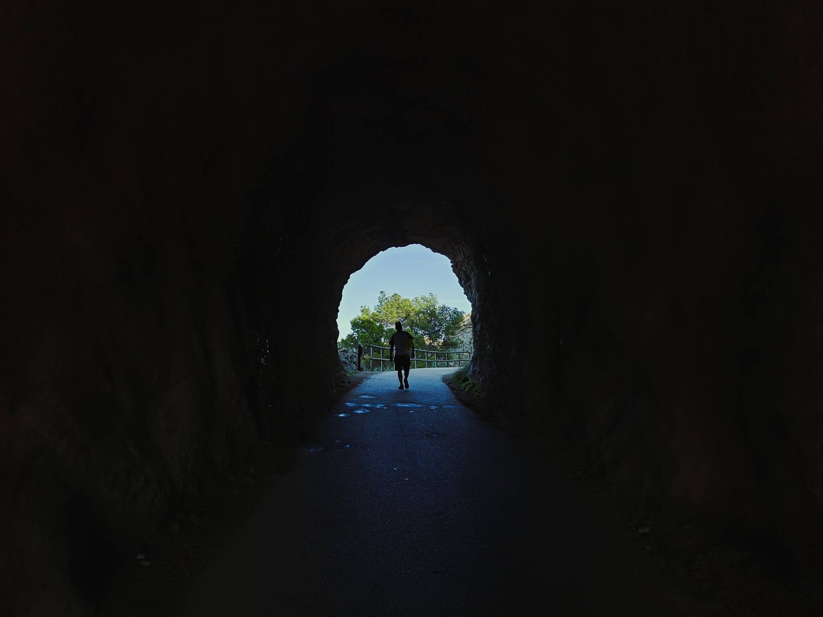
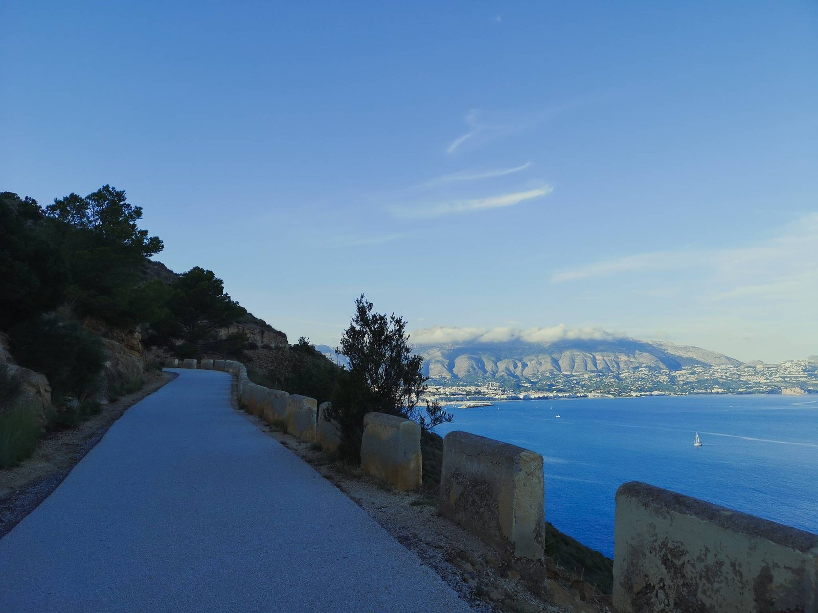
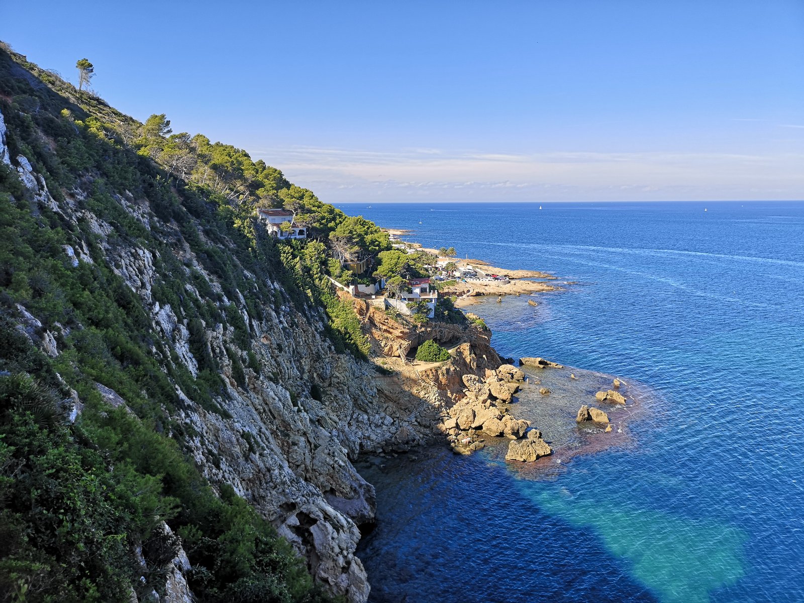
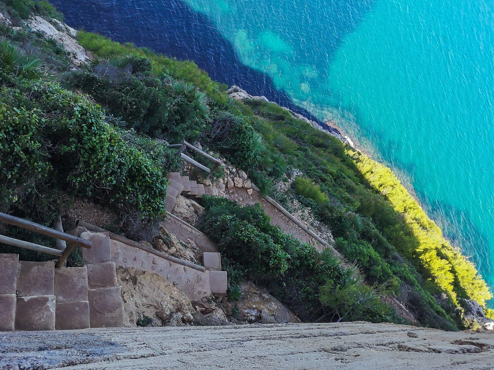
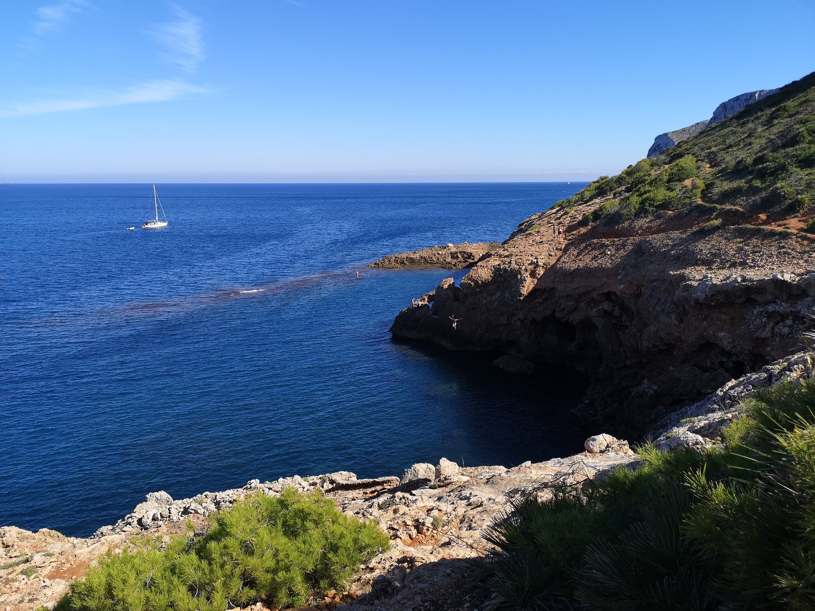
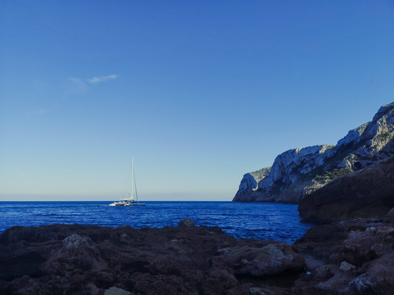
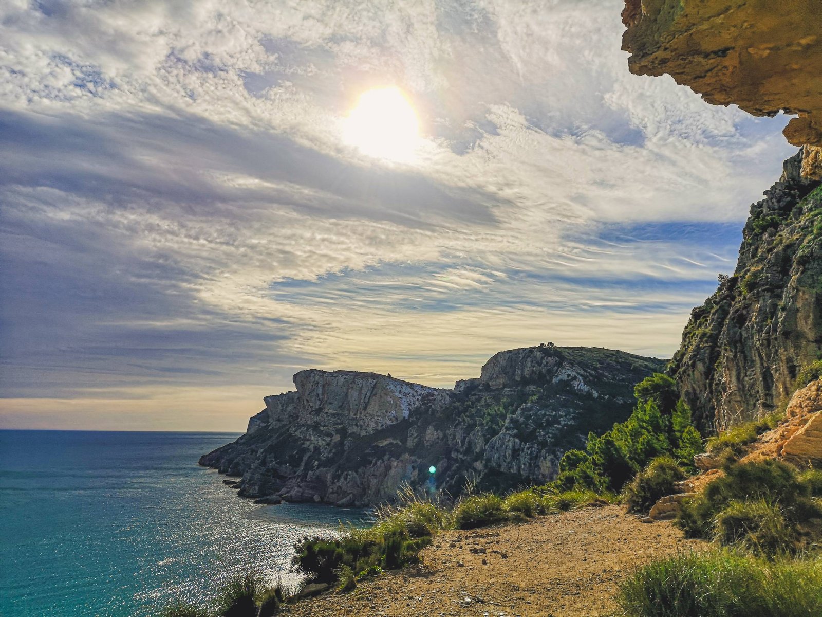
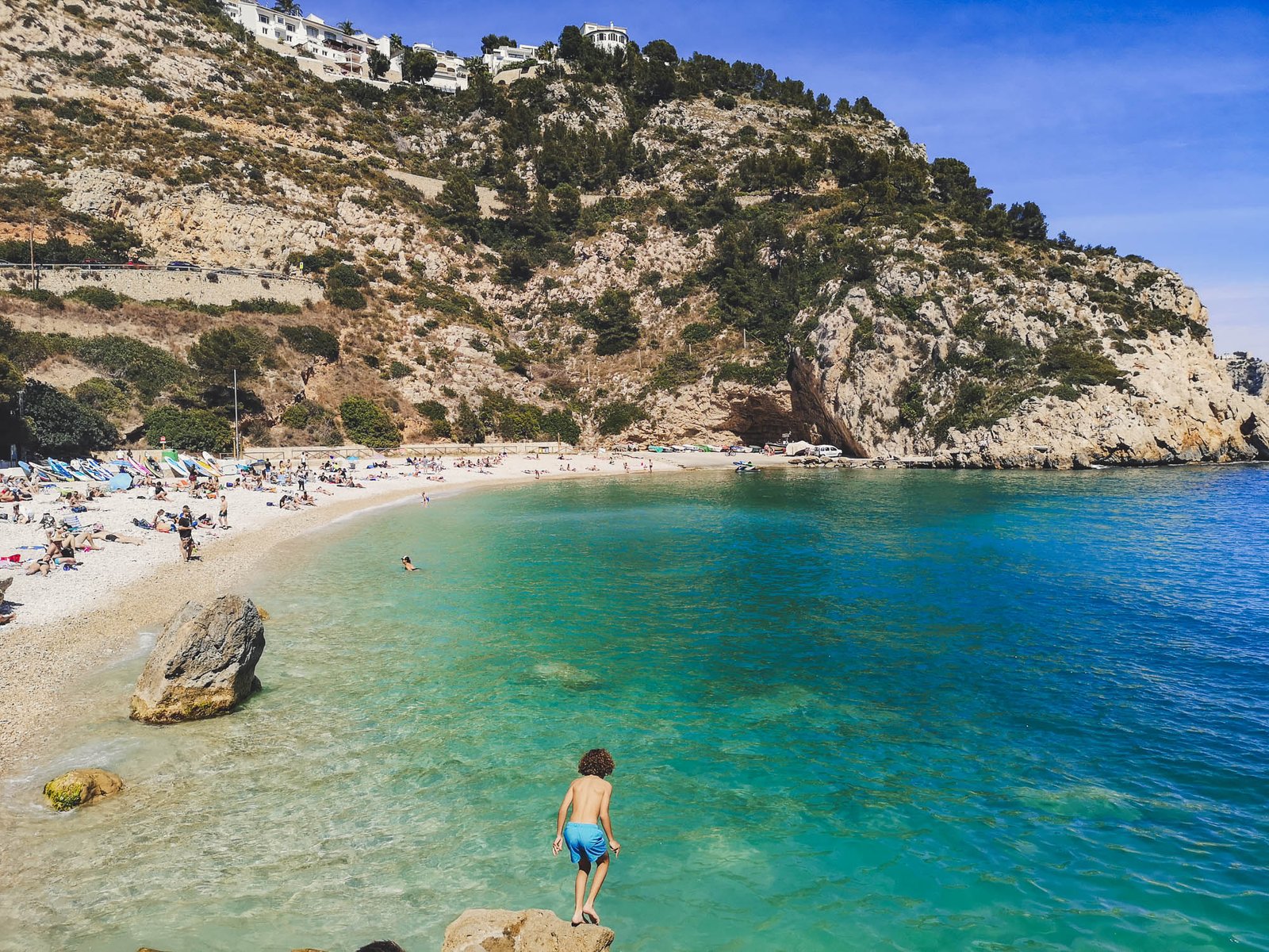
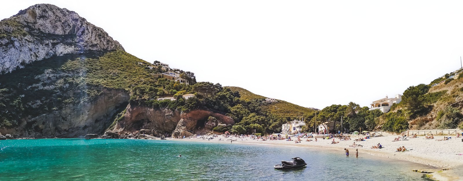
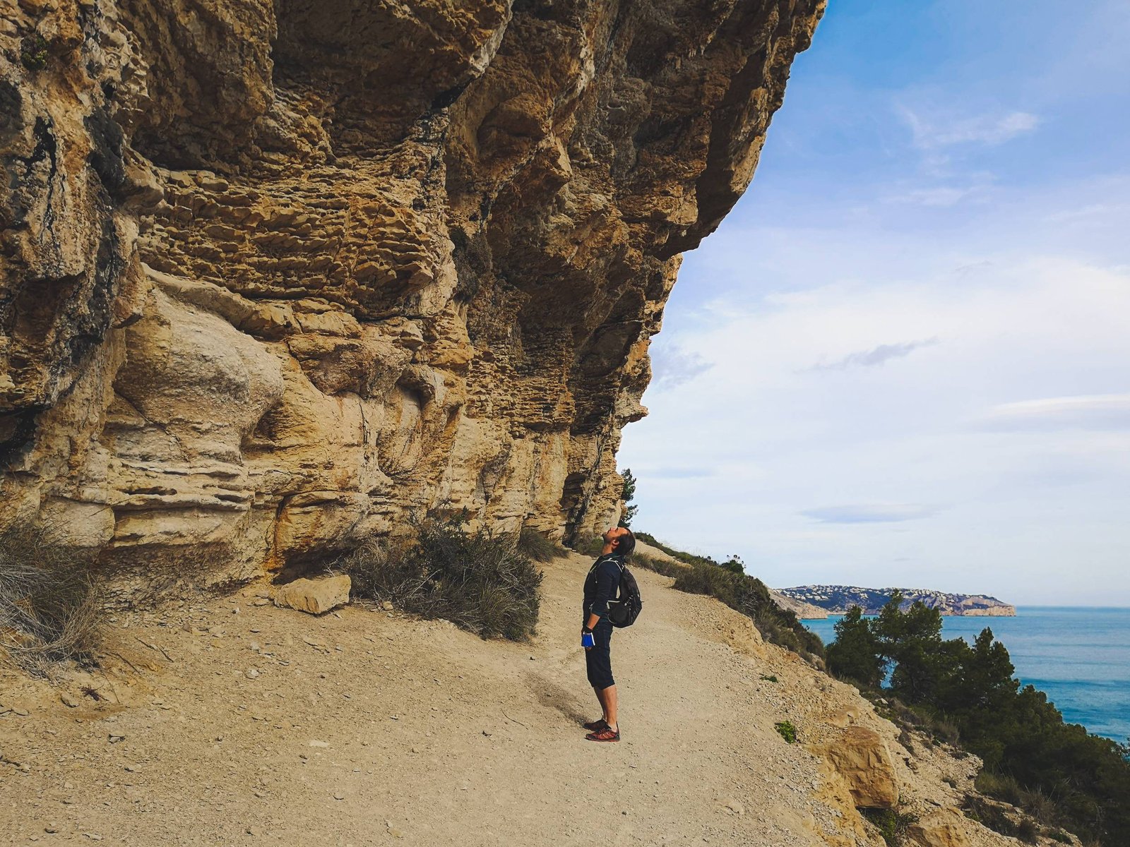
Los Acantilados hike is probably the most popular outdoor destination in the area for the high and exceptionally beautiful beaches: Cala del Moraig and Cala Llebeig. The first one is a very popular attraction on its own, offering very unique geological formations, and the latter one is a pristine remote fishing beach, straight out from a postcard. They are connected via the Los Acantilados hike, which a semi-easy walk amid very high cliffs. The route offers majestic views all the way. If you can deal with some steps, the heights, and the crowds, this could be easily the hike to pursue in Marina Alta.
Key features
- High cliffs
- Pristine beaches
- Caves
- Geological formations
- Hermit houses
Hike Details
- Location: Benitachell Cliffs
- Starting location: Moraig Cove
- Target location: Llebeig Beach
- Distance: ~2 km / 1.24 mi x2
- Ascend: 100 m / 328 ft
- Type: Linear
- Duration: ~0h50 x2
- Difficulty: Intermediate
- Color: Yellow
Though the official hiking trail of Los Acantilados goes past Cala Llebeig back upwards the mountain, there is no reasonable option to make it a circle route. I did not find it to be a major problem as the views are equally stunning in both directions. The hiking trail goes along the cliffs, somewhere in a midst of it. This gives an illusion of being somewhere remote in nature, though in reality the cliff is heavily urbanized just above your head. Along Los Acantilados you’ll find a few remote hermit houses, used to shelter animals by shepherds almost 100 years ago.
While the hiking trail between the two beaches is relatively short, it is not possible to quickly cruise through the whole route. Parts of the hike require extra attention due to the narrow passages by the steep cliffs. The final section of the hike gives breath-taking views of Cala Llebeig, but descending to the beach might be not for everybody. Climbing back up will literally going to take your breath away.
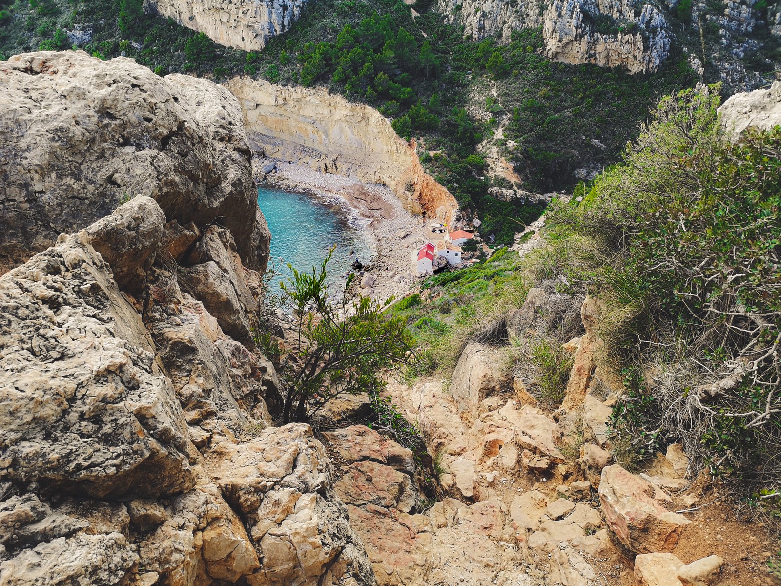
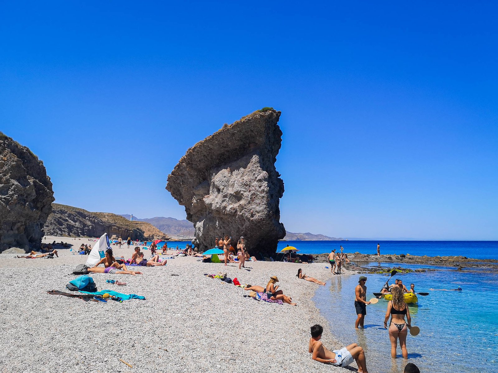
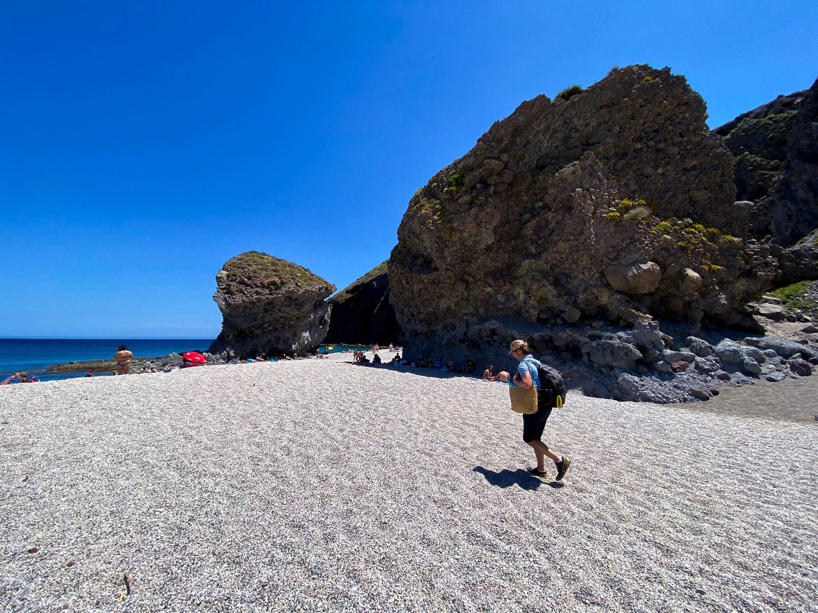
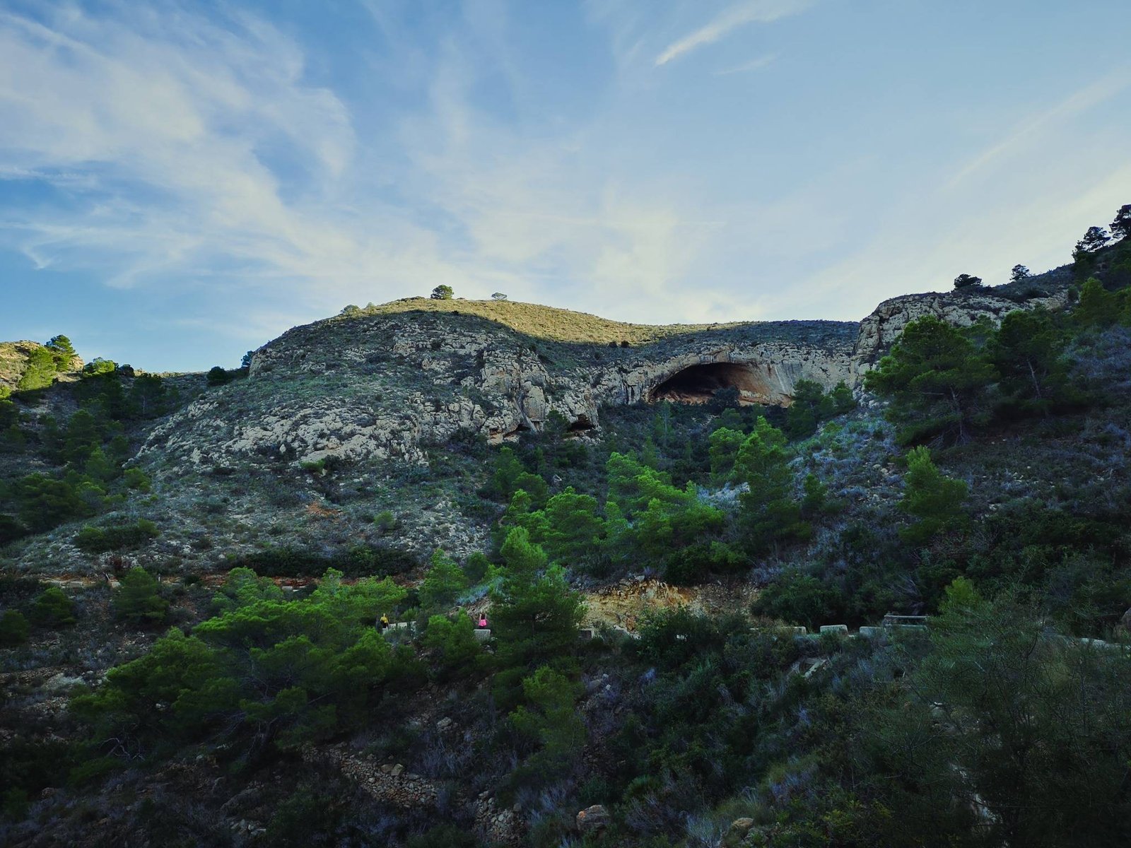
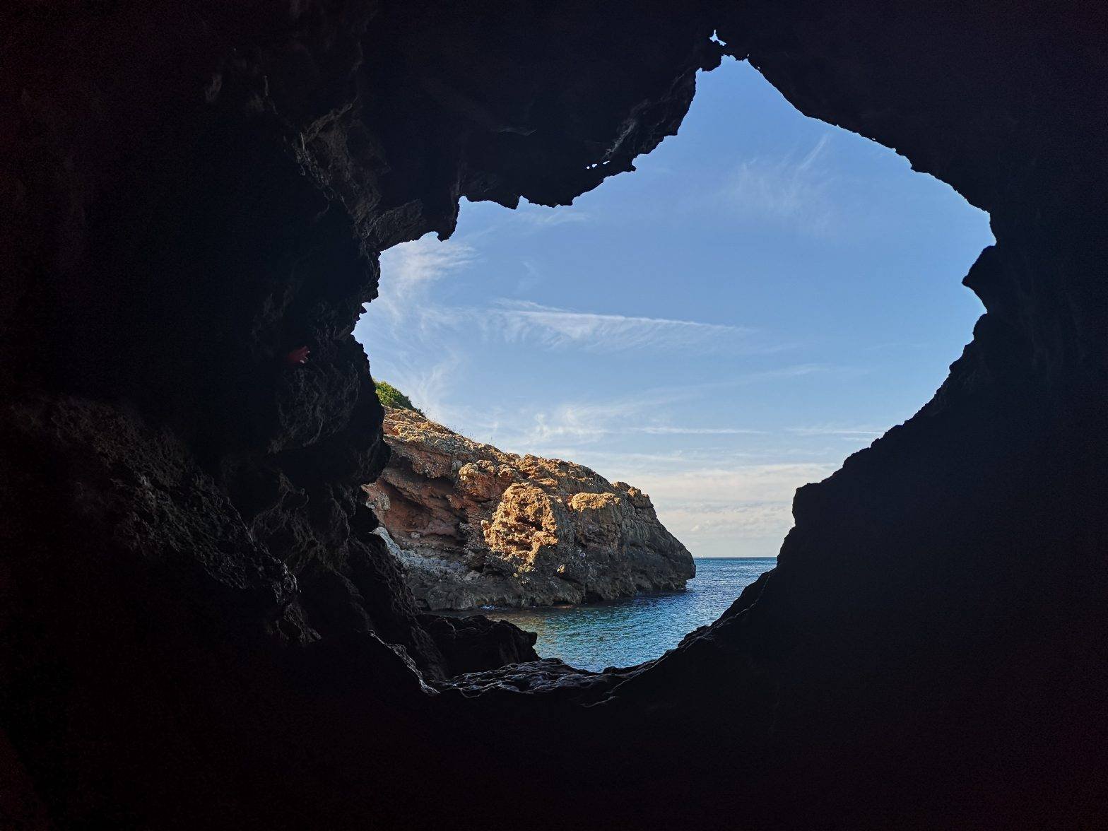
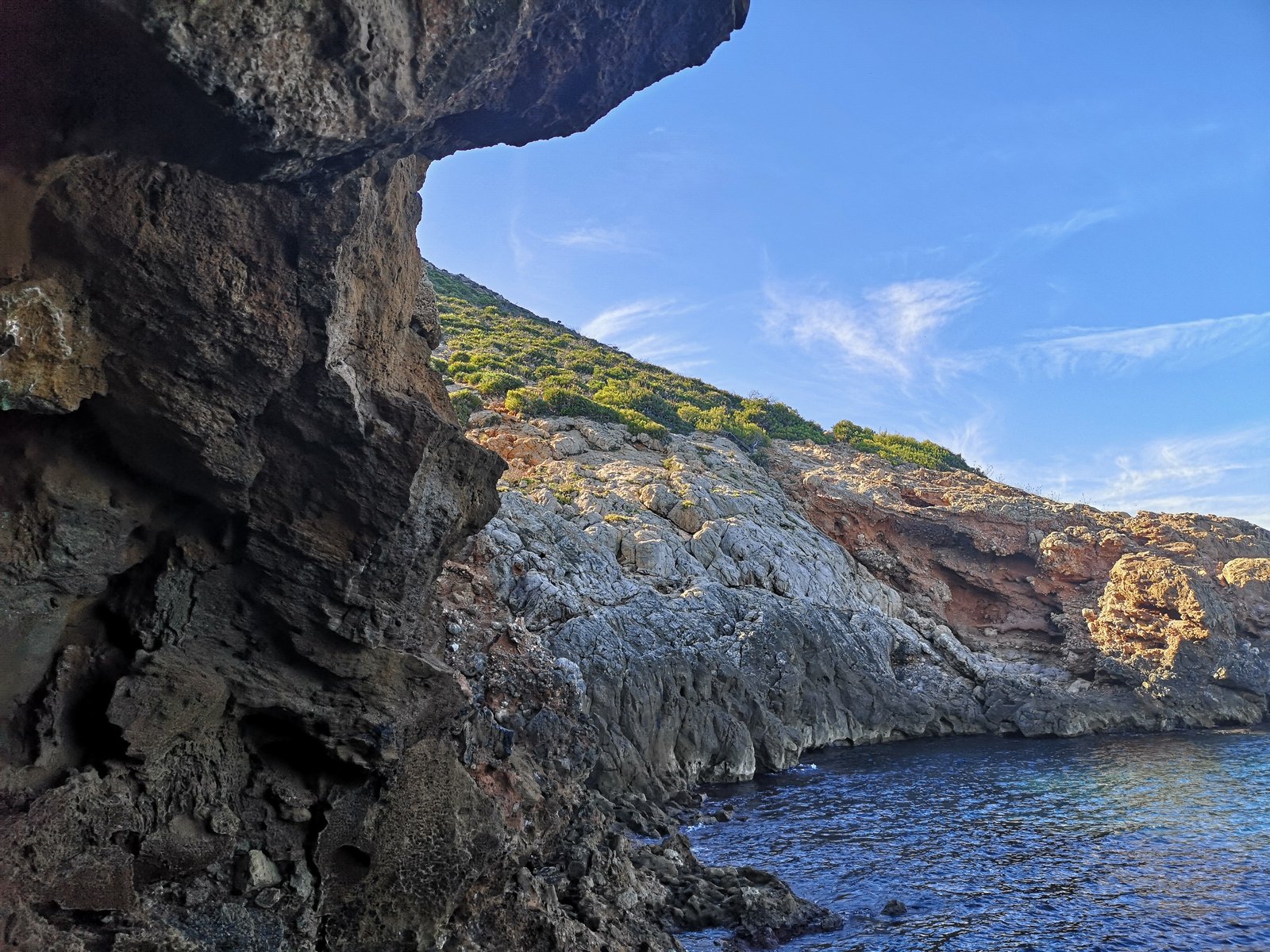
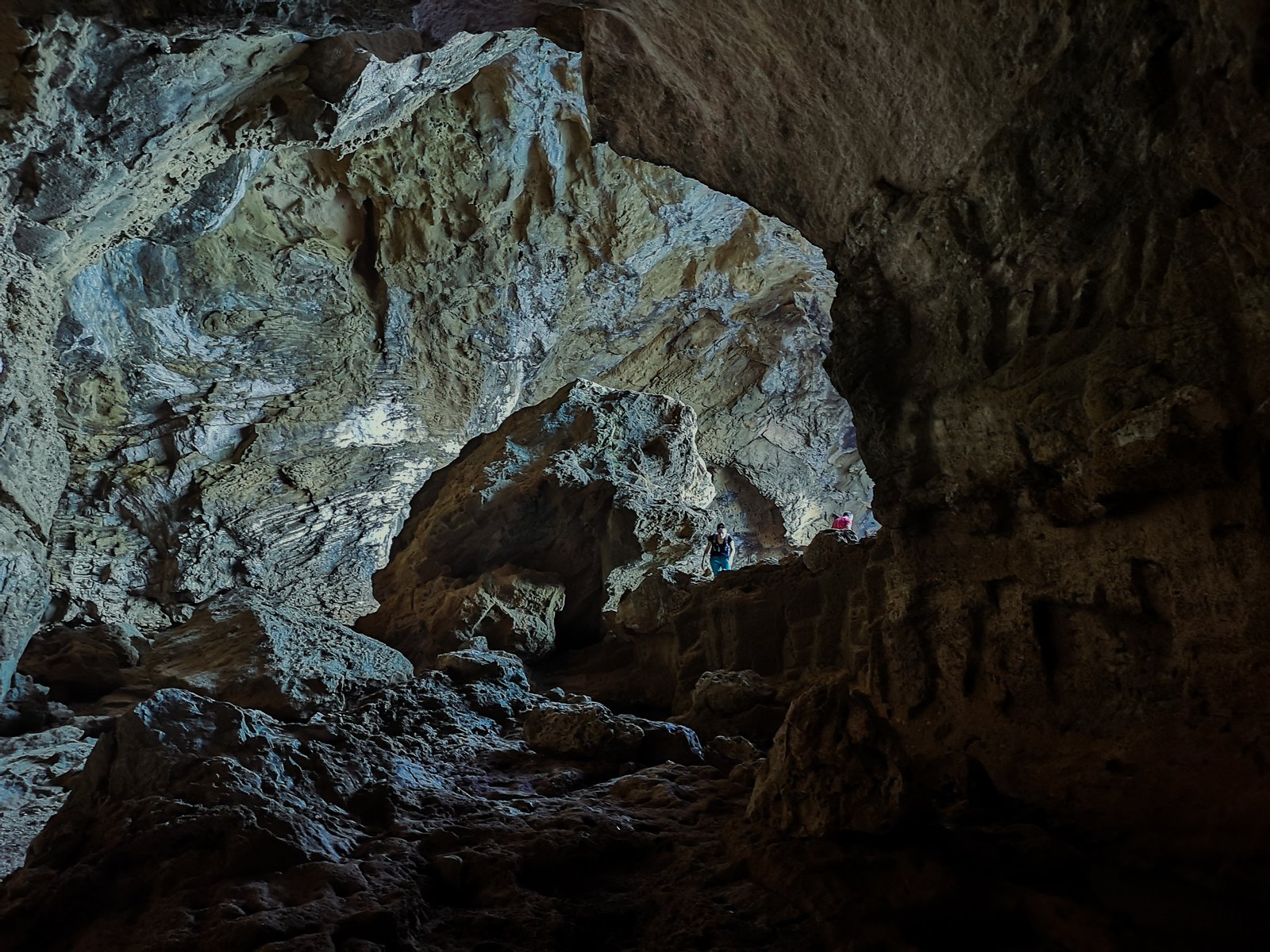
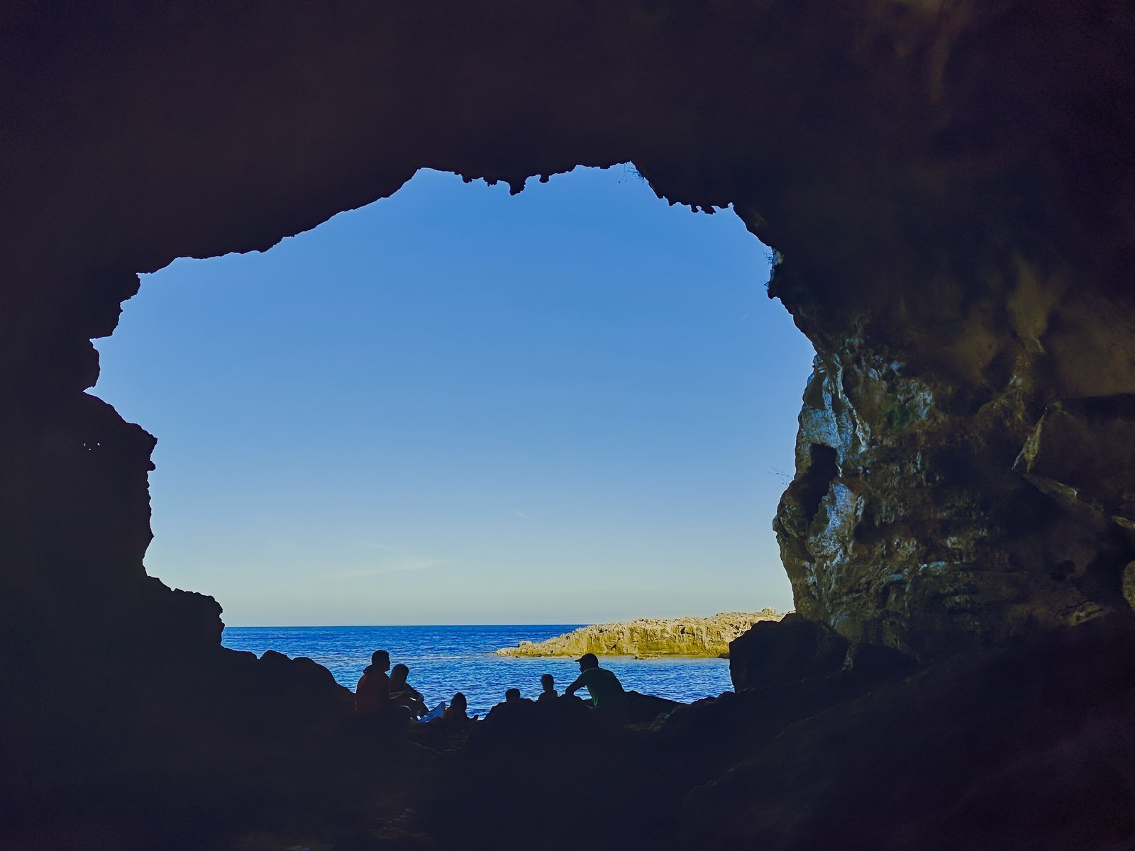
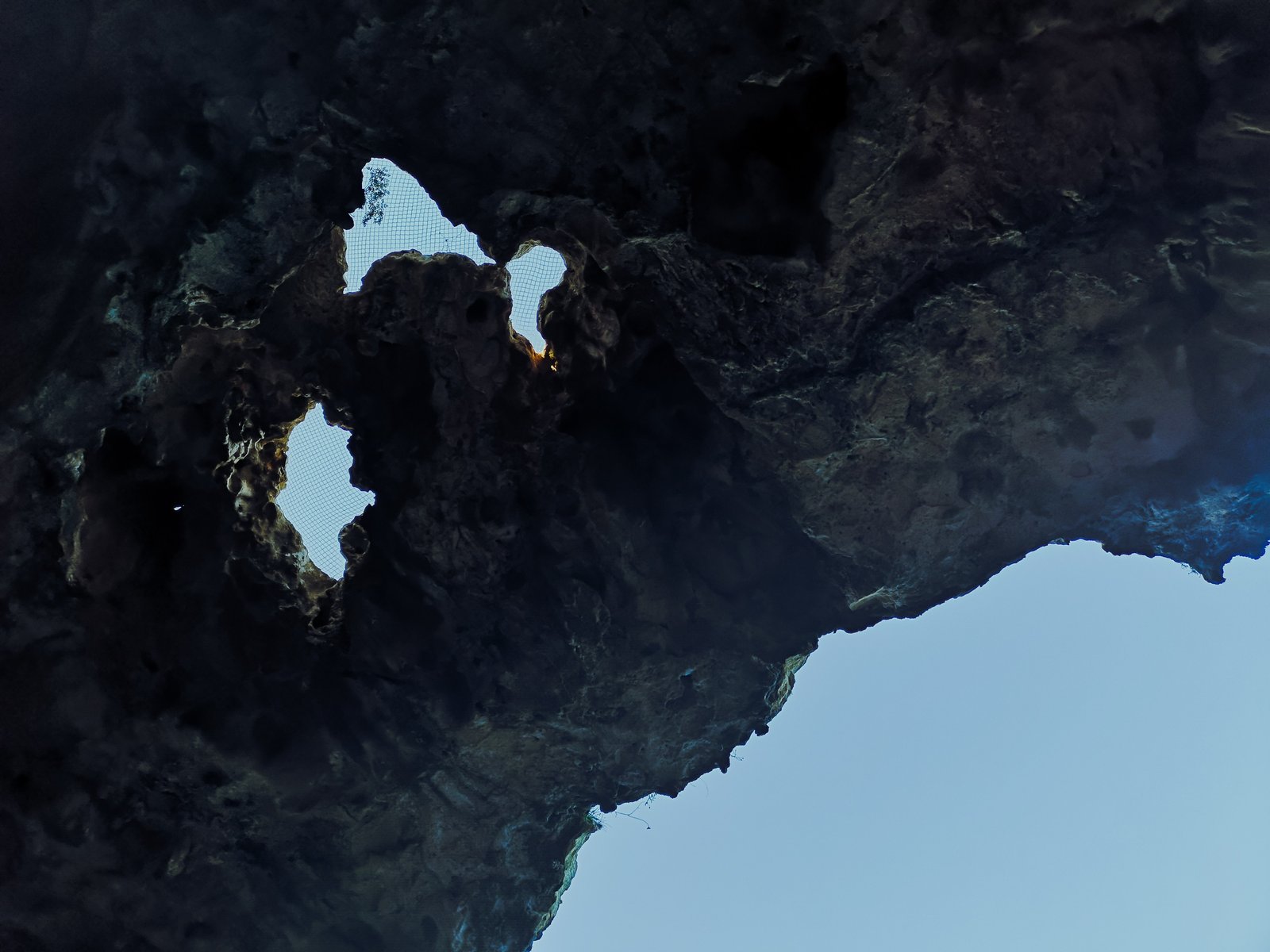
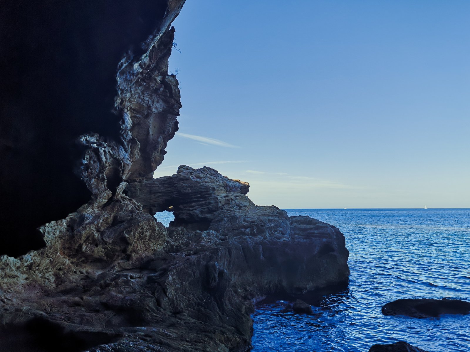
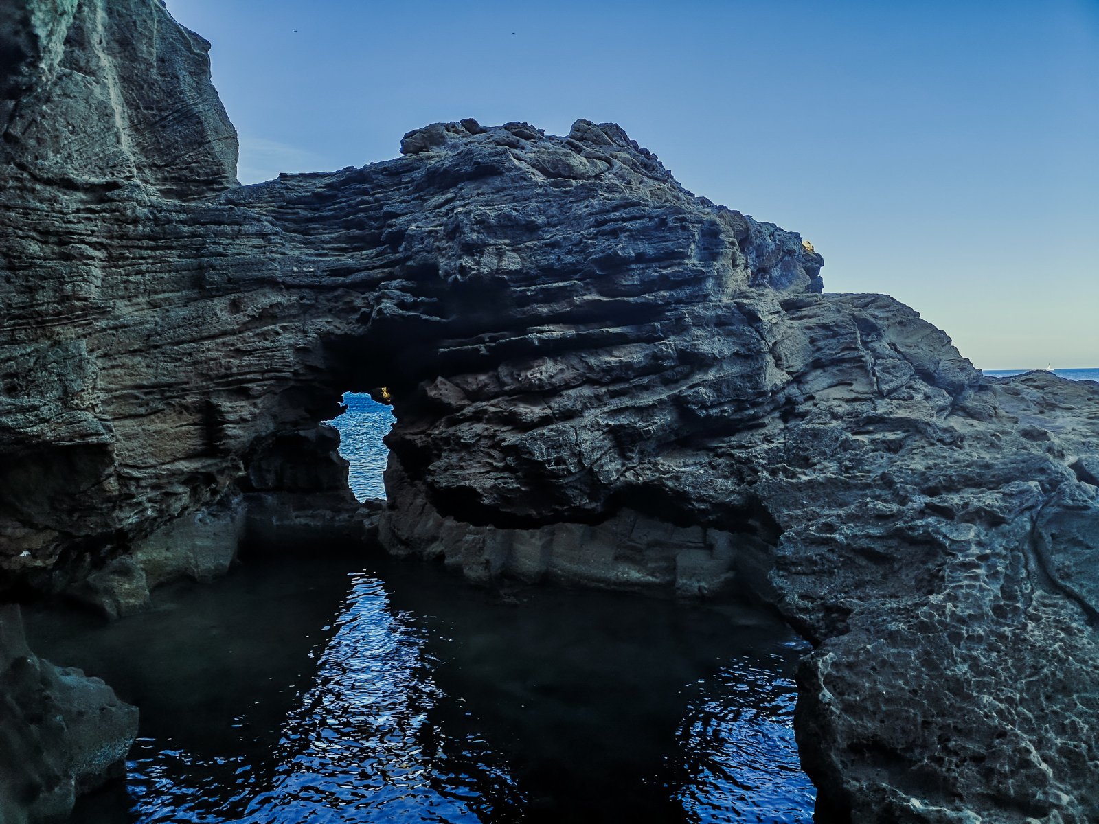
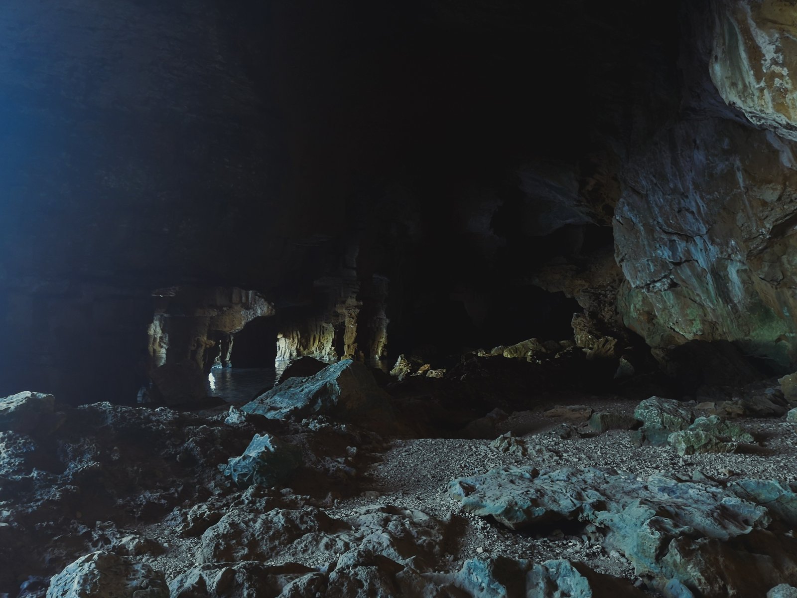
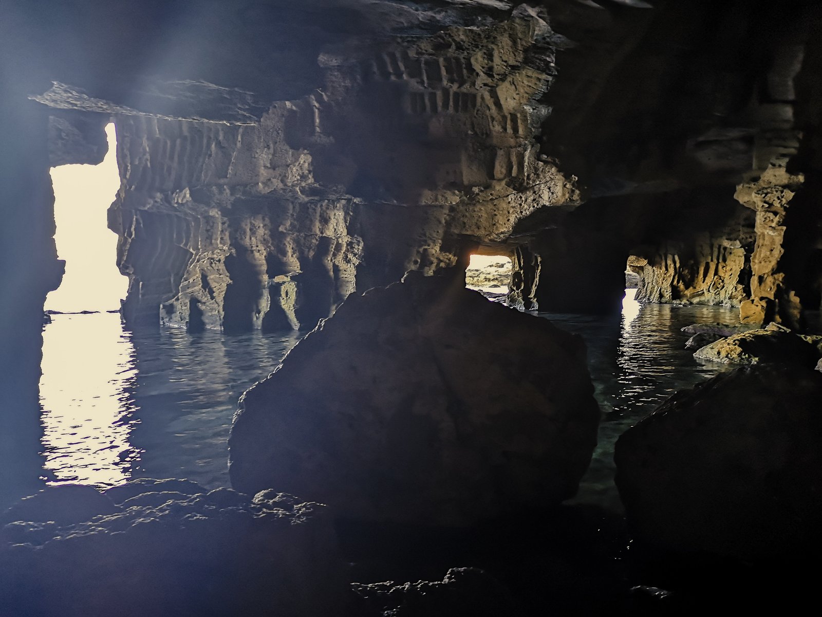
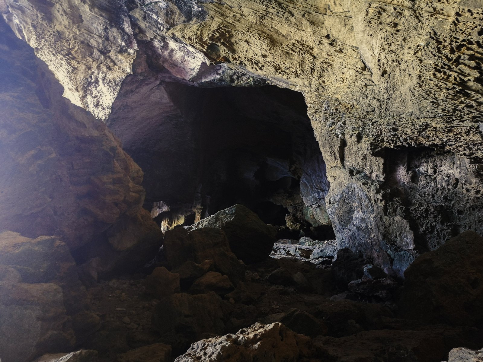
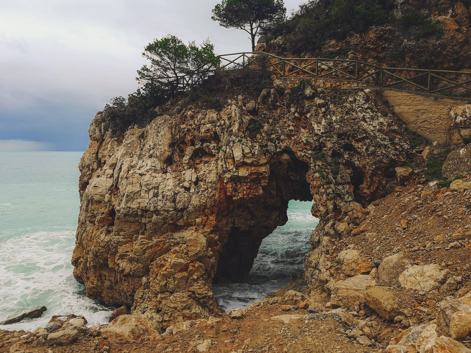
Cova dels Arcs
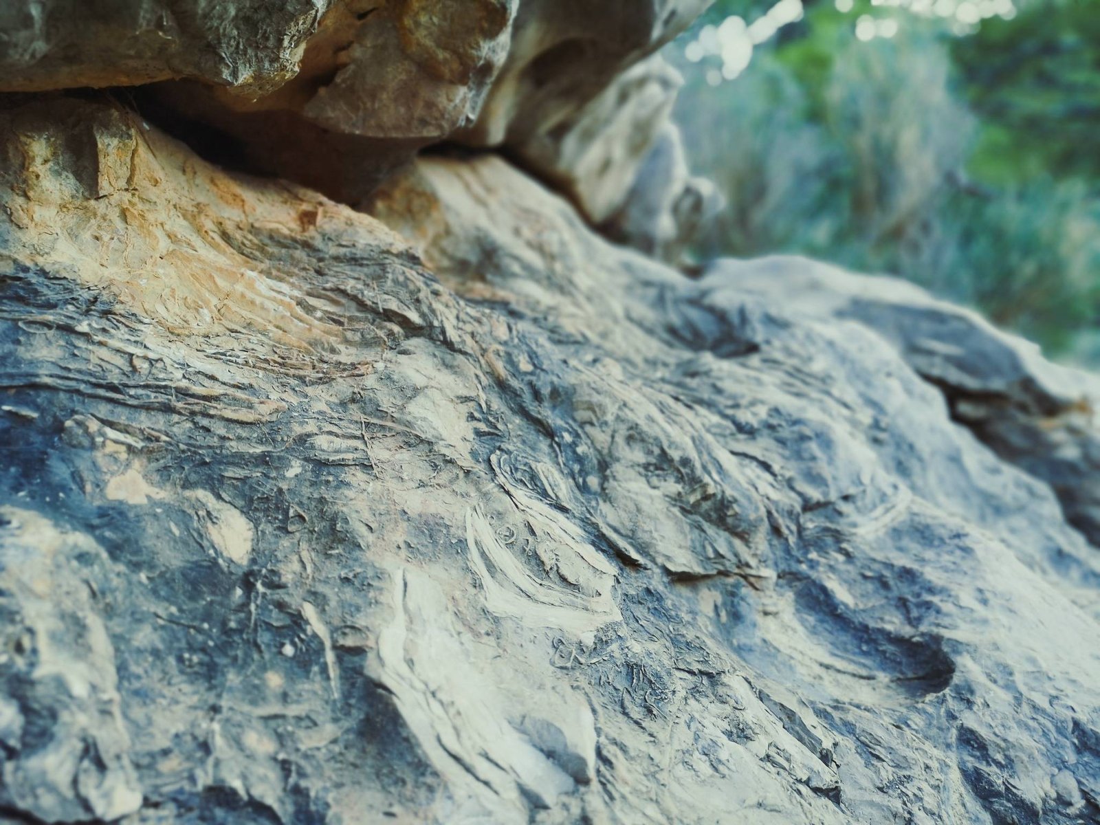
Los Acantilados might be the most sought hiking trail in Marina Alta, but it doesn’t define everything this gorgeous corner has to offer. At the edge of Cala dėl Moraig lies a beautiful cave – Cova dels Arcs. It has a few entrances forming a spider-like rock sculpture Cova dels Arcs is a perfect example of what happens when a continental karst system goes underwater. Today, this exceptional geological formation is a symbol of the Valencian coastline and challenges Los Acantilados for the top tourist destination in Benitachell.
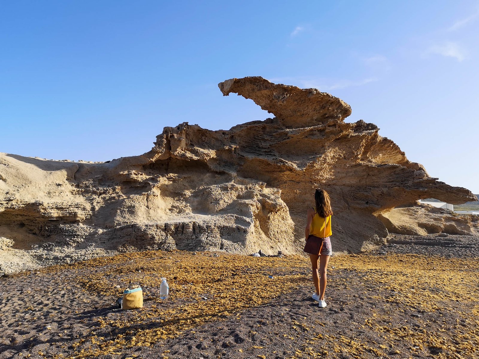
Falla del Moraig Walking Trail
Another interesting geological formation found right next to Cala del Moraig and Cova dels Arcs is Falla del Moraig. You can access it on a short 15-min walking trail (marked pink) right from Cala del Moraig. Many people mistake this hiking route with Los Acantilados, thus be sure to check the hiking map, I provided above.
Hike Details
- Location: Benitachell Cliffs
- Starting location: Moraig Cove
- Target location: Falla del Moraig
- Distance: 0.3 km / 0.19 mi x2
- Ascend: 15 m / 49 ft
- Type: Linear
- Duration: ~0h15 x2
- Difficulty: Easy
- Color: Pink
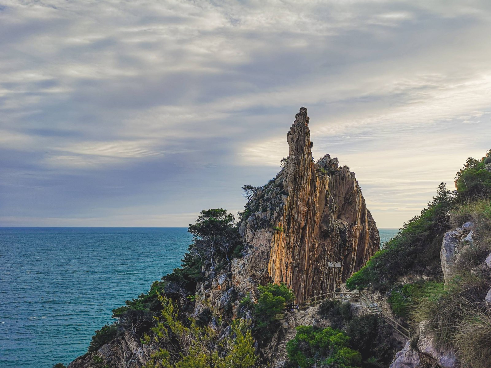
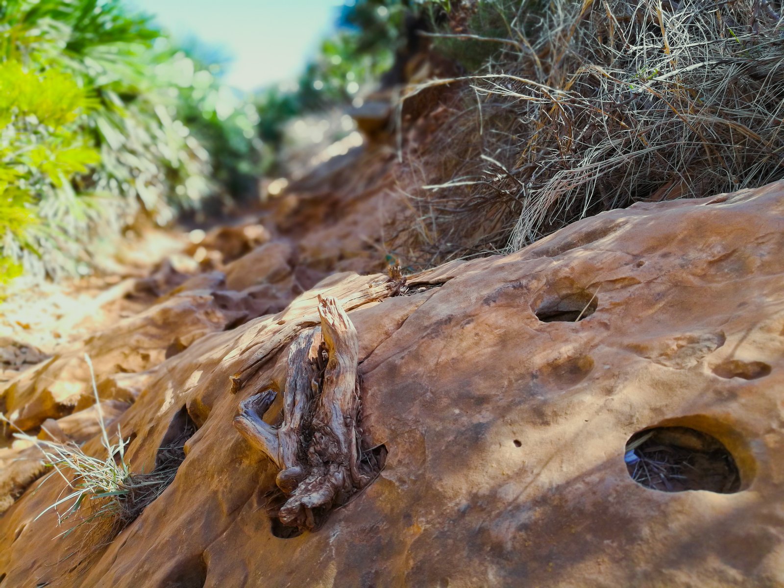
Though Falla del Moraig resembles a phallus, the word “falla” stands for a fault, because this geological formation is a good example of a normal fault line. This creative term describes a crack within the earth, where the upper block slides down relative to the block below. These kinds of slides are possible causation of earthquakes. The gap between geological blocks formed because waves of the Mediterranean eroded the lower part of the upper block and the rock have collapsed. It is possible to see the continuation of this fault line on the other side of Cala del Moraig.
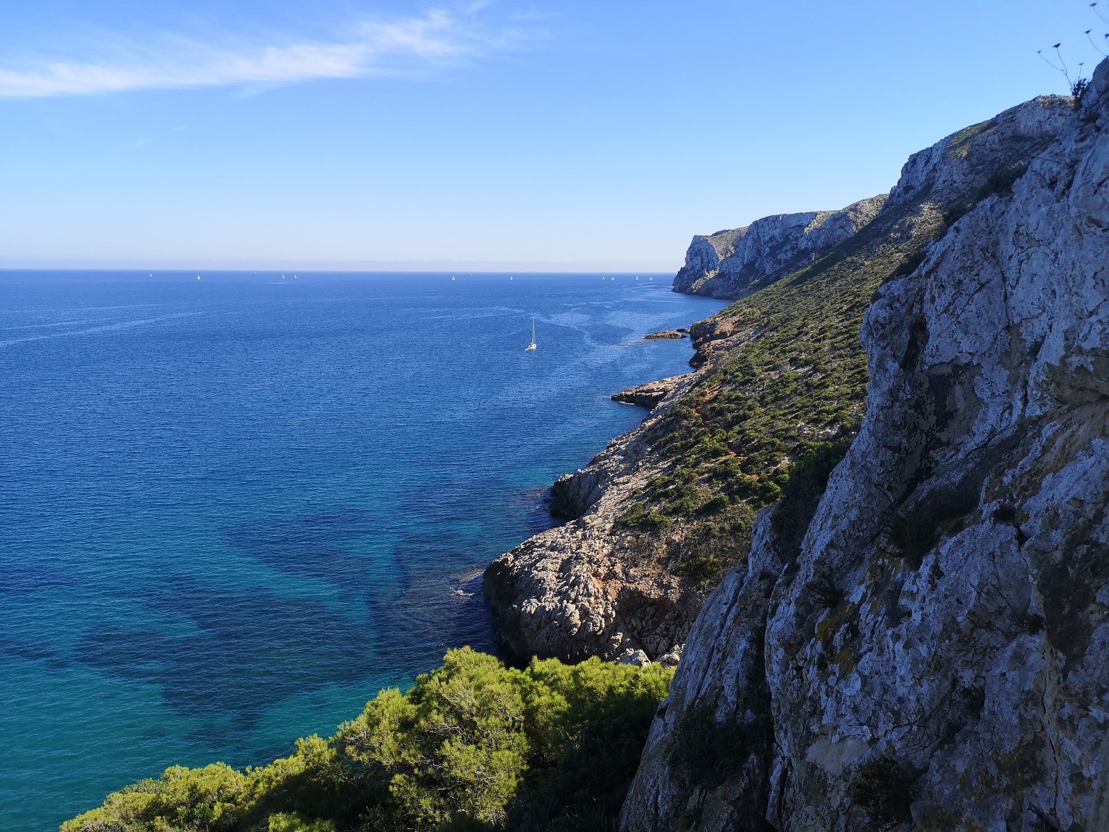
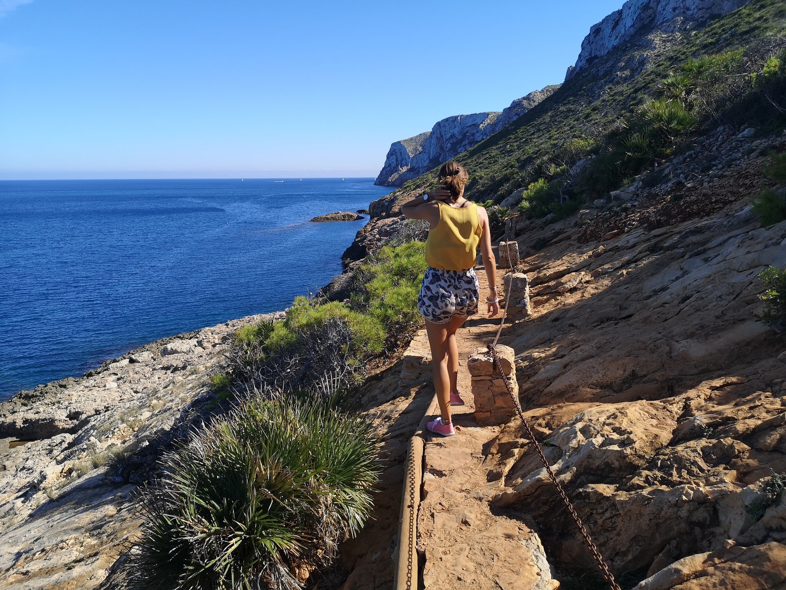
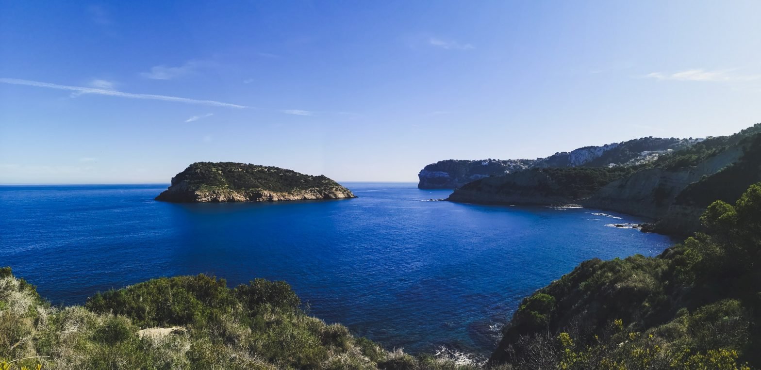
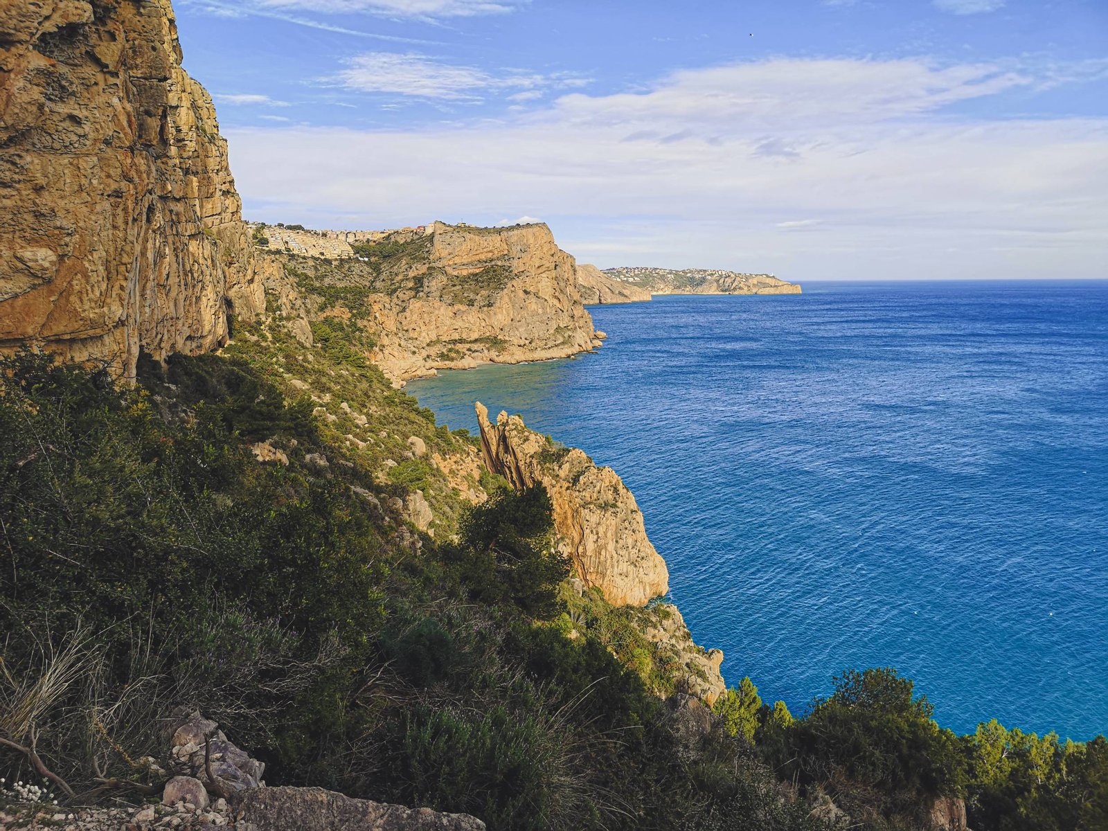
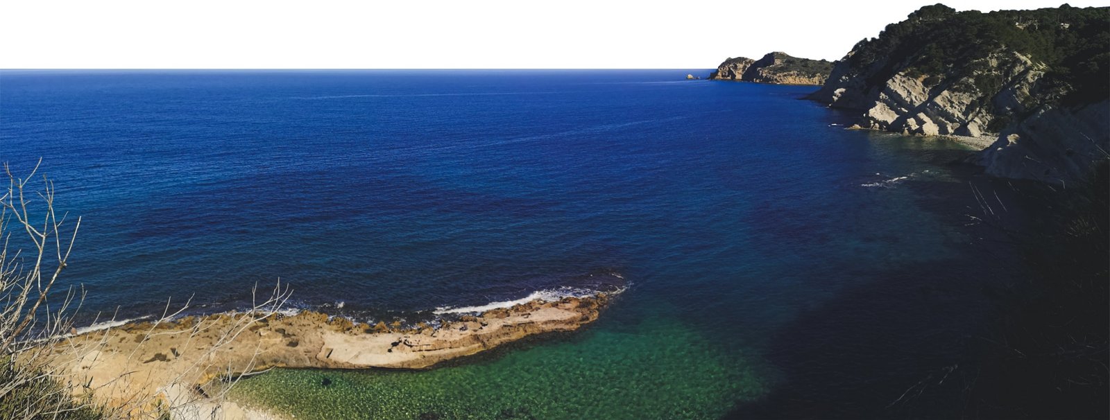
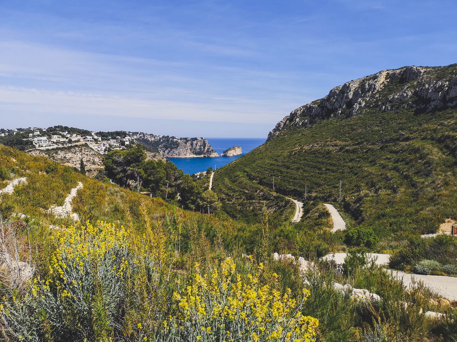
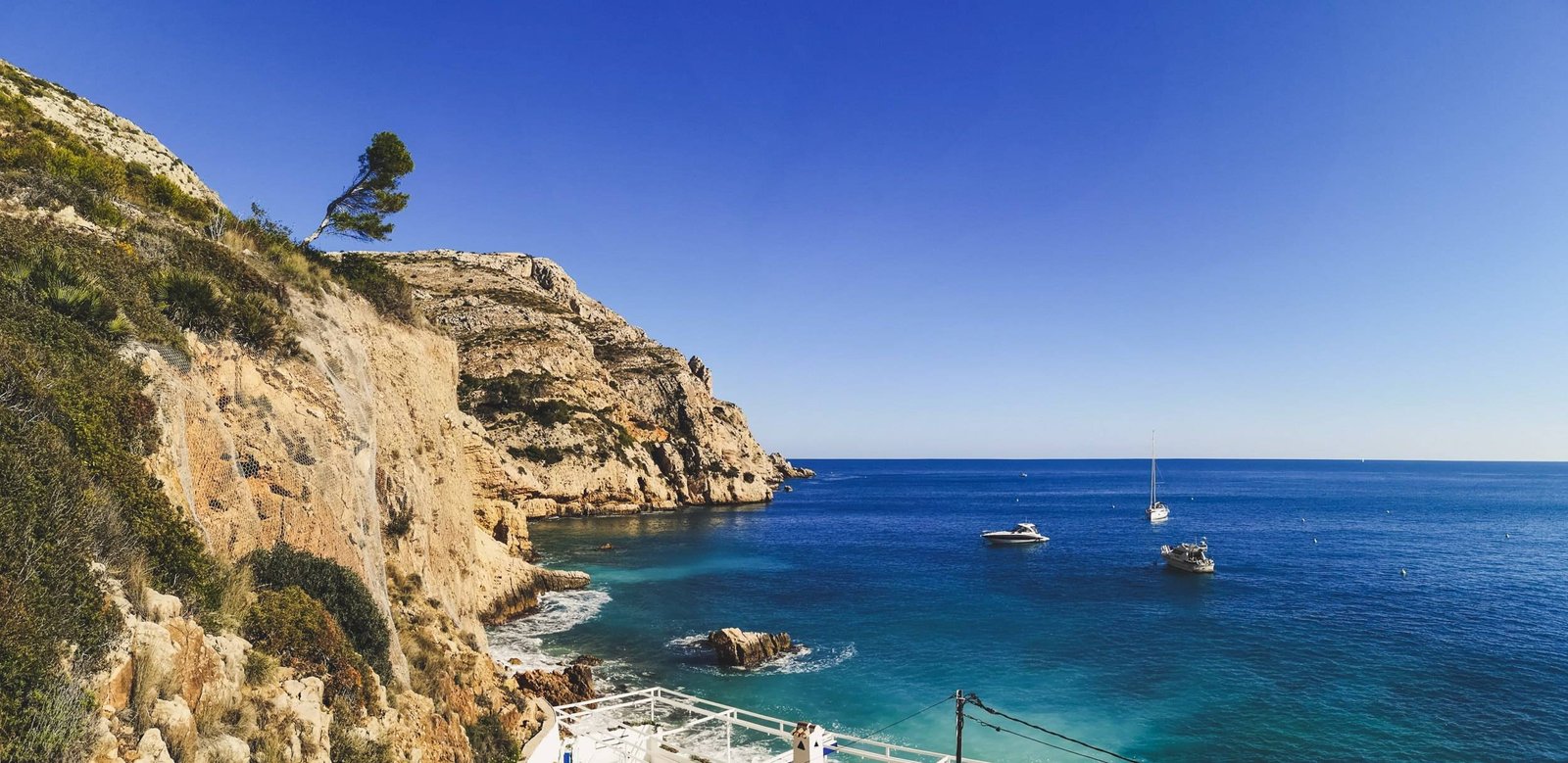
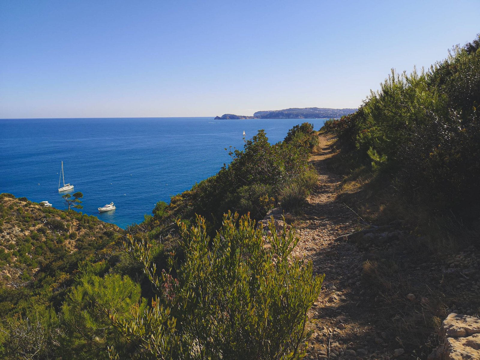
Cala Barraca – Cap Prim Hike
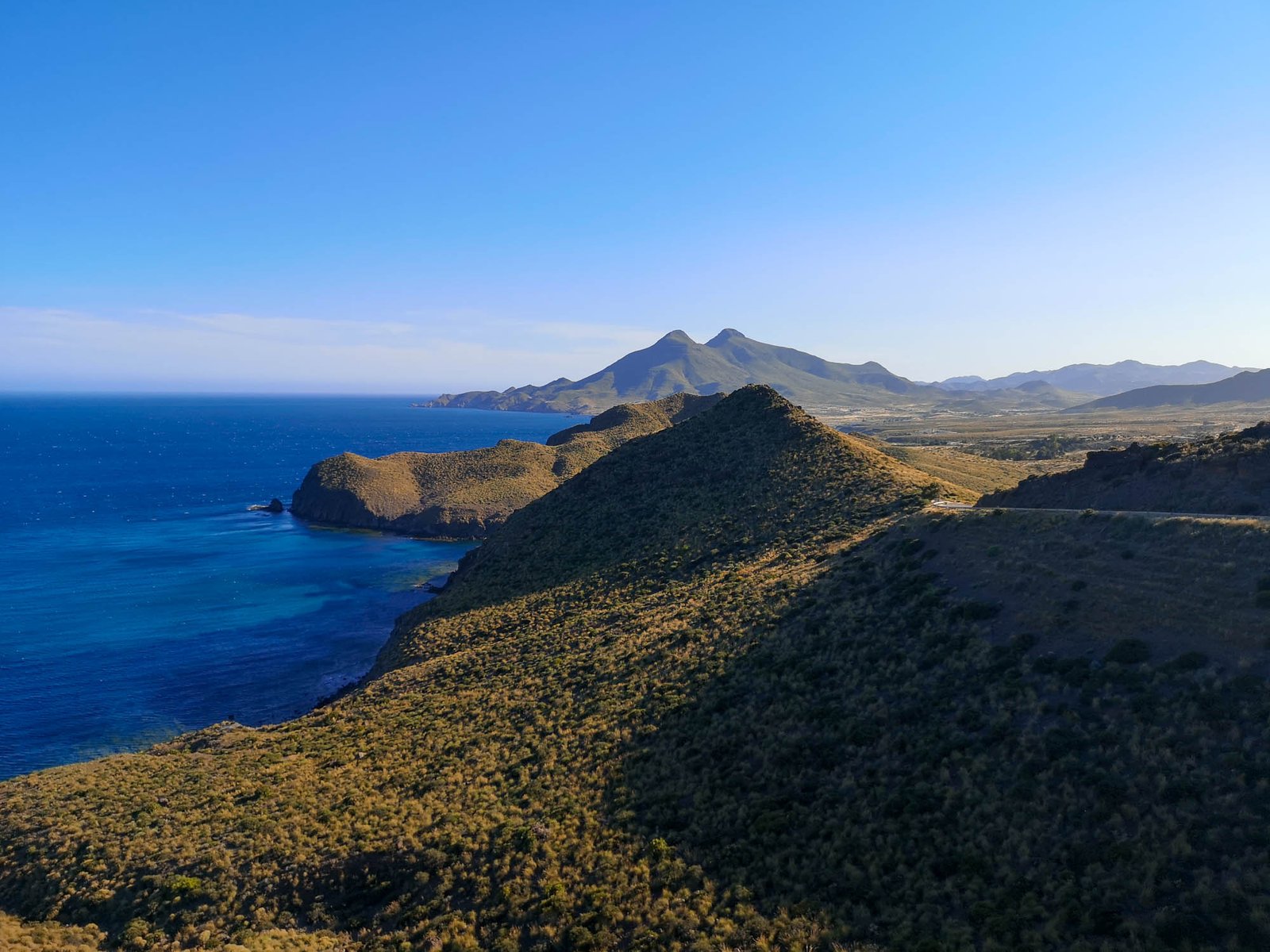
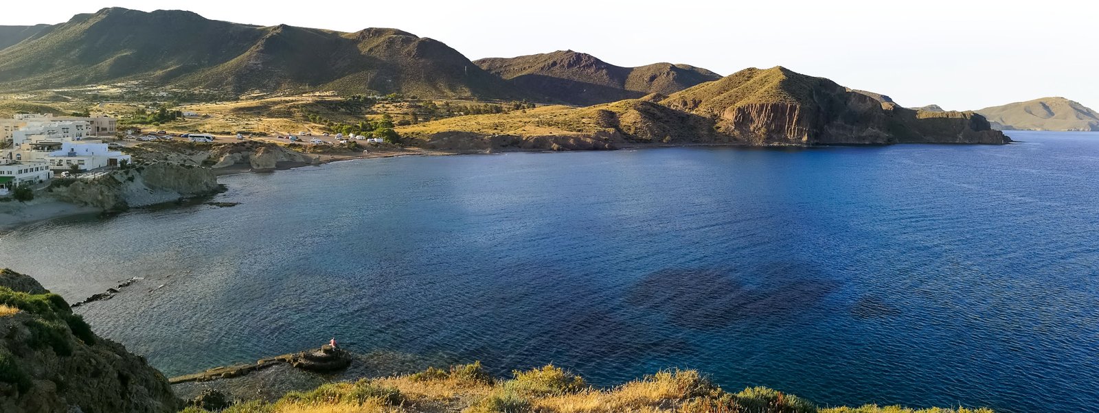
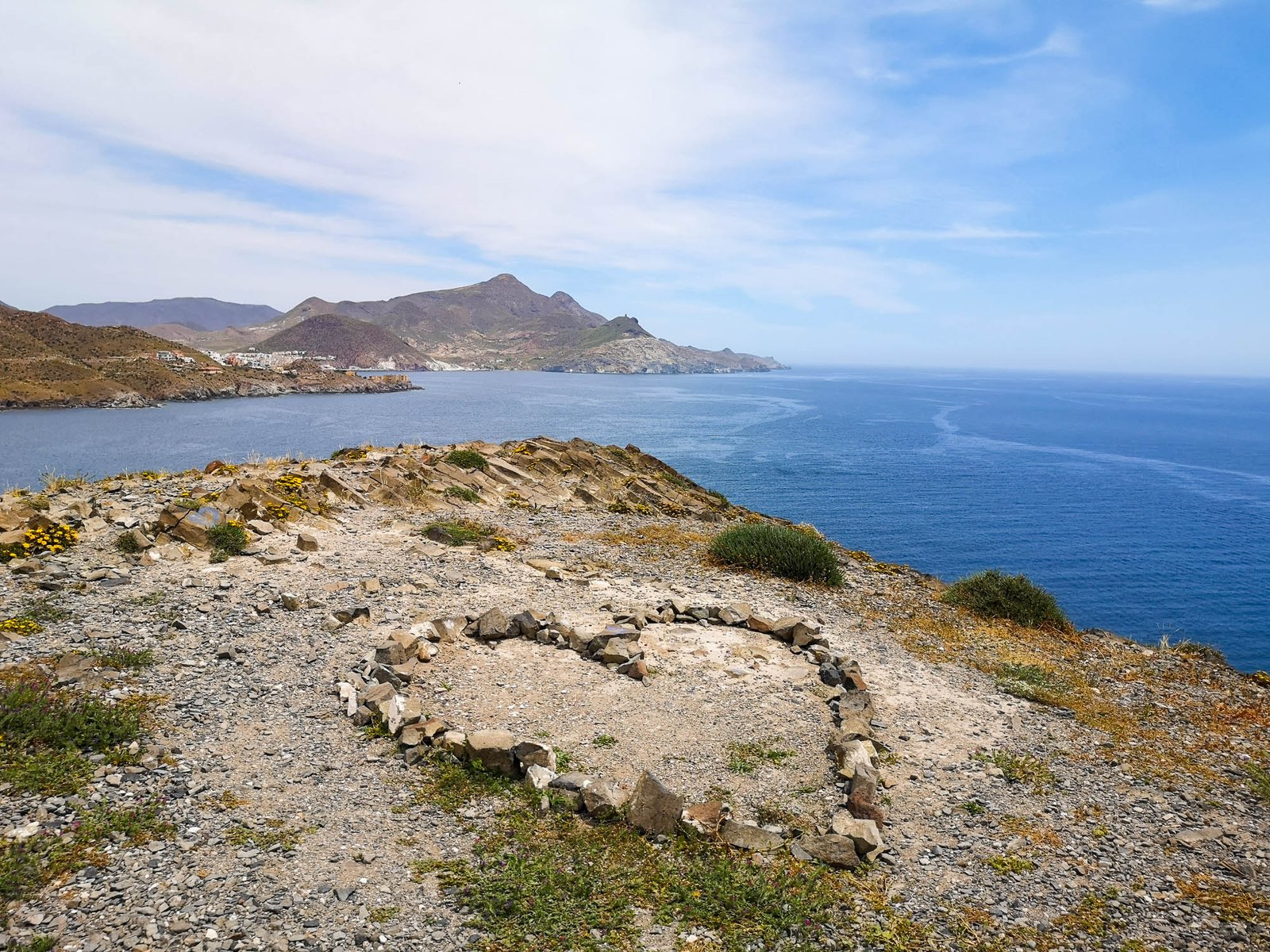
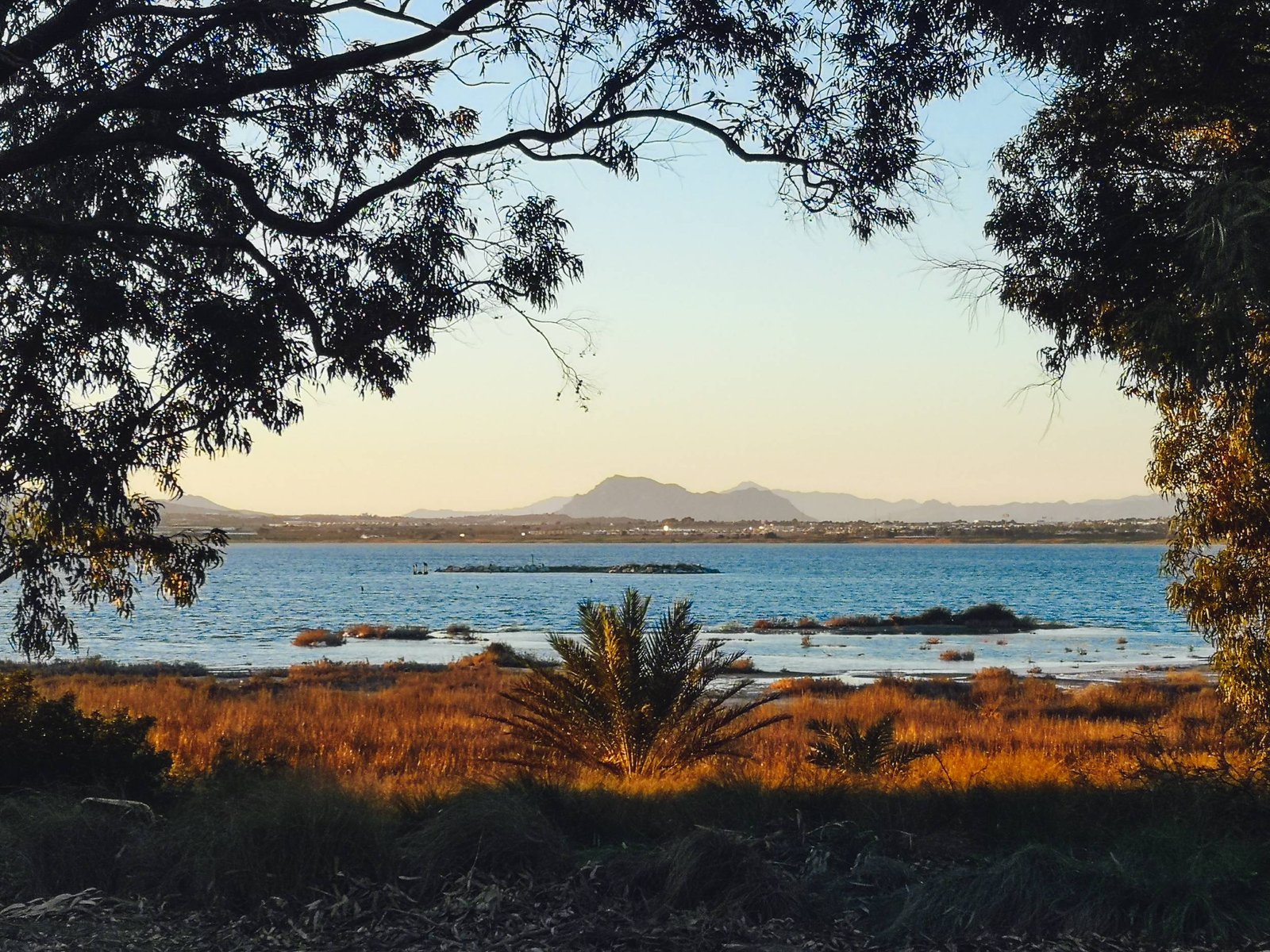
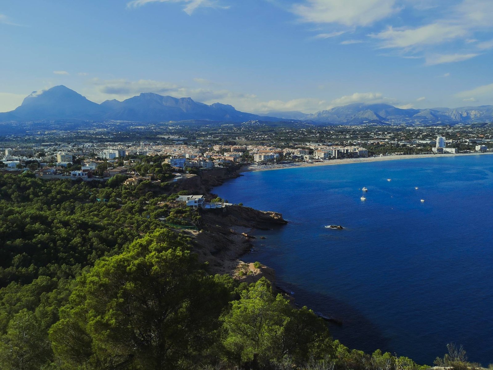
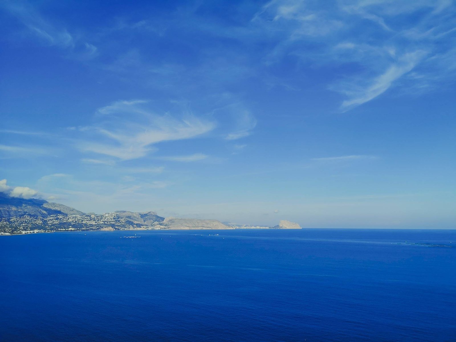
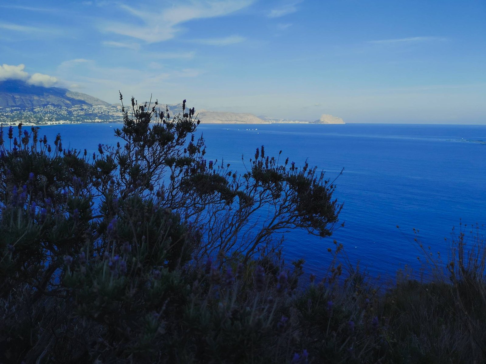
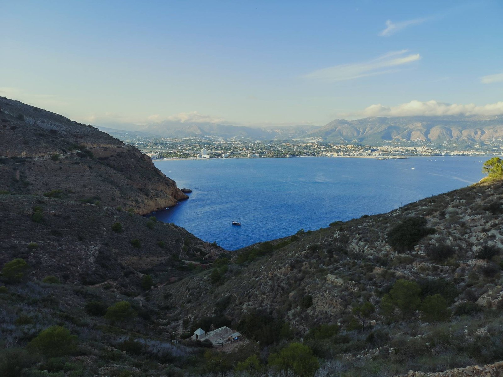
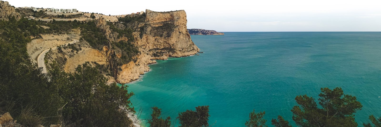
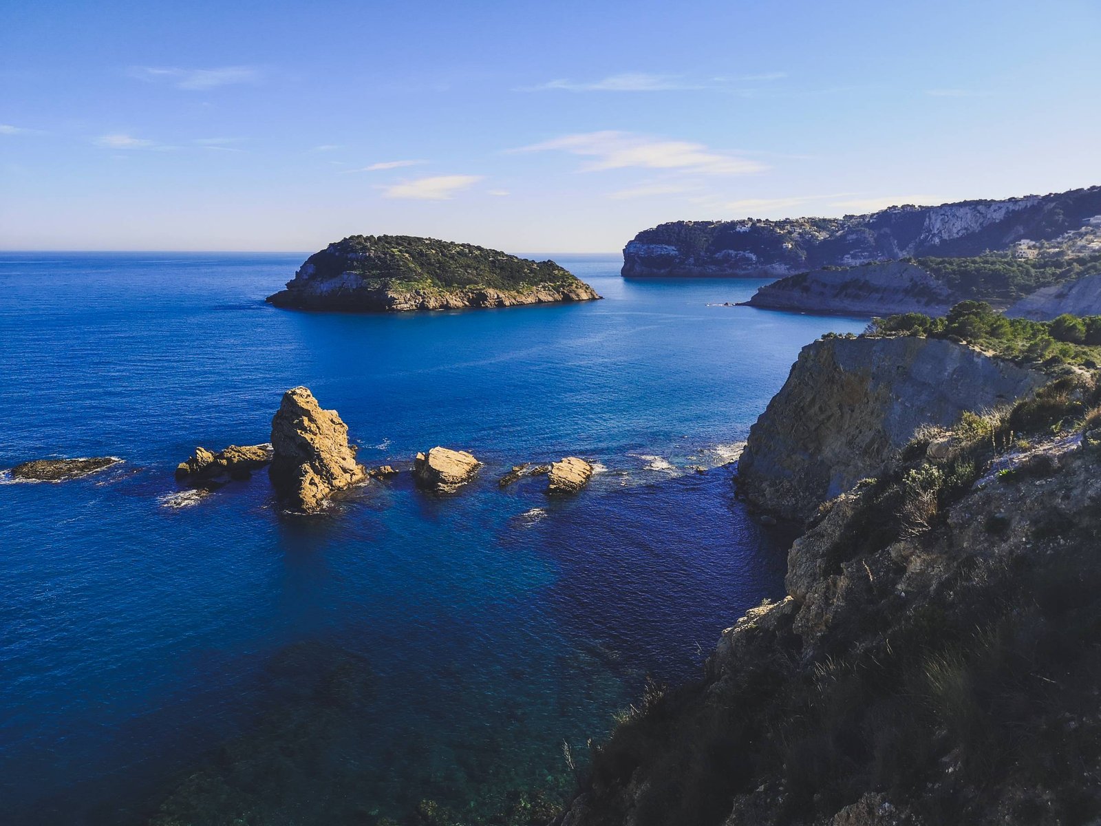
A hike to an exceptionally beautiful narrow piece of nature pressed to the very edge of high cliffs by countless fancy mansions. Cap Prim (eng. Prim Cape) is a very tip of a larger peninsula of mainland Spain – the closest point to the Balearic islands. That explains both the reason why it attracts so many rich people and the awe-inspiring views of a landscape, which is more similar to a south Asian than a European one. The people are not the only inhabitants of Cap Prim. Many bird species find this narrow piece of land as their home, which is still dwarfed by the colonies living on the Island of Portixol that dominates the scenery throughout most of the time during this wonderful hike.
Key features
- High cliffs
- Islands
- Pristine beaches
- Fancy estates
- Birdwatching
Hike Details
- Location: El Portitxol
- Starting location: Cala Barraca
- Target location: Cap Prim
- Distance: 3.67 km / 2.28 mi x2
- Ascend: Flat (~80 m / 260 ft)
- Type: Linear
- Duration: ~1h45 x2
- Difficulty: Easy
- Color: Green
The Cap Prim is a real paradise on the edge of the Betic Mountains, whose high cliffs dip into the Mediterranean. The close encounter of mountains and sea sculpted out this majestic landscape throughout the endless years and today – to put it bluntly – it is absolutely stunning. Cap Prim is a true hidden secret as there not much information on the Internet but once you are in the area, something naturally draws you there. As my experience has shown me, this is that kind of hike, which literally sucks you in. A real step-turner, if you pardon the pun. It doesn’t matter, where you’d start the route, you’ll end up in Cap Prim.
Though accidentally I walked to Cap Prim from Cala Blanca (3.94 km / 2.45 mi), I intended and recommend doing so via the official route. You could either start at Cala Barraca (3.67 km / 2.28 mi) or Creu de Portixol (2.14 km / 1.33 mi). Though have in mind that the latter one has very limited parking options, and getting to Cala Barraca might be not an option for less experienced drivers. If you have time, hiking from Cala Blanca is still a very viable option.
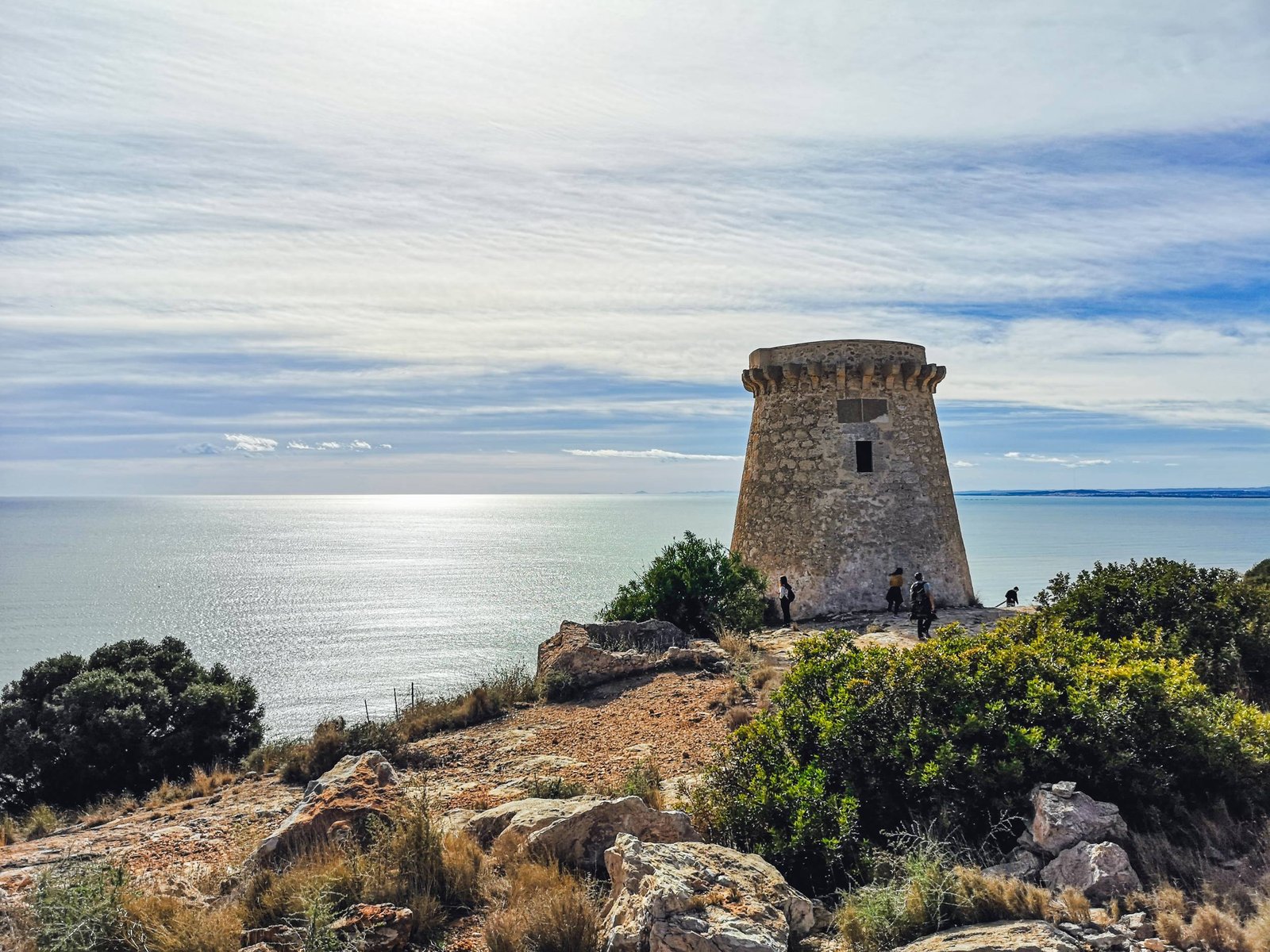
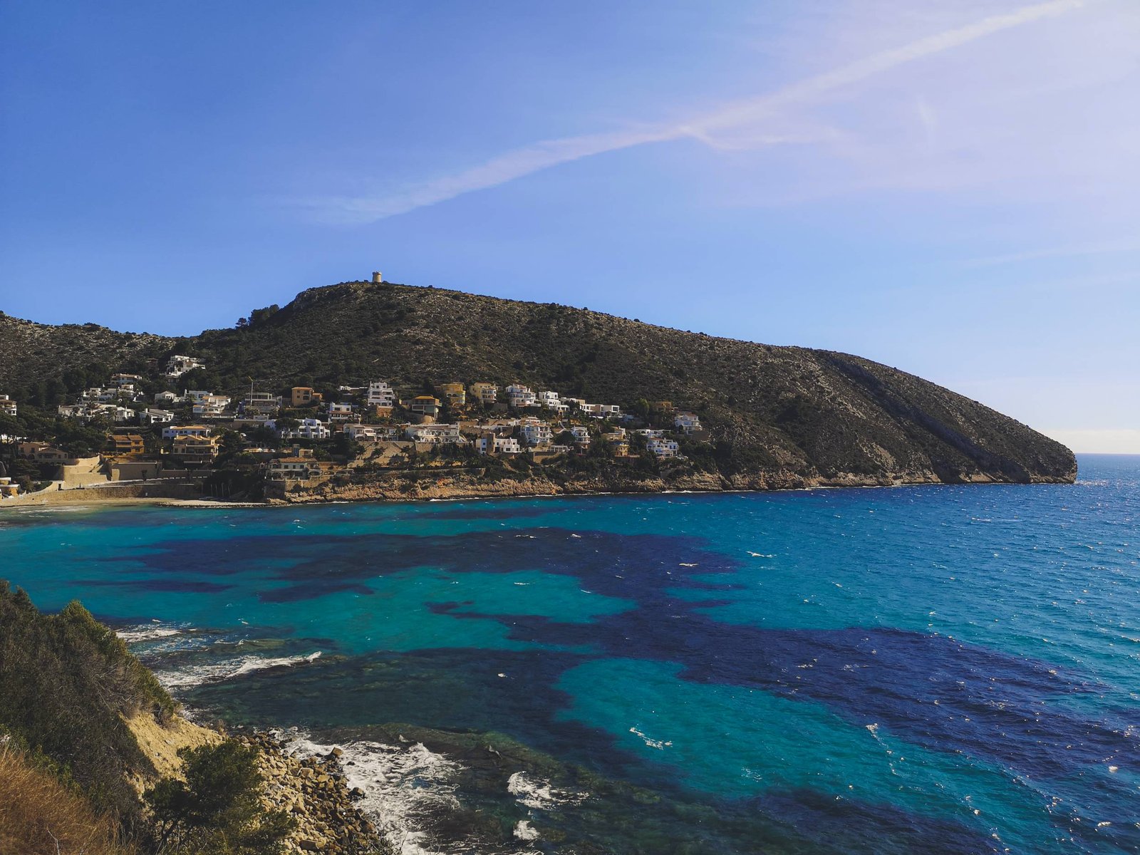
Torre de Vigia Walking Trail (El Portet Beach – Cap d’Or)
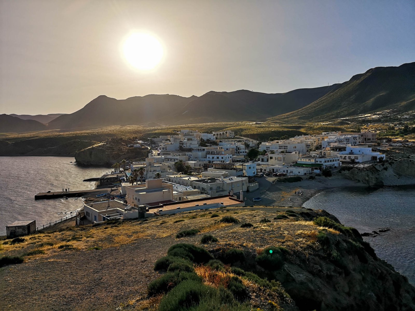
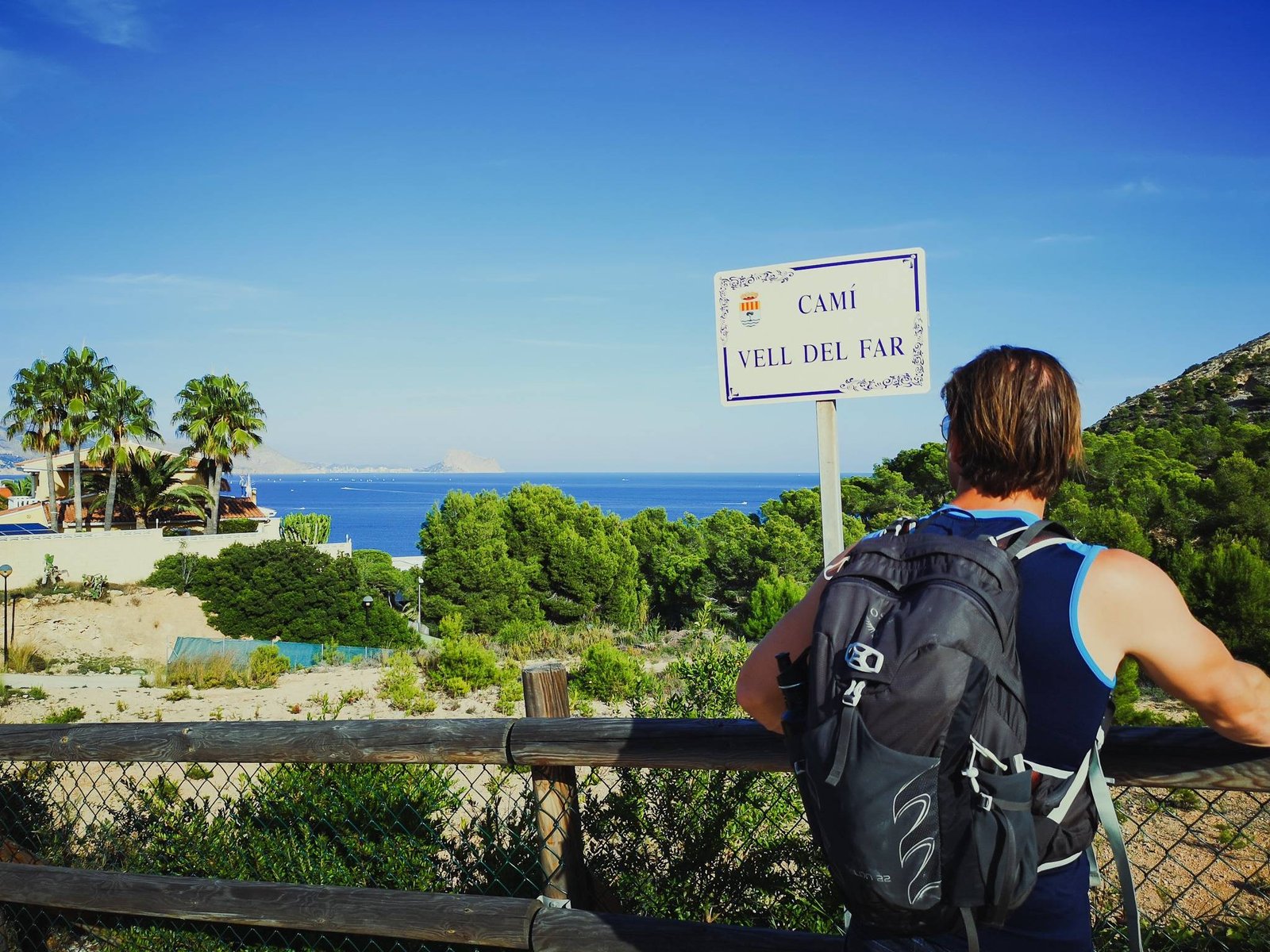
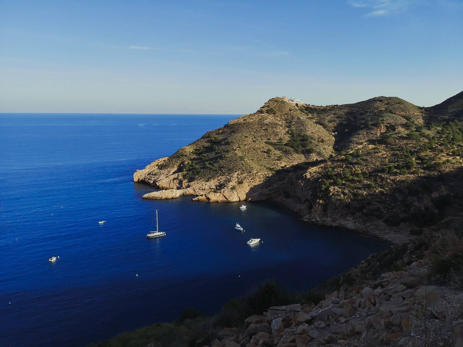
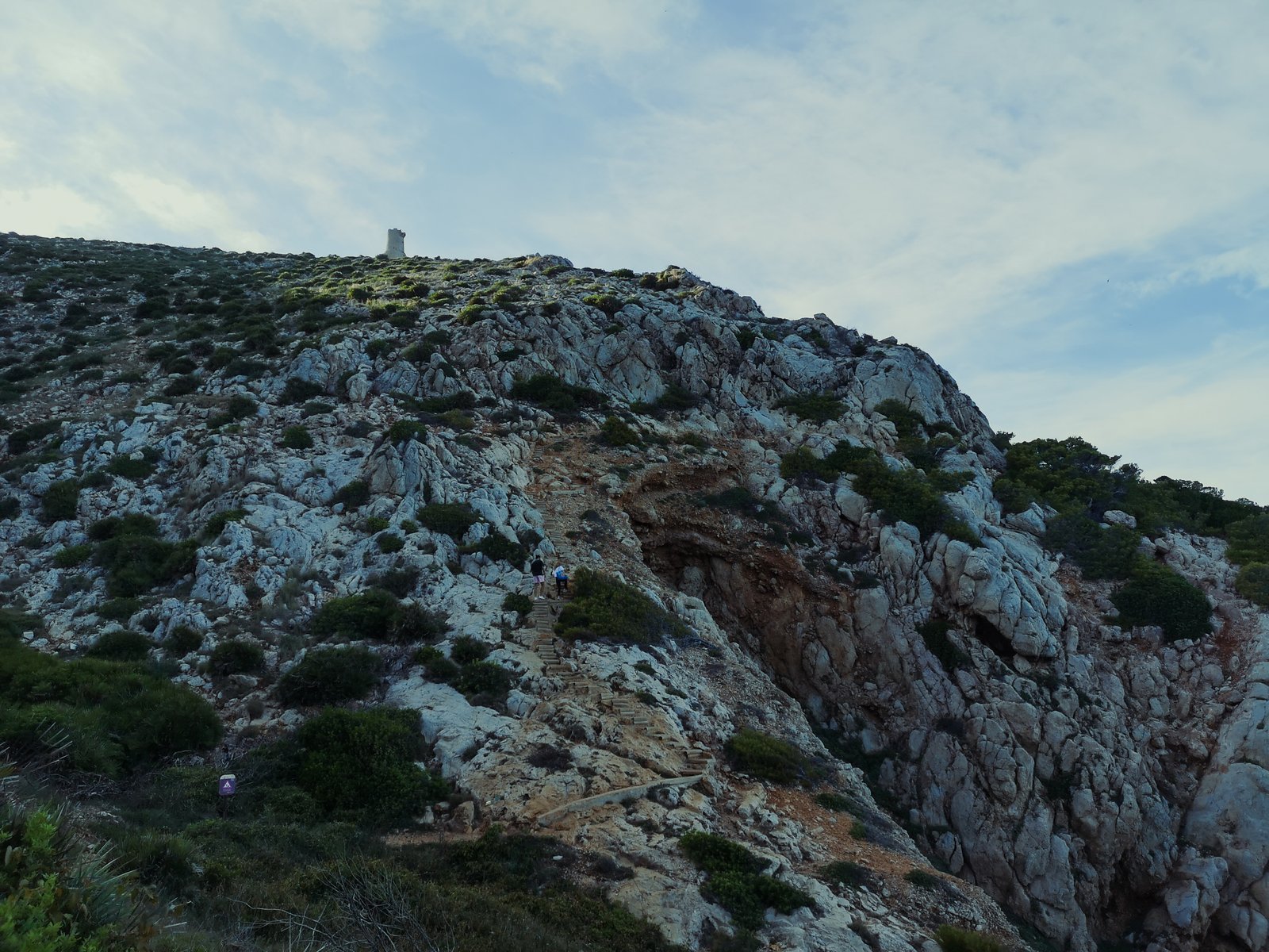
The climb up to the watchtower of Cap d’Or (eng. d’Or Cape) is an hour-long hike, beginning at El Portet Beach in Moraira, which is an outstanding travel destination on its own. The first part of the hike leads through some fancy estates, facing the Mediterranean but soon the road leads into the protected areas of micro-reserve. From there on, the rich history of this small area unveils itself. Besides the expected watchtower, Cap d’Or houses an ancient Iberian settlement and a prehistoric cave. Thanks to a recent infrastructure investment all these places could be reached on foot. At the end of the day, the climb to the Watchtower of Cap d’Or is a magical experience. Let alone the views of the Mediterranean or El Portet beach, but the cape has a positive aura attached to it.
Key features
- High cliffs
- Neolithic Cave
- Archeological site
- Flora
- Fauna
Hike details
- Location: Teulada-Moraira
- Starting Location: El Portet Beach
- Target Location: Watchtower of Cap d’Or
- Distance: 1.6 km / 1 mi x2
- Ascend: 166 m / 545 ft
- Type: Linear
- Duration: 60 min x2
- Difficulty: Easy
- Color: Green

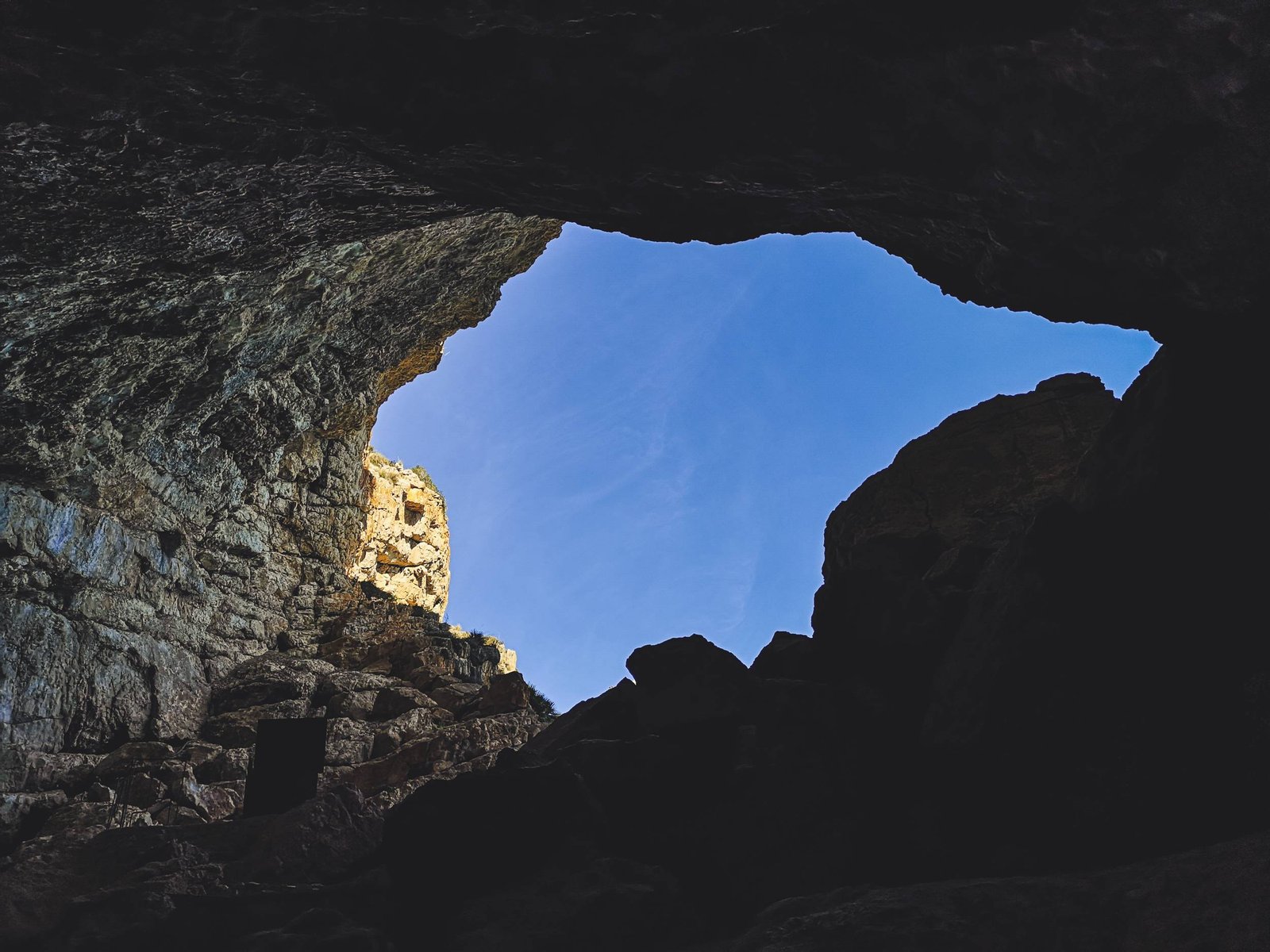
Cova de les Cendres
La Cova de les Cendres (eng. Cendra Cave) is considered to be one of the most important archeological sites in the Iberian Peninsula. The cave was inhabited since the prehistoric times some 20,000 years ago to the Neolithic period 8,000 years ago (The final stage of the Stone Age, characterized by domesticated animals and crops).
The trail down to the Cendra Cave a recent addition as a part of the renewal project of Torre de Vigia walking trail. Making it a good choice for either history fans or off-beaten path adventurers. The trail has a few but very steep steps. It leaves me wondering about the toughness of the prehistoric people – one thing is to descend to or ascend from the cave, but keeping cattle over there?
Cap d’Or
The name of d’Or Cap translates into the Golden Cape, which is associated with the Sun Cult of the Iberian Culture. It is the same word from the infamous “matador”, or “atoreador” from bullfighting, which possibly derived from some ancient Iberian ritual of sacrificing a bull to the Golden Sun.
At the foot of the 16th watchtower of Cap d’Or, lies the ruins of ancient Iberian town. It is not the first such archeological site in the Province of Alicante that gives this energized feeling. Like many ancient cultures, Iberians chose magic places for their settlements or sacred places, based on the movements of the Sun or constellations. Given the rich scenery visible from the top of Cap d’Or: Penon de Ifach, Sierra de Bernia, Sierra de Gelada, and even Puig Campana, I imagine the whole calendar could be laid-out on the horizon.
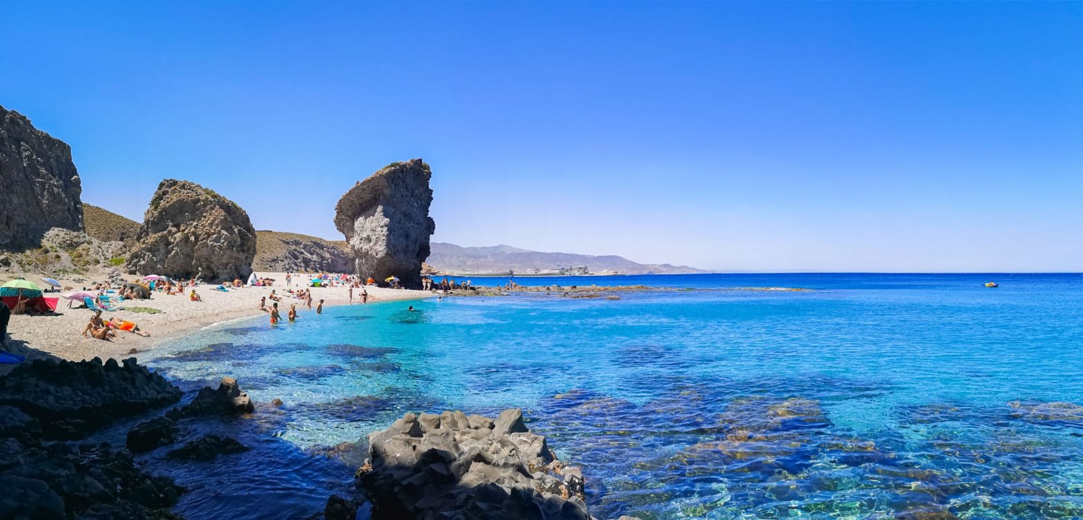
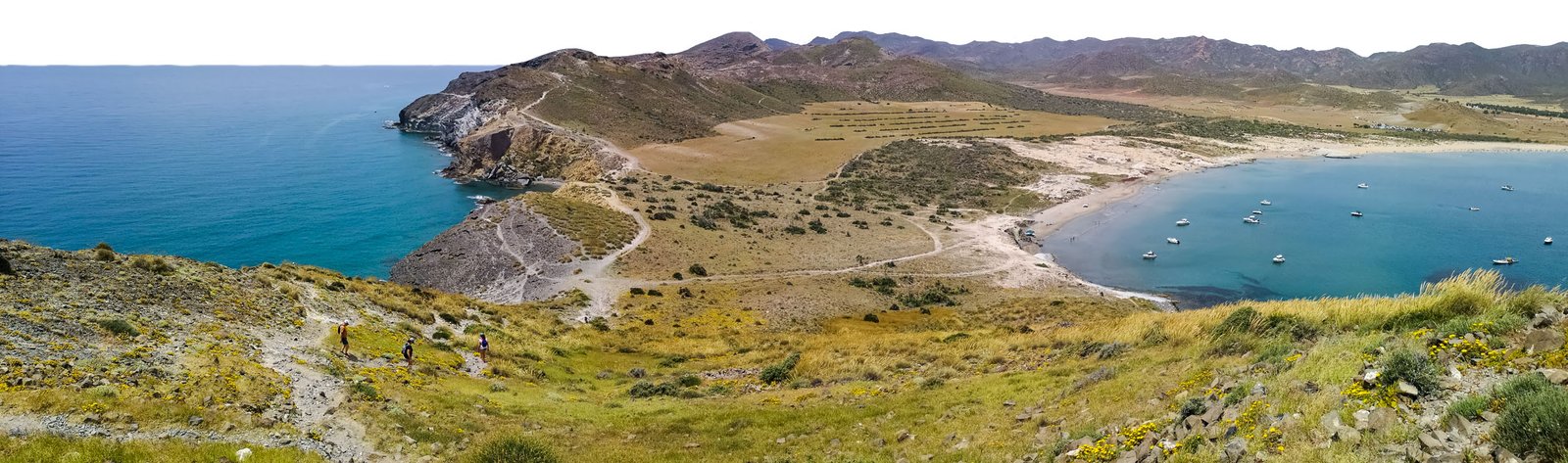
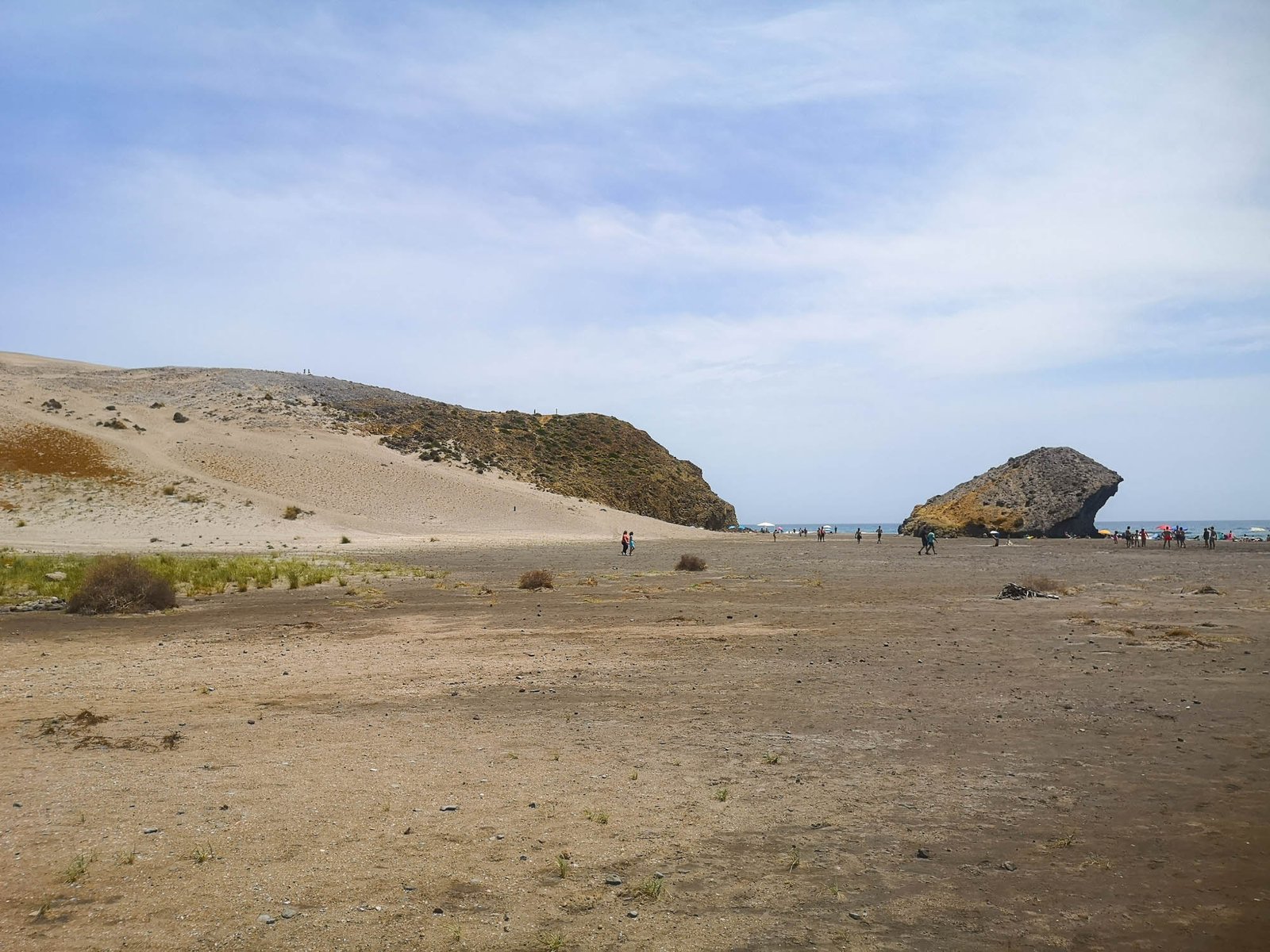
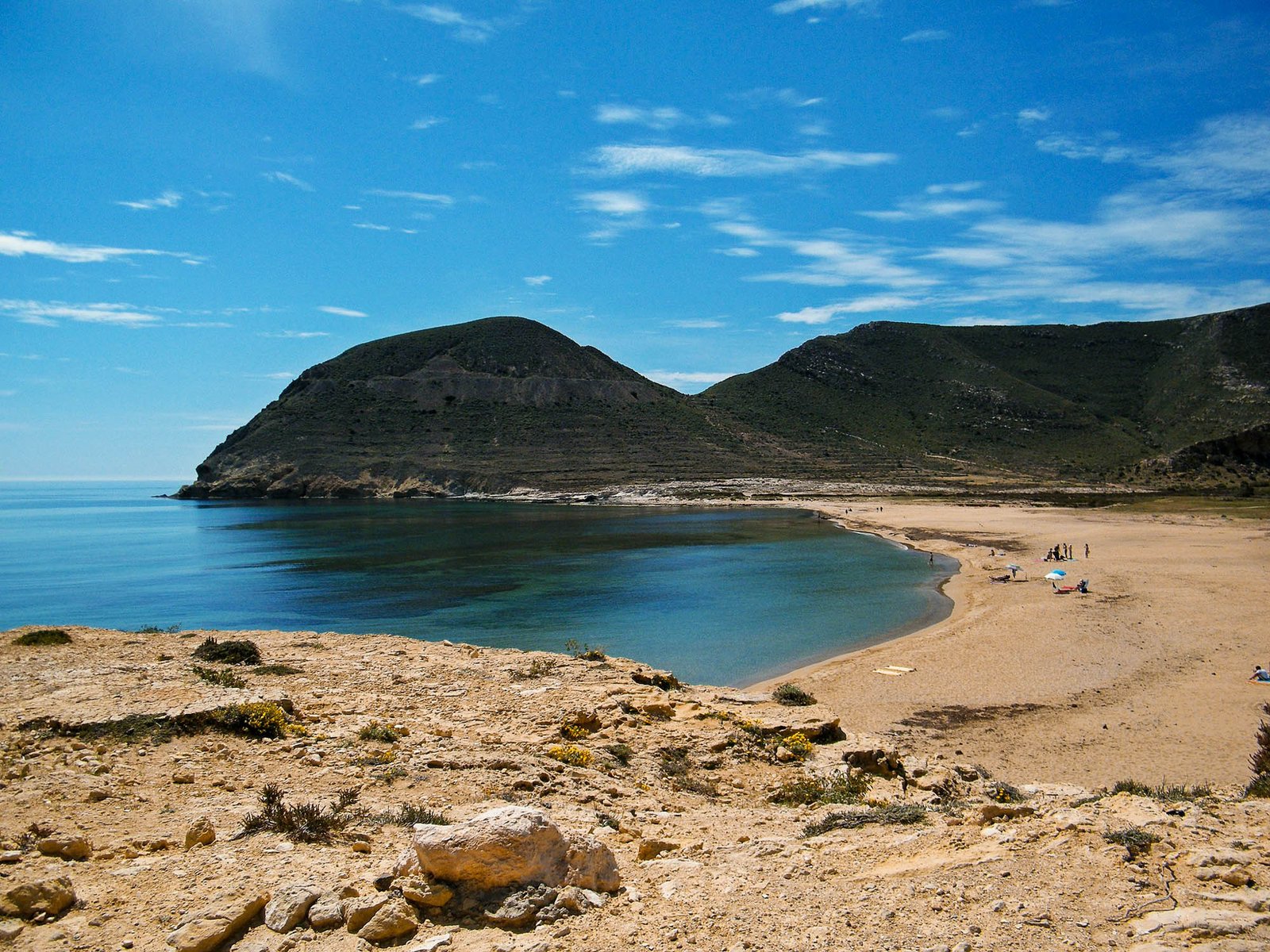
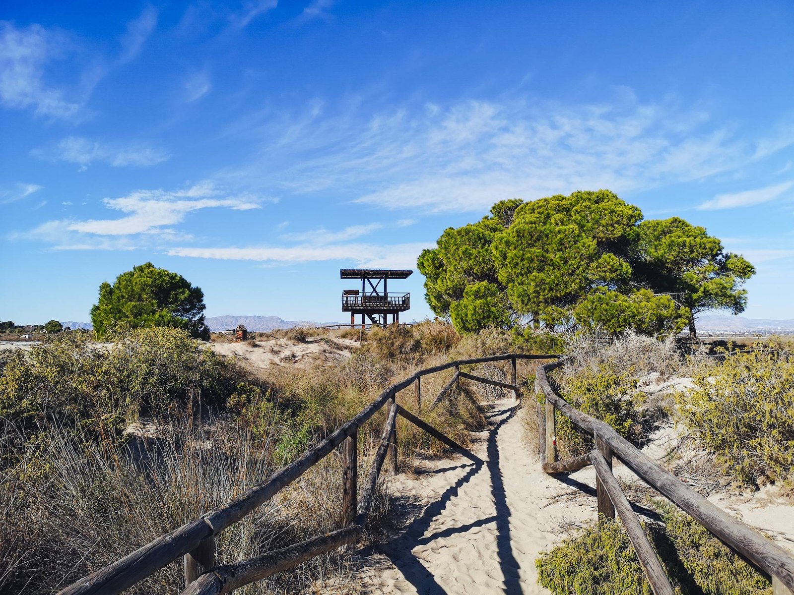
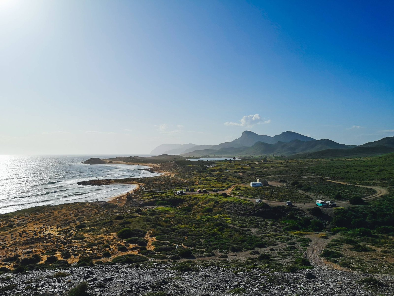
Hiking Granadella
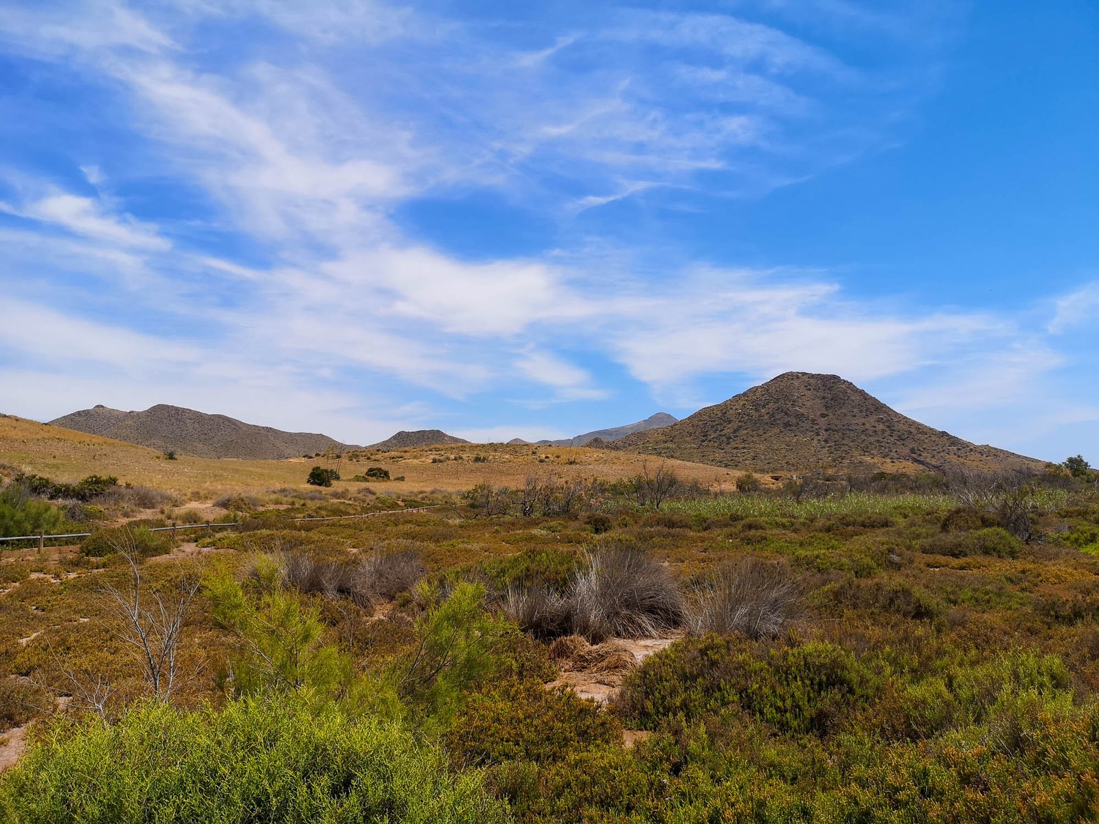
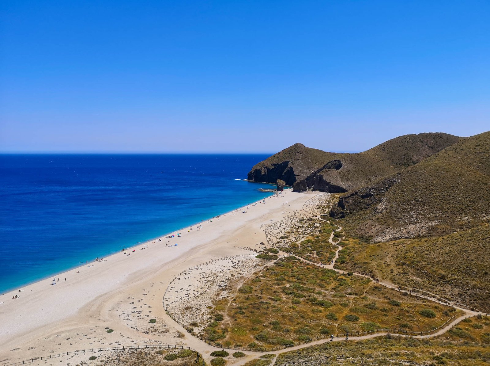
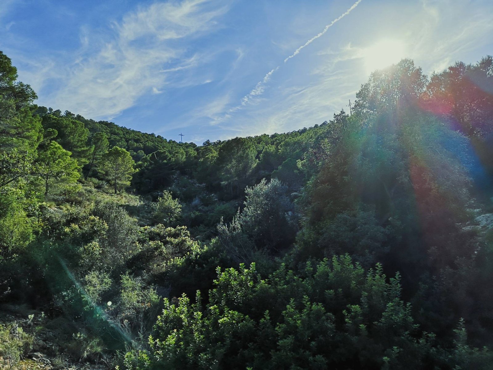
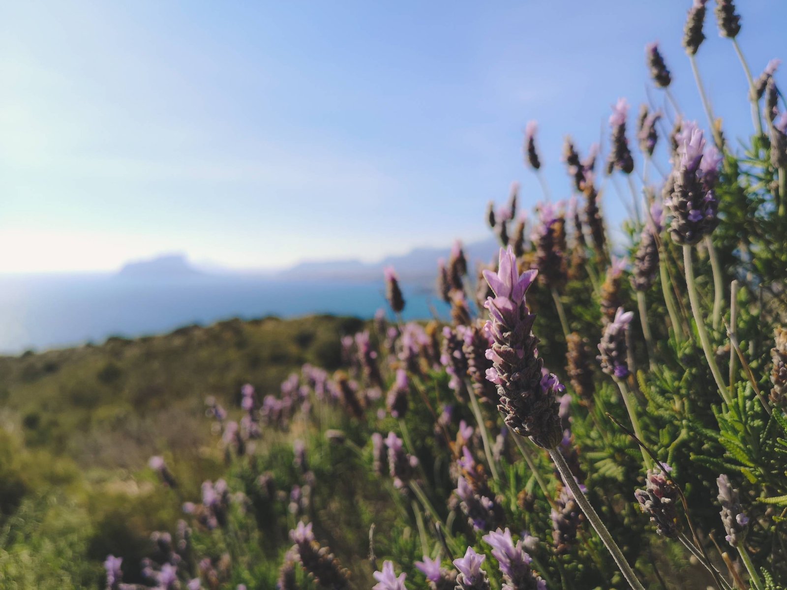
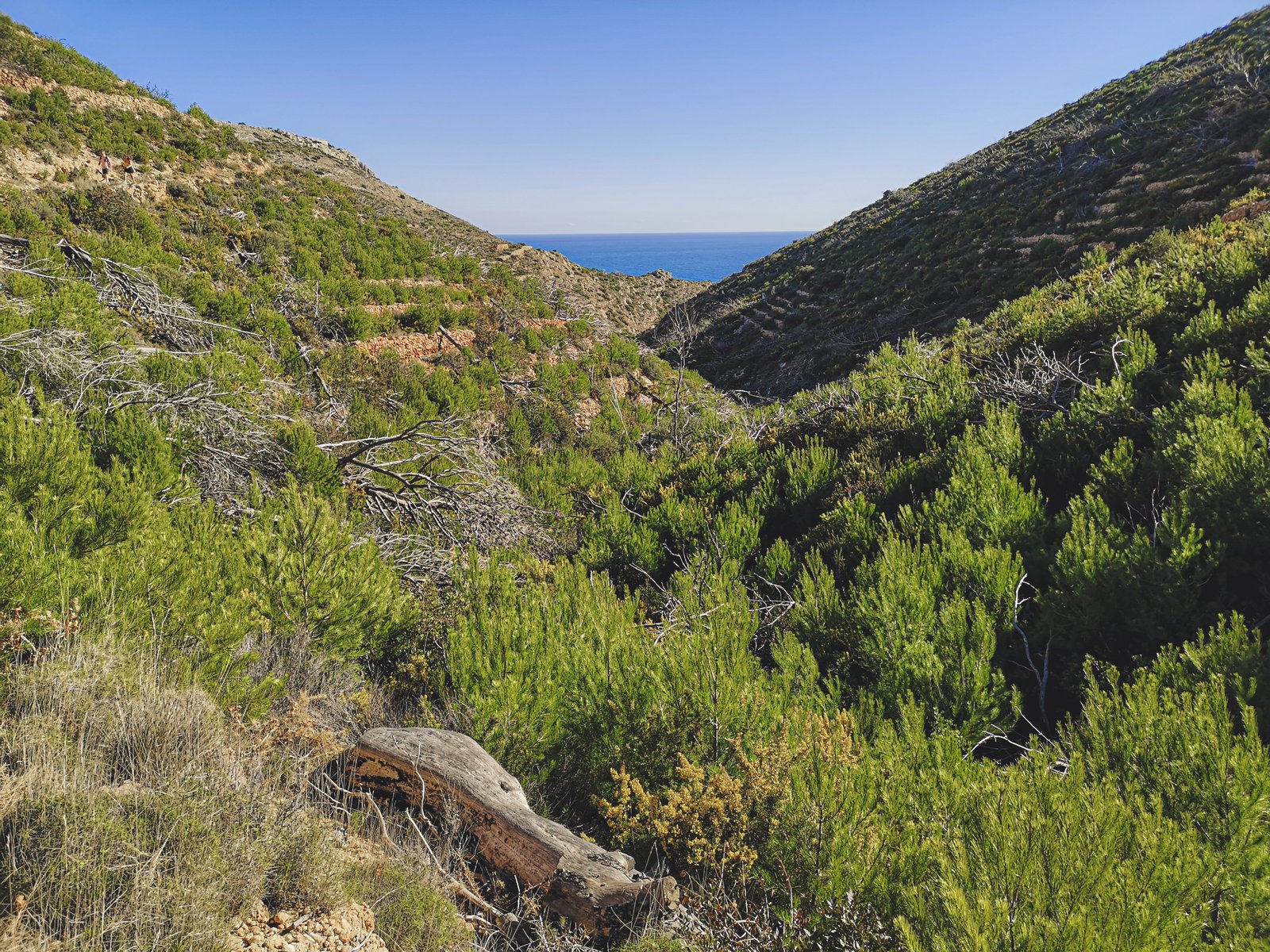
Luckily for us, the Granadella Forest Park area for some reason was left uninhabited, making it one of only two such areas by the coast of Marina Alta. (The other one is, of course, the natural park of El Montgo). Though this park is labeled as a forest, almost no trees are here today. The reason behind this is the terrible wildfires in 2016 that completely devastated vast areas between Javea and Granadella. Remember that most such wildfires are caused by people, so if you chose to hike during a dry season, be extra careful with fire.
Key features
- Wilderness
- Flora
- Fauna
- Good beach
Today, despite being nothing exceptional compared to the famous Park in Marina Alta – El Montgo, being uninhabited alone makes the area around Granadella special. The reason is the possibility to find traces of the original flora and fauna here, which is very rare on the coastline in Marina Alta. To be honest, across the whole country. Among the interesting fauna that you might encounter are hedgehogs, dormice and beetles. You might be not lucky enough to spot these but I’m sure that across the hike you’ll encounter various species of plants and birds like larks, serins, and swallows.
Tip: Note that this area lacks shade, so it is better to come early or in the evening.
Hike Details
- Location: Benitachell
- Starting Location: Hípica Cañada del Sol
- Target Location: Granadella Beach
- Distance: ±3.5 km / 2.18 mi x2
- Ascend: ±210 m / 700 ft
- Type: Linear
- Duration: 60 min x2
- Difficulty: Easy
- Color: Colored
Granadella beach hike is going to unveil most of this unique green space has to offer. The hike will start from urbanización located by the foot of Mount Llorenca and will lead you through a plateau with some ravines. The road will slowly take you towards the cliffs with beautiful vistas of the Mediterranean and Granadella Beach itself. Though the descent to the sea level is relatively steep it is not dangerous at all like in some other hikes on the list. Unfortunately, the beach could be reached by car as well, so it won’t feel as remote as some other places. The upside of this is a couple of cozy restaurants and water sports gear rent. The hike should be perceived as a semi-circular trail in a green area by the sea anyway. Access to Granadella Beach on the midway is just a bonus. It is a perfect option if you are not sure if you want to spend a day in nature or by the beach.
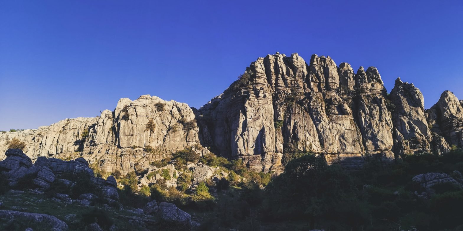
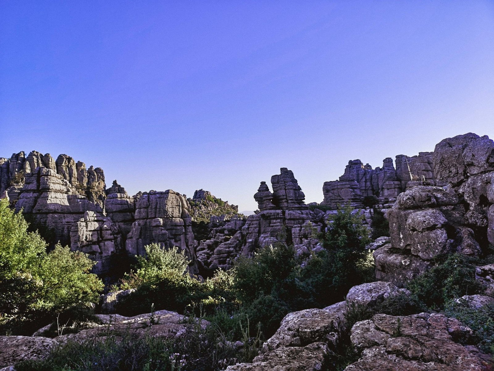
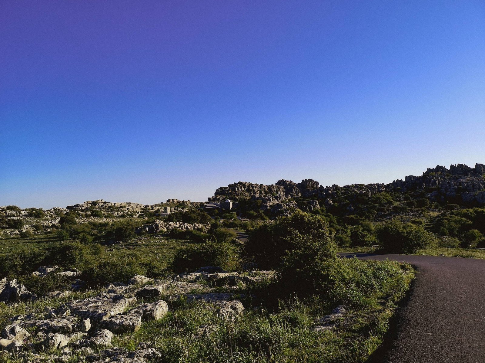
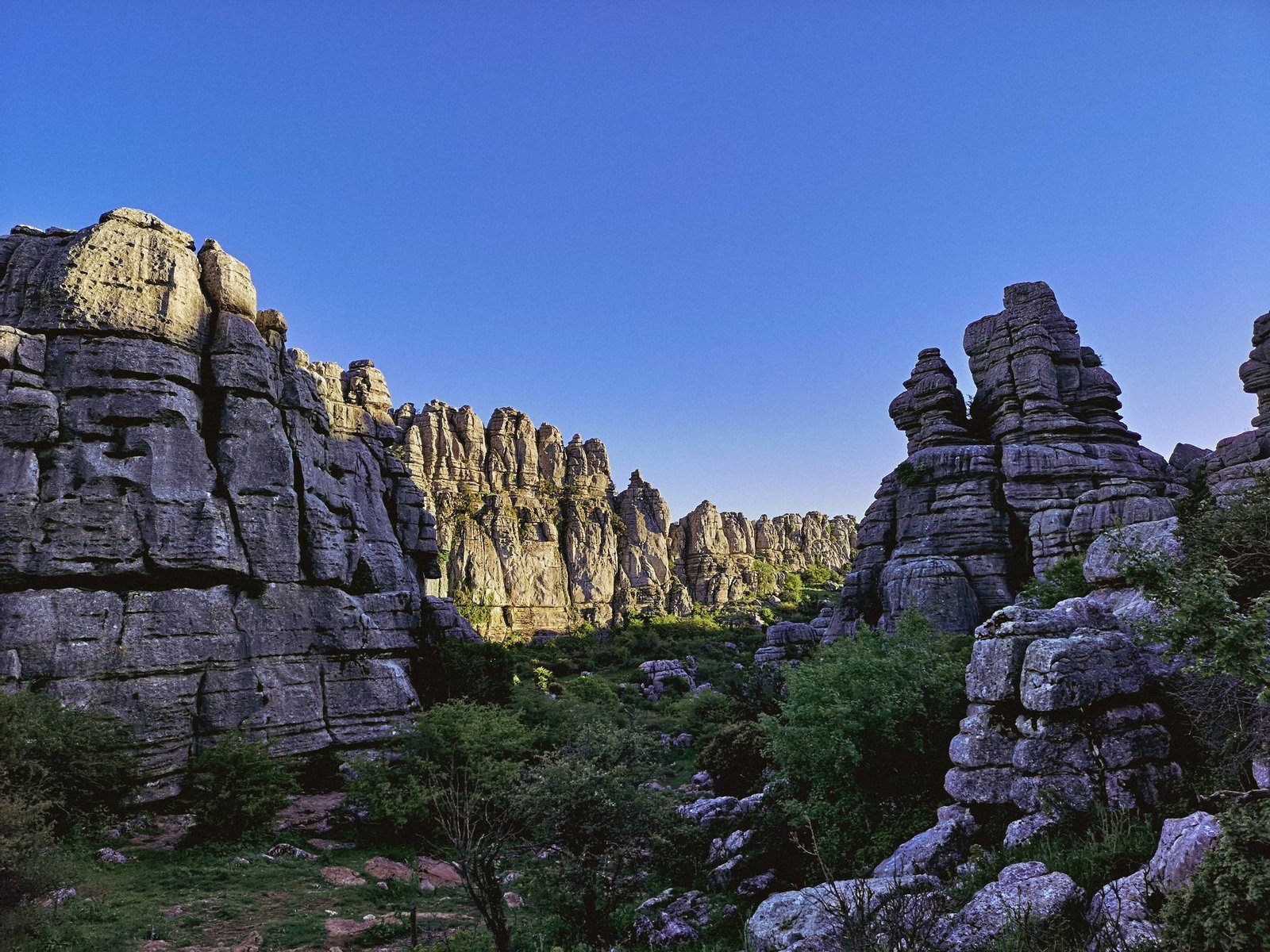
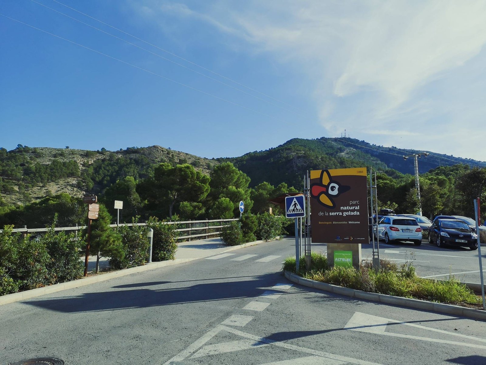
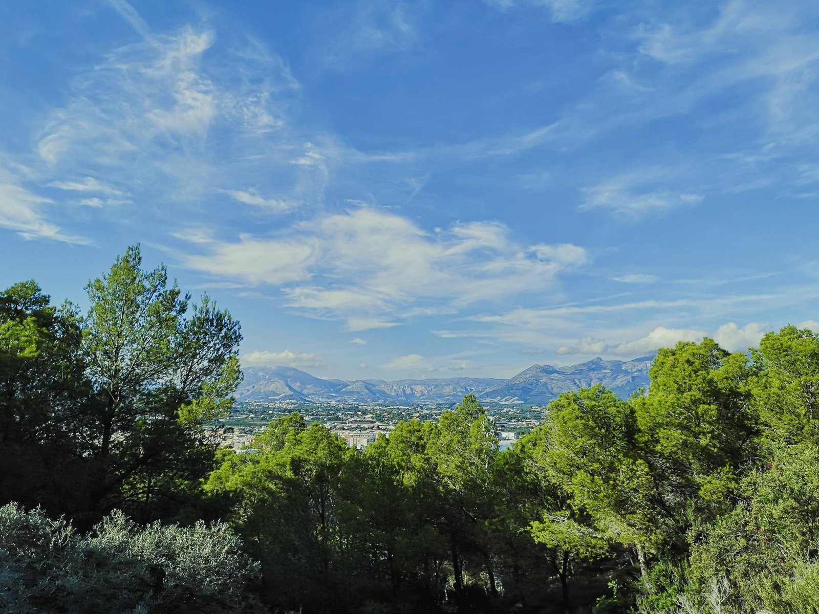
Hiking in Montgo Nature Park
Mount Montgo Massif homes the largest natural park in Marina Alta. Located between the two most populous towns in the region – Denia and Javea – Montgo Nature Park is a naturally popular location for hiking. It has the biggest variety of different difficult routes, and probably is the best destination for a decent outdoors challenge.
Key features
- High cliffs
- Large green areas
- Variety of hikes

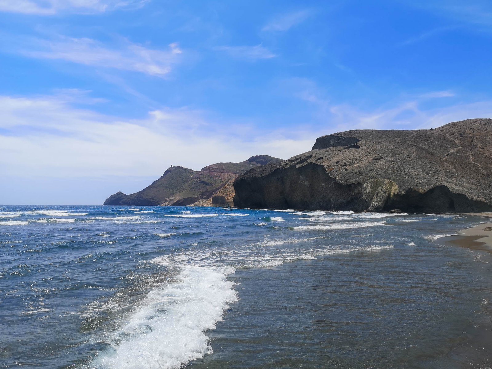
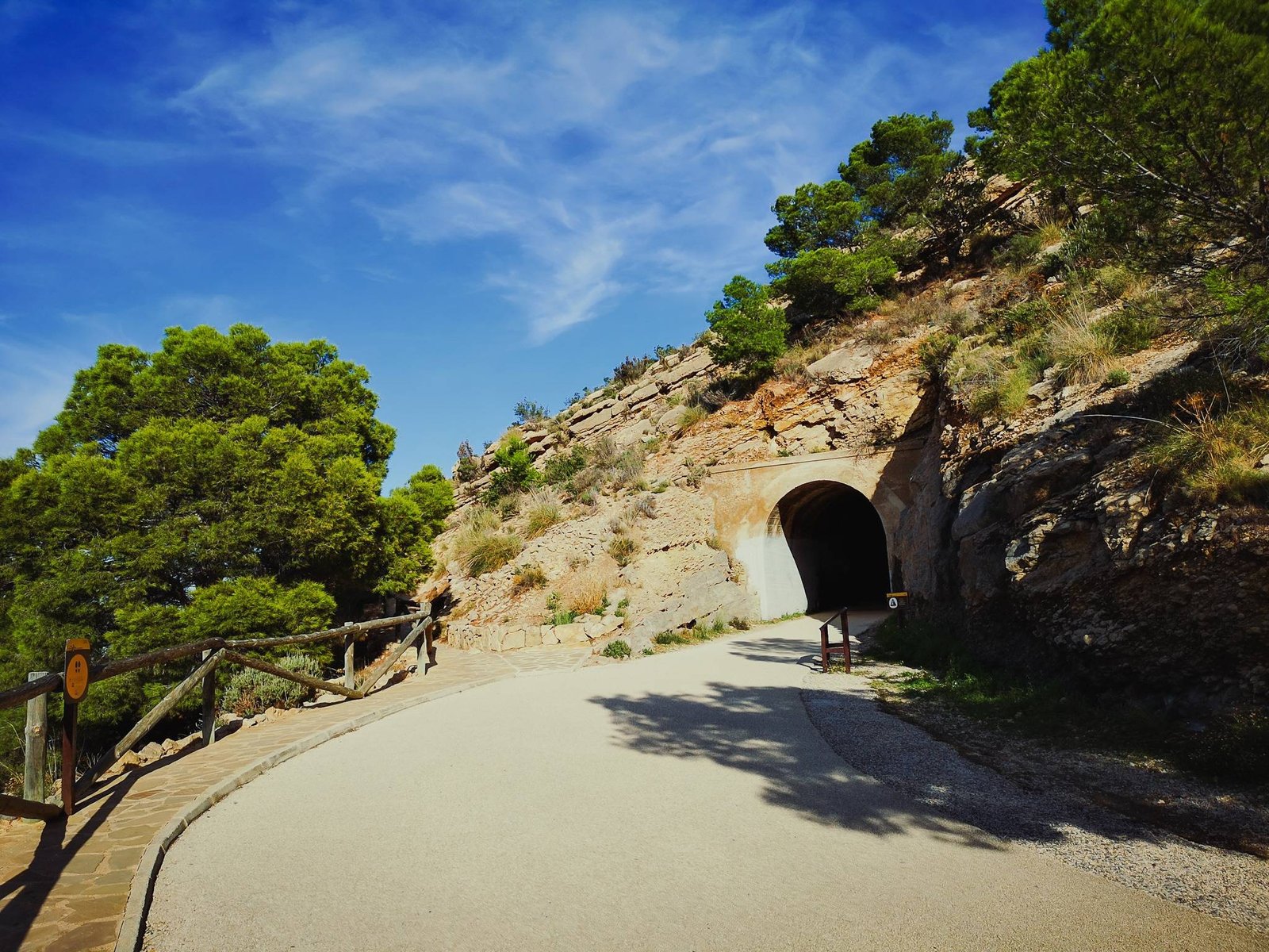
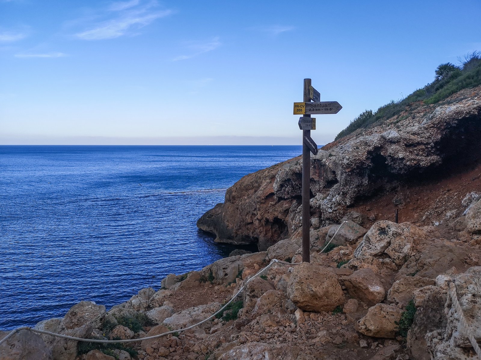
Denia – Cova Tallada Hike
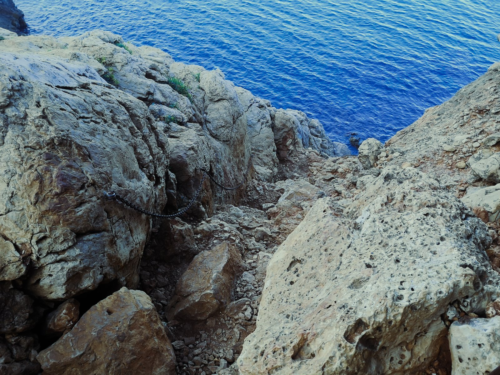
This is a very rewarding, semi-short but a bit difficult hike for inexperienced outdoors people. To most of us, it would be an easy walk in a park without a need for a map but due to the high traffic of visitors, the route becomes a bit more dangerous than it should, so you must be careful of other people’s actions. Otherwise, it is an enjoyable walk along the cliffs, facing the Mediterranean with a few steps and narrow passages with chains.
Key features
- Cova Tallada cave system
- Mount Montgo high cliffs
- Good snorkeling
- Cliff diving
- Kayaking alternative

Hike details
- Location: Montgo Natural Park
- Starting Location: Denia
- Target Location: La Cova Tallada
- Distance: 1km / 0.62mi x2
- Ascend: Flat (~80 m / 260 ft)
- Type: Linear
- Duration: 30-40min x2
- Difficulty: Intermediate
- Color: Yellow
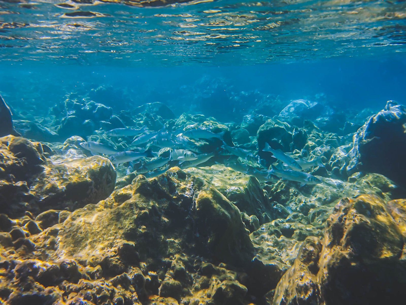
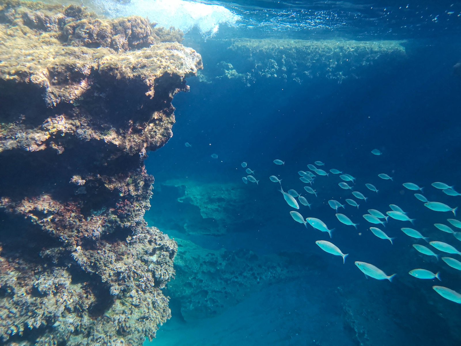
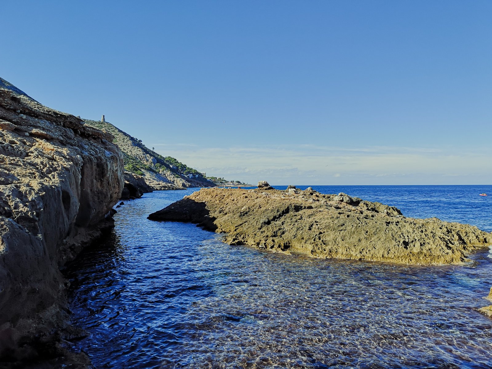
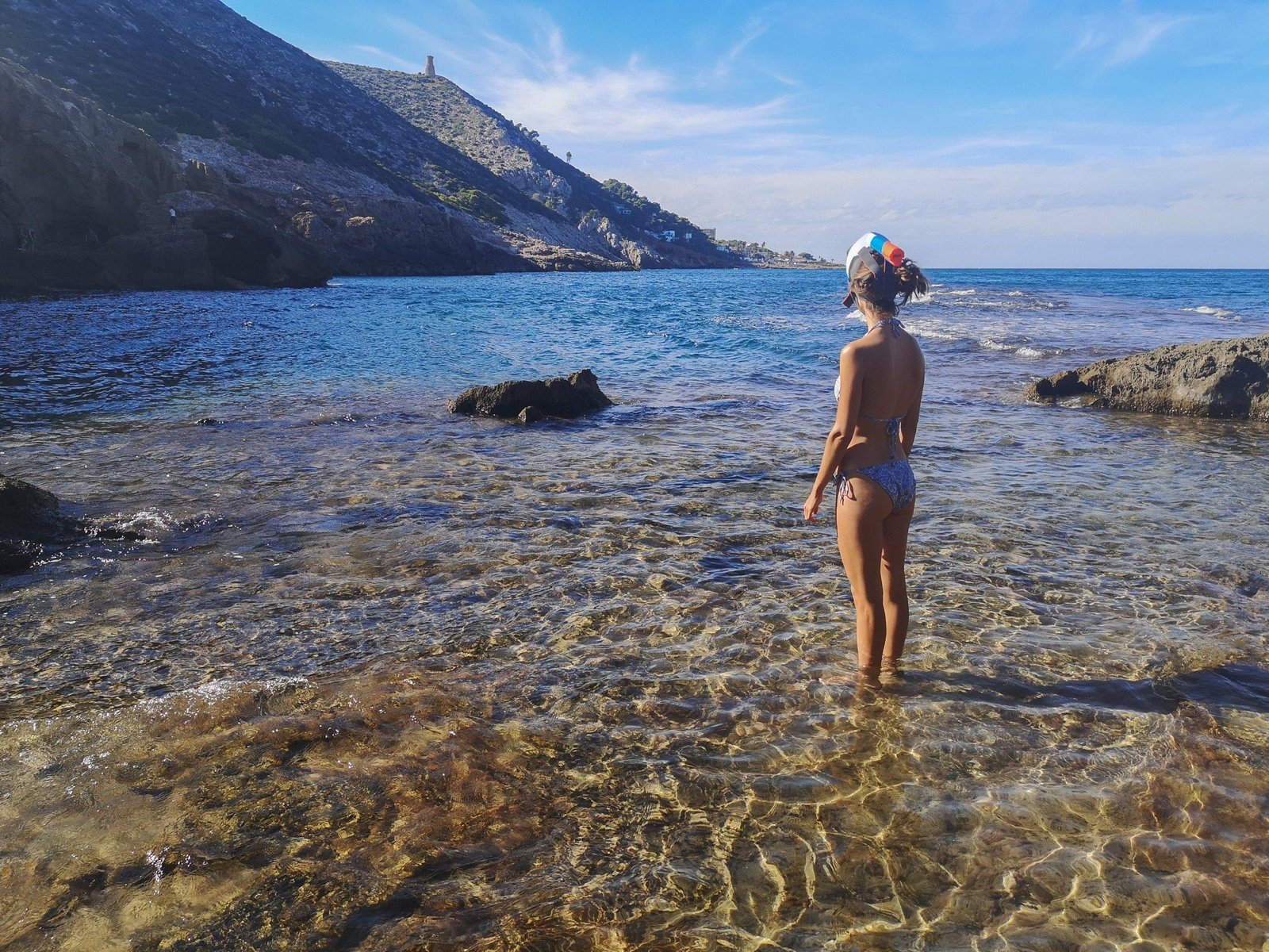
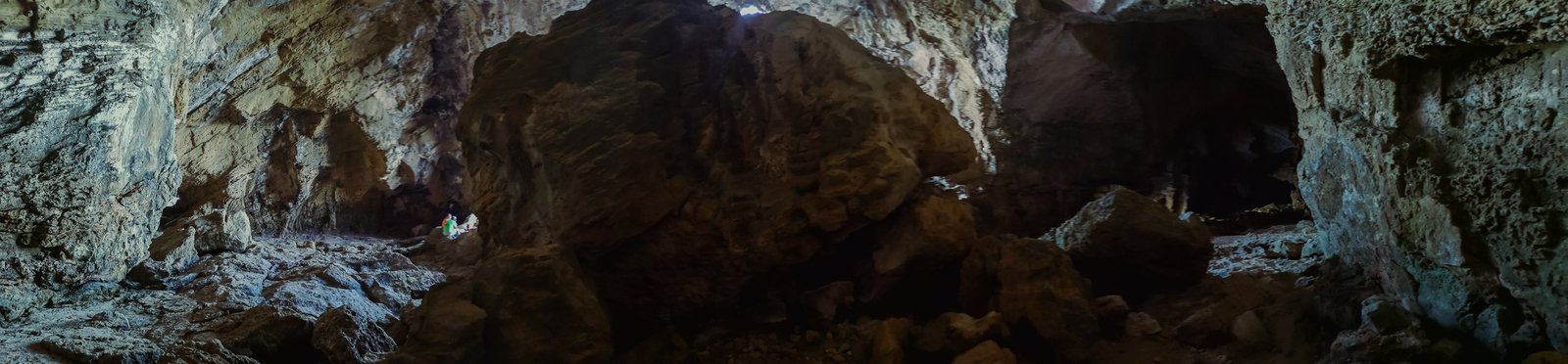
Despite all the obstacles, the hike to Cova Tallada is a wonderful destination to an inland rocky island paradise. Though the red route itself won’t take a lot of your time – be prepared to spend a better half of a day there. Cova Tallada is a beautiful cave system surrounded by pristine Mediterranean water, small islets, and giant cliffs. This spectacular landscape is a great place for a picnic, snorkeling, cliff diving, reading a book, or simply contemplating your thoughts. Just be sure to wear a good pair of hiking boots, take water shoes, and pick up all your trash.
Have in mind that the described Cova Tallada hiking route starts from the Denia side of Mount Montgo Natural Park. Though it is possible to hike to the cave from the Javea side, this is the easiest way to do so. If you want more information on this particular route, you can read my detailed guide of hiking from Denia to Cova Tallada.
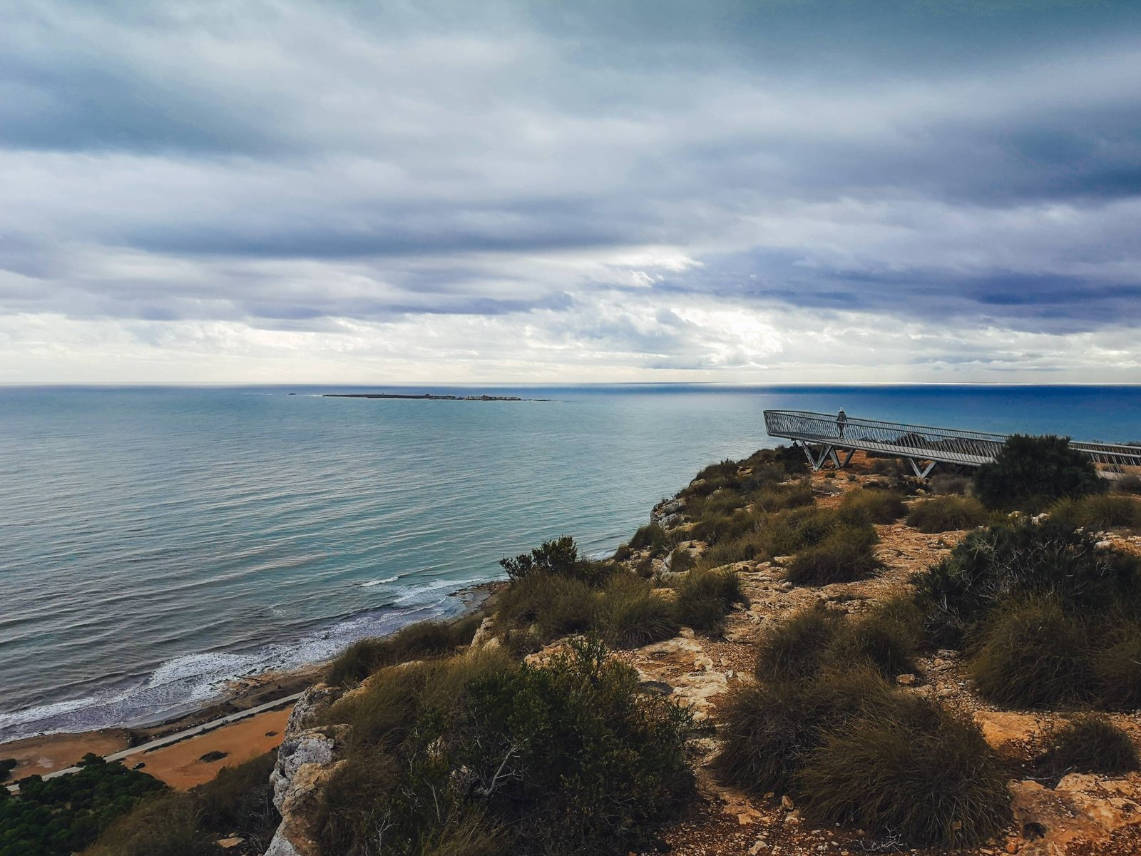
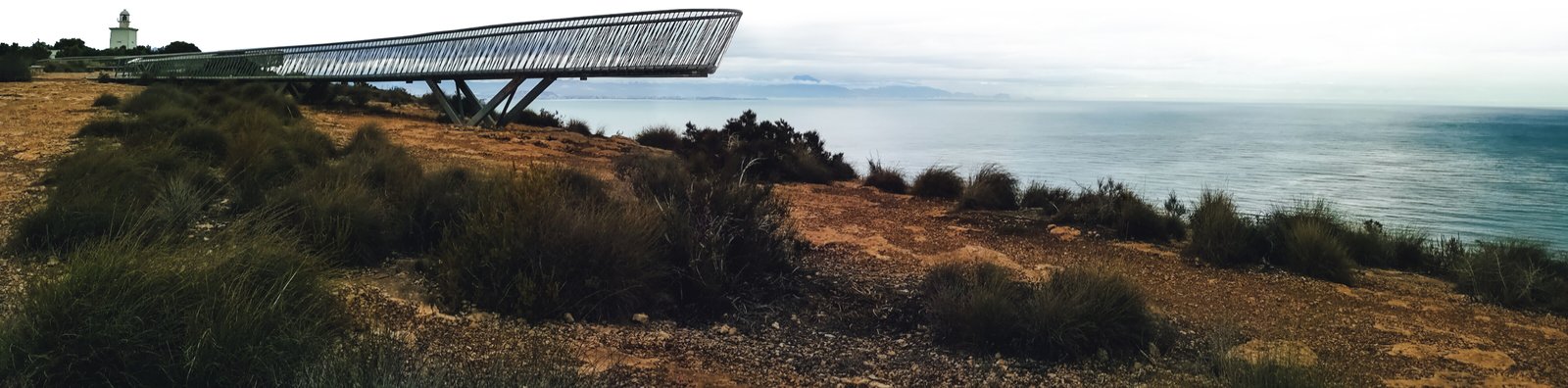
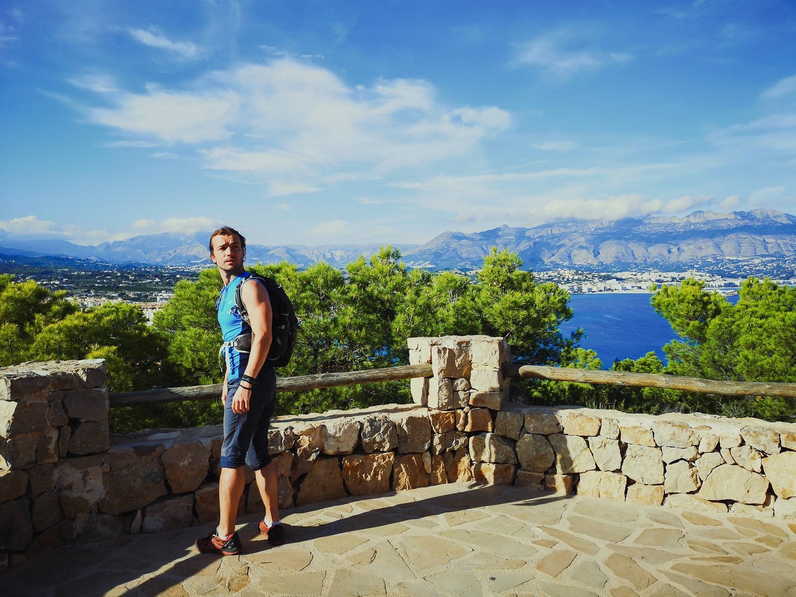
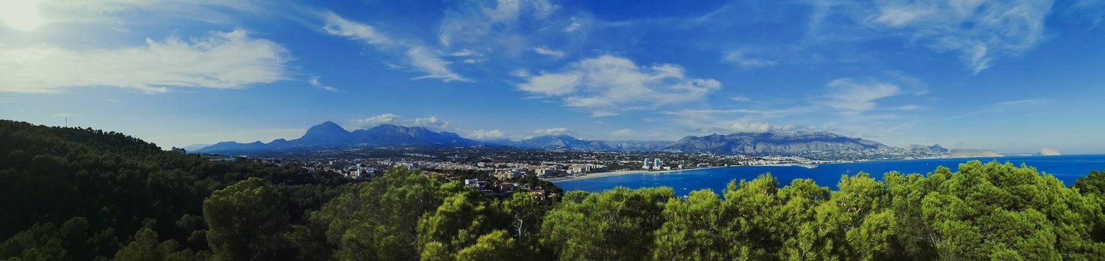
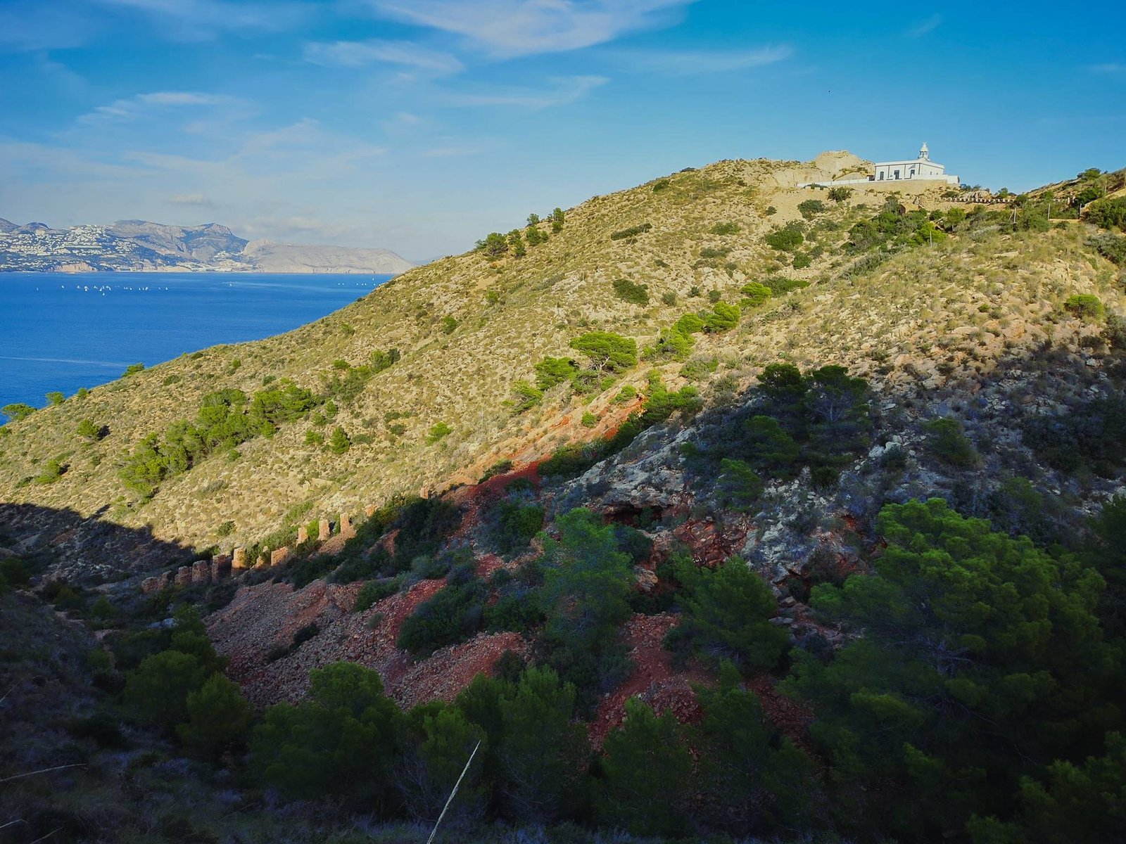
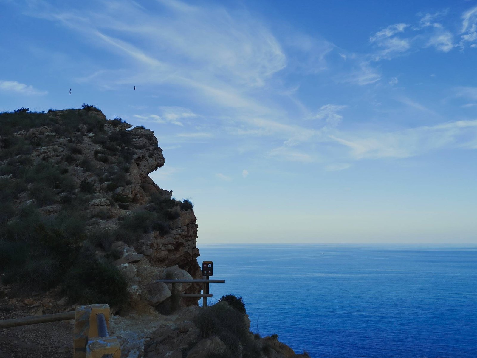
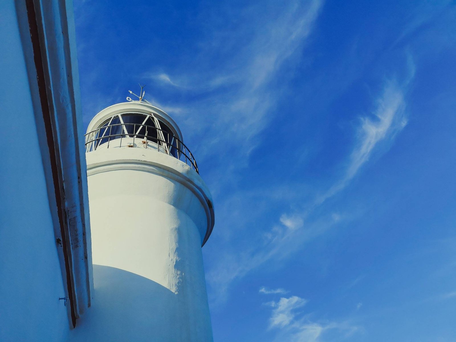
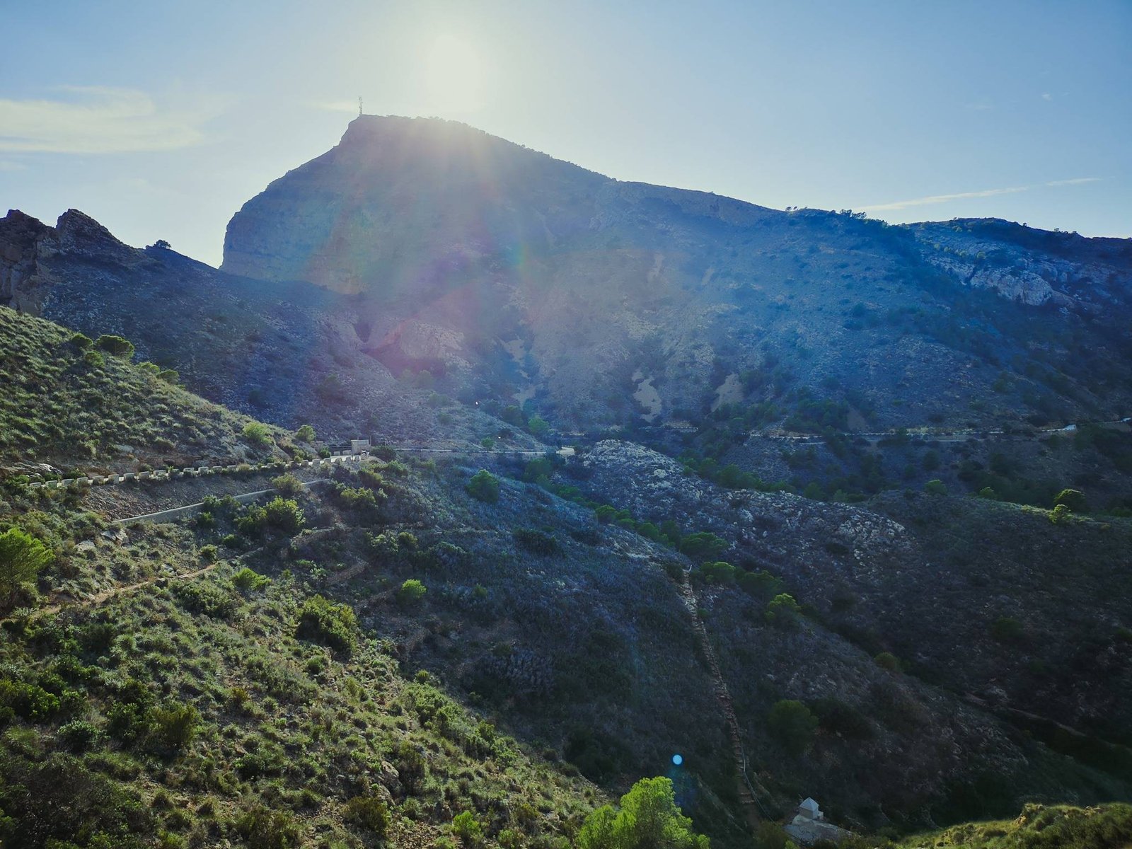
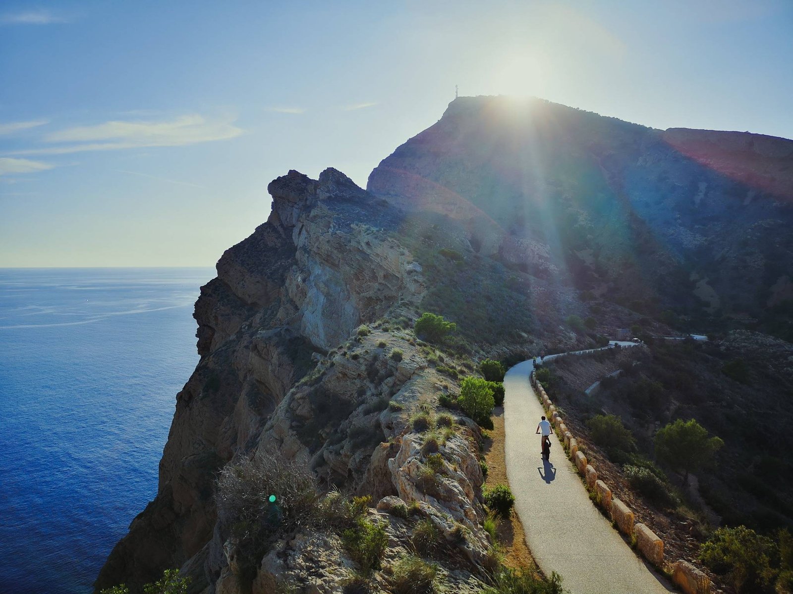
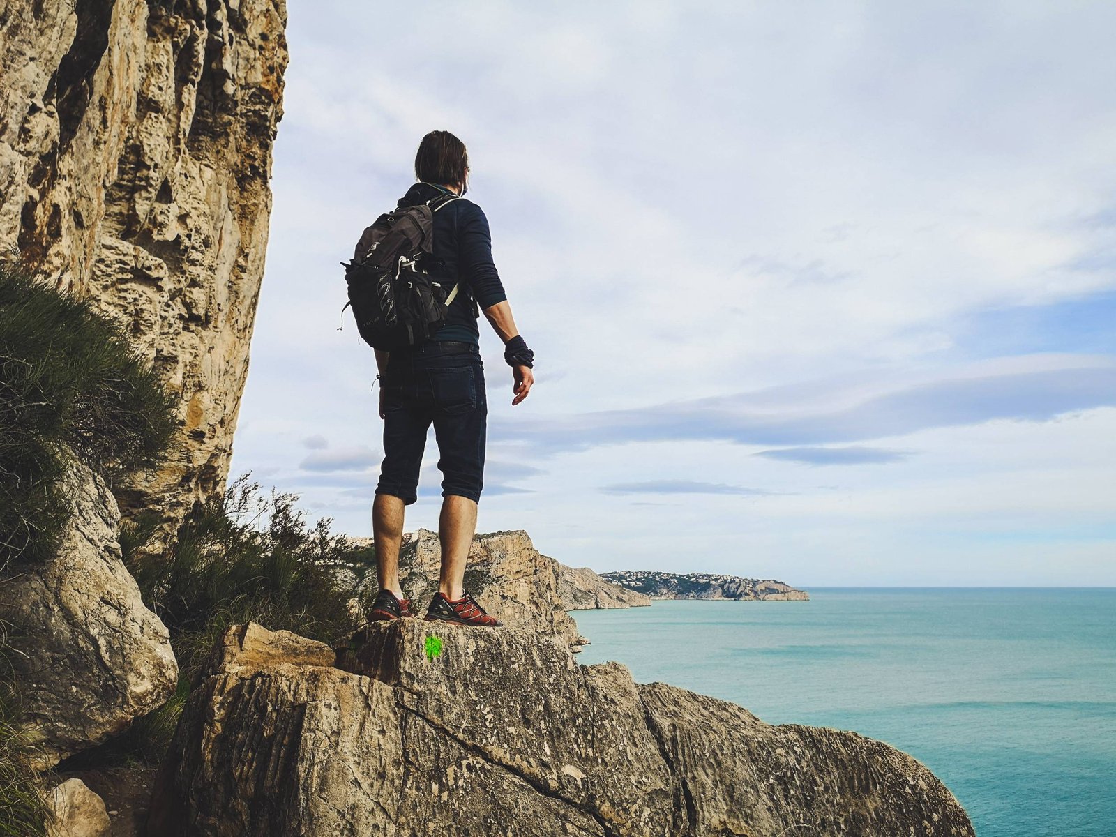
Sant Antoni Cape Hike
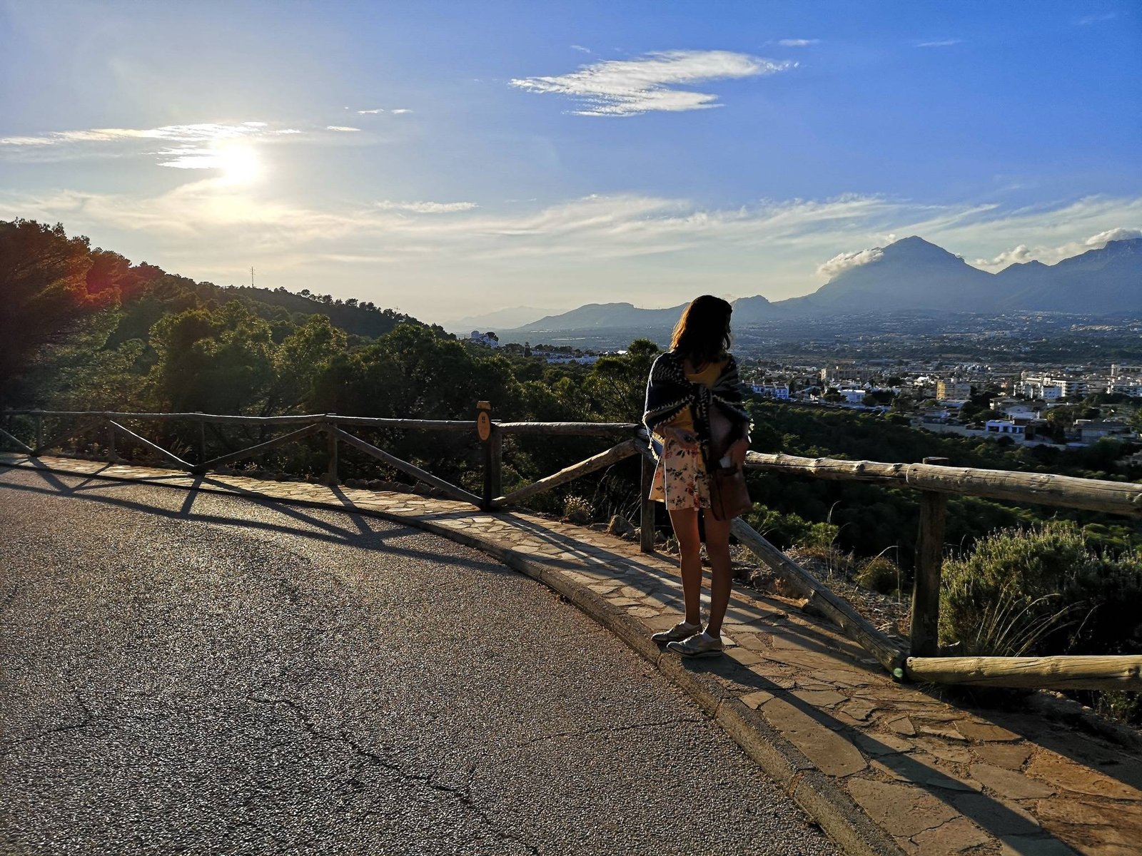
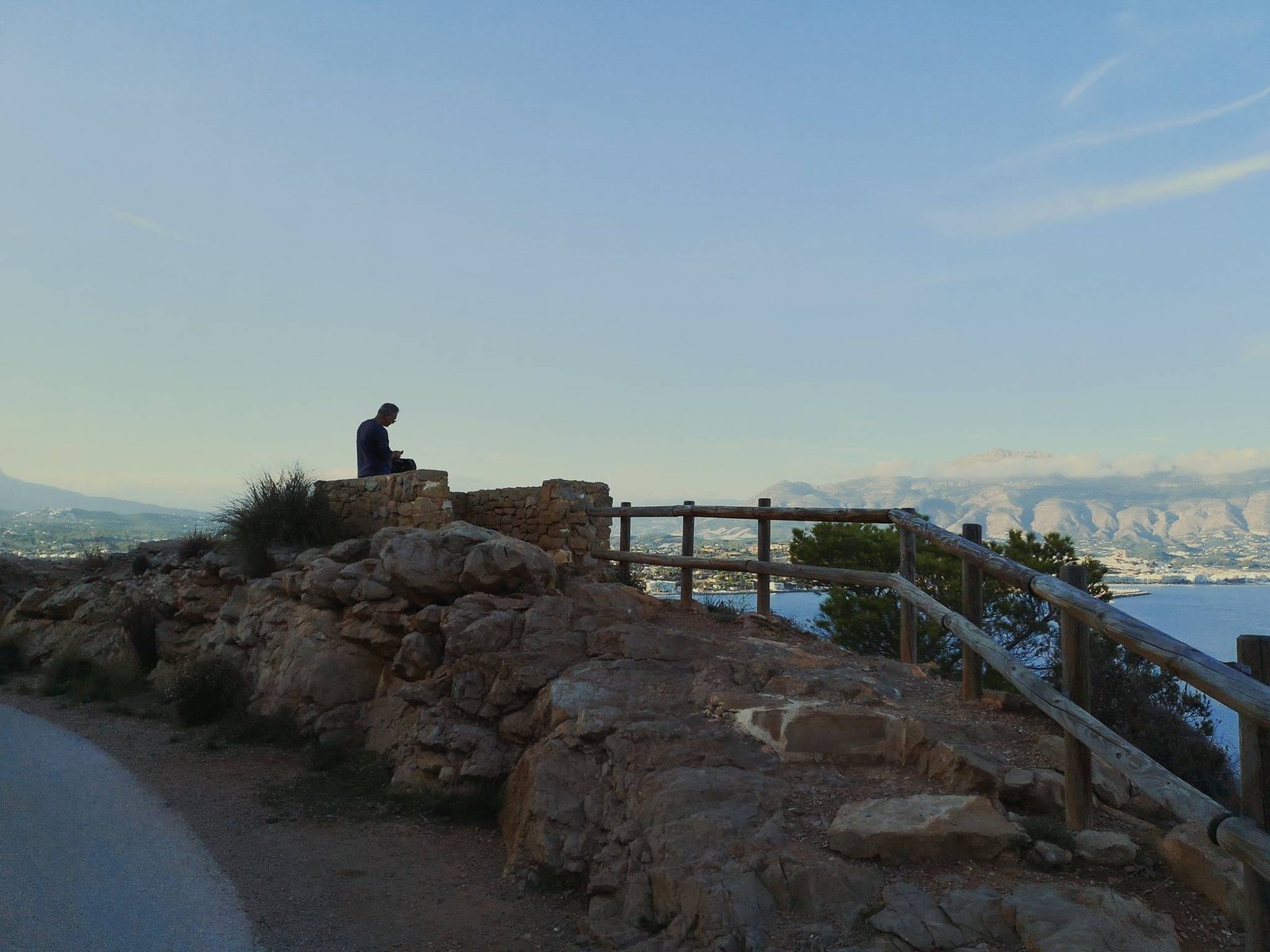
This short hike from the port of Javea to Cap Sant Antoni (eng. Saint Anthony Cape) is just the first steps of the longer hiking trail all the way up to Mount Montgo – PR-CV 355 Port Xàbia-Montgo. Regardless of it, the hiking route stands out on its own as a worthy walk. The climb up to the lighthouse of Cap Sant Antoni is not that challenging but rewarding in different ways. To be more precise, the hiking route has spectacular views of the beaches of Javea, Mount Montgo, Portixol Island, and Cap Prim. Possibly the most impressive part of the hike is the local vegetation, which just seems to be greener than everywhere else. All things considered, the Cap Sant Antoni hike is an easily accessible and rewarding hiking destination.
Key features
- High cliffs
- Pristine beach
- Lighthouse
- Flora
Hike details
- Location: Montgo Natural Park
- Starting Location: Javea port
- Target Location: Cap Sant Antoni
- Distance: 1.9 km / 1.18 mi x2
- Ascend: 154 m / 505 ft
- Type: Linear
- Duration: 1h00 x2
- Difficulty: Easy
- Color: Red
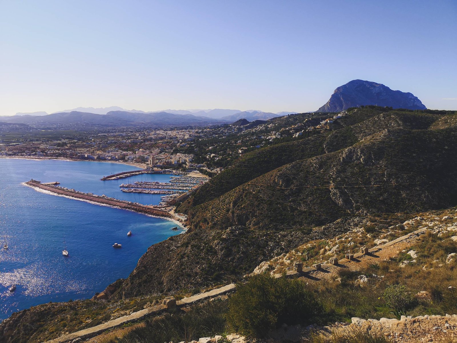
From my own experience of hiking in Marina Alta, I would consider Port Javea – Cap Sant Antoni hiking trail to be the least demanding one. The whole route is a gradual climb up the cliff without any major obstacles ensuring maximum pleasure. Even more so, this straight-up-forward hike doesn’t have any really dangerous passages, thus it is a viable option for more experienced families. I’ve seen many people walking their dogs on this hiking route and I can’t blame them. If I was living in Javea and had a dog – I would probably do the same.
Once you get on top of Cap Sant Antoni don’t forget to visit all viewpoints to enjoy the beautiful scenery of Javea Bay and beyond while doing so. I wouldn’t recommend going off the official route as things might get ugly rather quickly. Along with Sant Antoni lighthouse, you’ll find remains of the past eras. Though I haven’t found any information on this, I’m sure Cap Sant Antoni was inhabited by humans since the deep stone age.
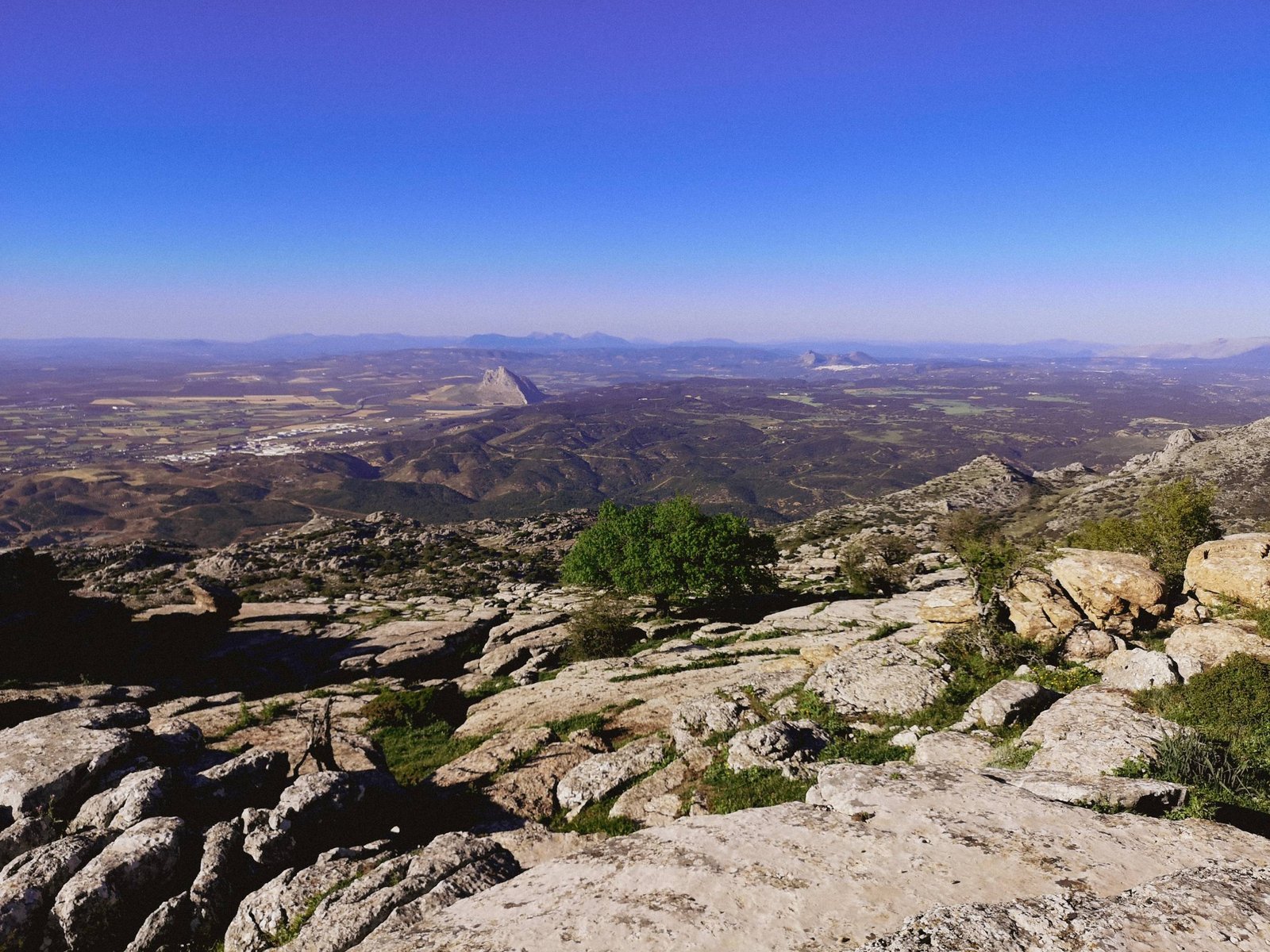
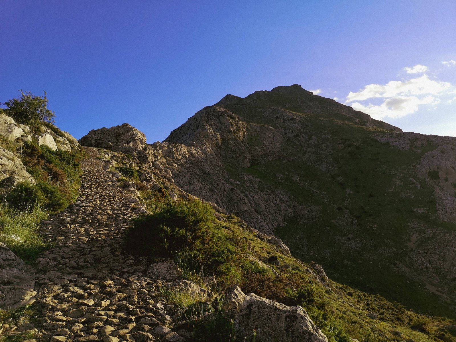
Jesus Pobre – Montgo Mountain Hiking Trail
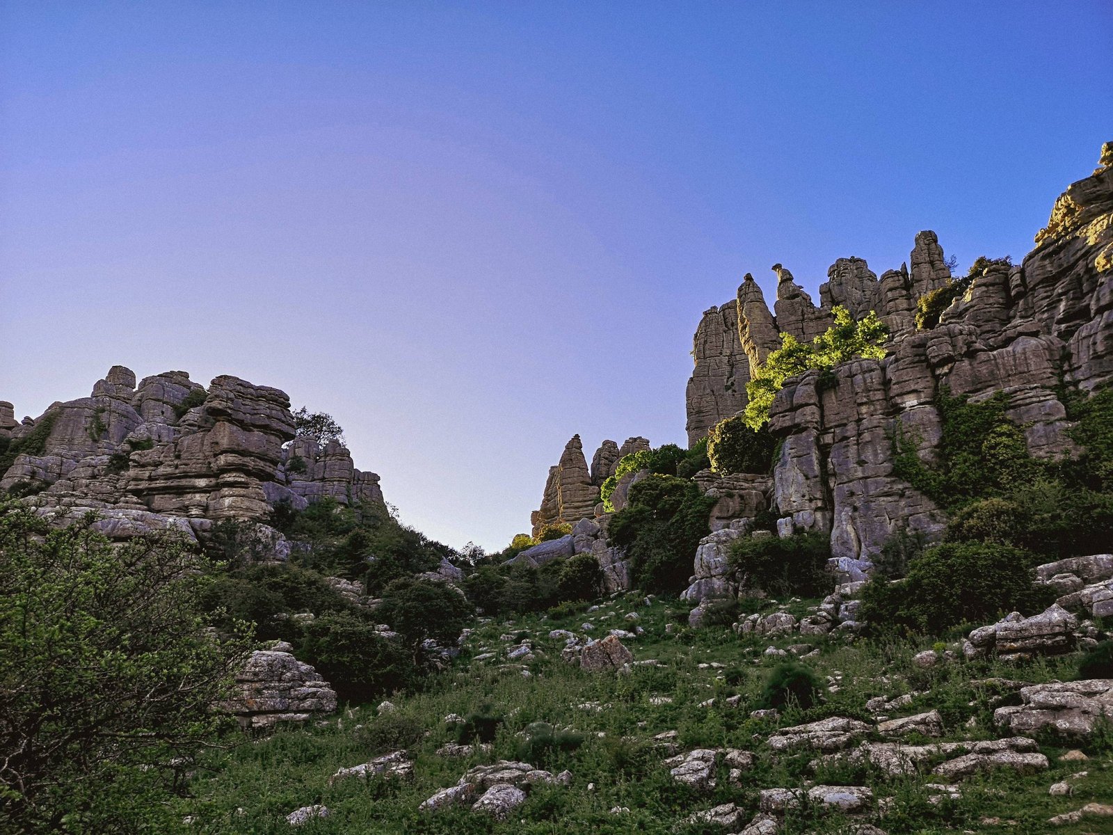
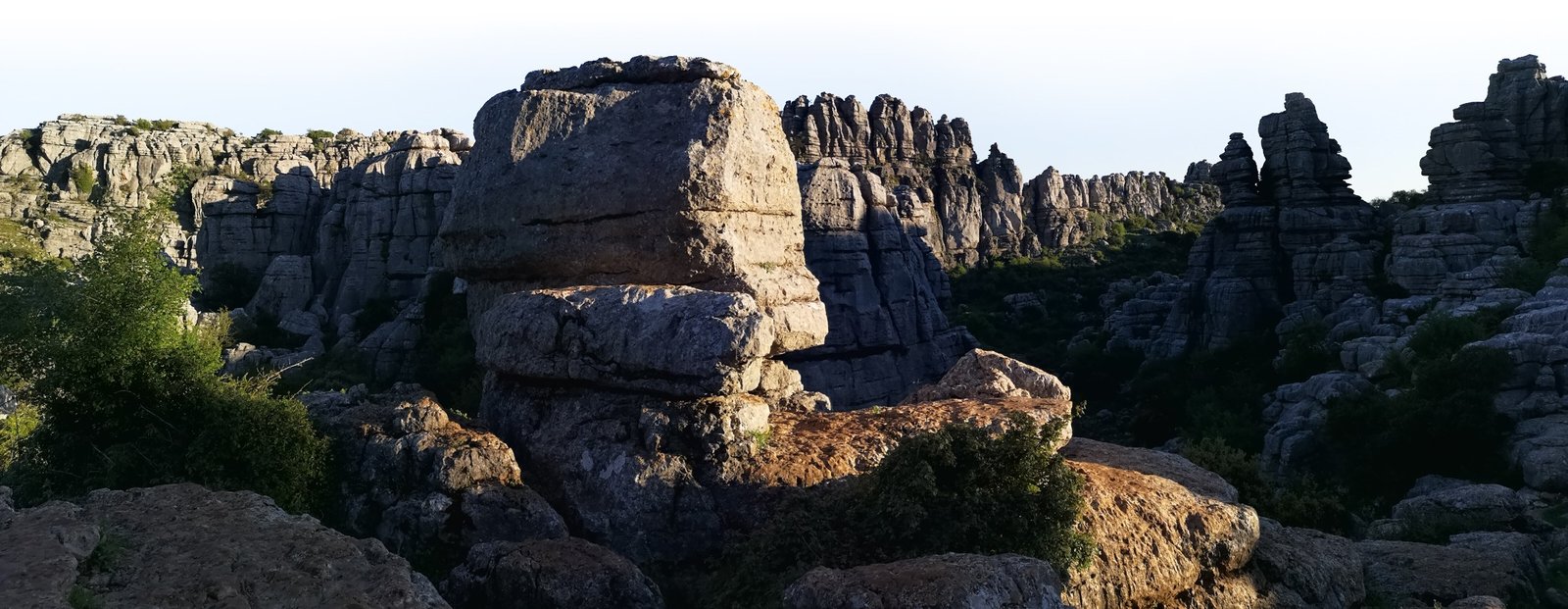
There is not much to say – getting on the top of Mount Montgo is the ultimate challenge in Marina Alta. The only question is how you want to do it. The route I chose is not the shortest, but still doable within a day, and the upside is that the climb from Jesus Pobre is not as steep as the alternative options. Neither route is recommended for less experienced hikers. Climbing mountains is very rewarding but the hike itself might be tough and not as interesting as the amazing alternatives in Marina Alta I mentioned before. Nevertheless, Mount Montgo will open breath-taking views to those who dare to challenge it.
During the hike, be sure to appreciate the walls of an ancient Iberian town – La Penya de l’Àguila, which dates as far as to the 5th century BC.
Key features
- Mountain peak
- Iberian ruins
- Challenge
- Flora
Hike details
- Location: Montgo Natural Park
- Starting Location: Jesus Pobre
- Target Location: Mount Montgo
- Distance: 6.27 km / 3.9 mi x2
- Ascend: 746 m / 2,447 ft
- Type: Linear
- Duration: 3h45 x2
- Difficulty: Hard
- Color: Green
How to get to Marina Alta
Since Marina Alta is the easternmost part of mainland Spain, the main roads tend to cut this beautiful “corner”. While most of the region could be easily accessed, getting to the coastline of Marina Alta is not as simple as anywhere else in the Province of Alicante. Given that, the quality of the local roads is very good compared to the other regions due to the richness of the area.
You can reach Marina Alta by either AP-7 Autopista Mediterraneo (eng the Mediterranean Motorway), or the lesser N-332, which will get you just a bit closer to the heartland of Marina Alta. Either way, you need to look for Benissa or Teulada (CV-740) – the main gateways to the rest of the region. Both can only be accessed from N-332, thus you’ll need to enter it from AP-7 first to get any further.
Pro tip: From 2021, most of AP-7 in Marina Alta is free.
Personal Experience
Without a doubt, Marina Alta is the most beautiful part of a really attractive Costa Blanca. The same case could be made not only for the Valencian Community but for the whole coastline of the Spanish mainland of the Mediterranean. Having that in mind, I must admit that it was not a love from first sight for me. Most of Costa Blanca is massively urbanized and almost exclusively for ex-pats and tourists. As a result, it is even hard to find that desired temperament of Spanish culture in the area. Of course, there is one upside to that – you’ll find communicating in English around these areas much easier than in most of Spain.
Having all that in mind, it took me a while to learn to see all the prettiness of the region through the crowds of tourists and ex-pat houses. What did I find? Exceptionally beautiful landscape, where mountains meet the sea. Marina Alta has everything a true nature lover desires. Traveling through Marina Alta’s inland and coastal areas made me wonder what the whole landscape looked like without all the urbanization, especially during the magic times of the Iberian Culture. These people chose Marina Alta and the surrounding landscape as their home for a reason and so do thousands of people today.